
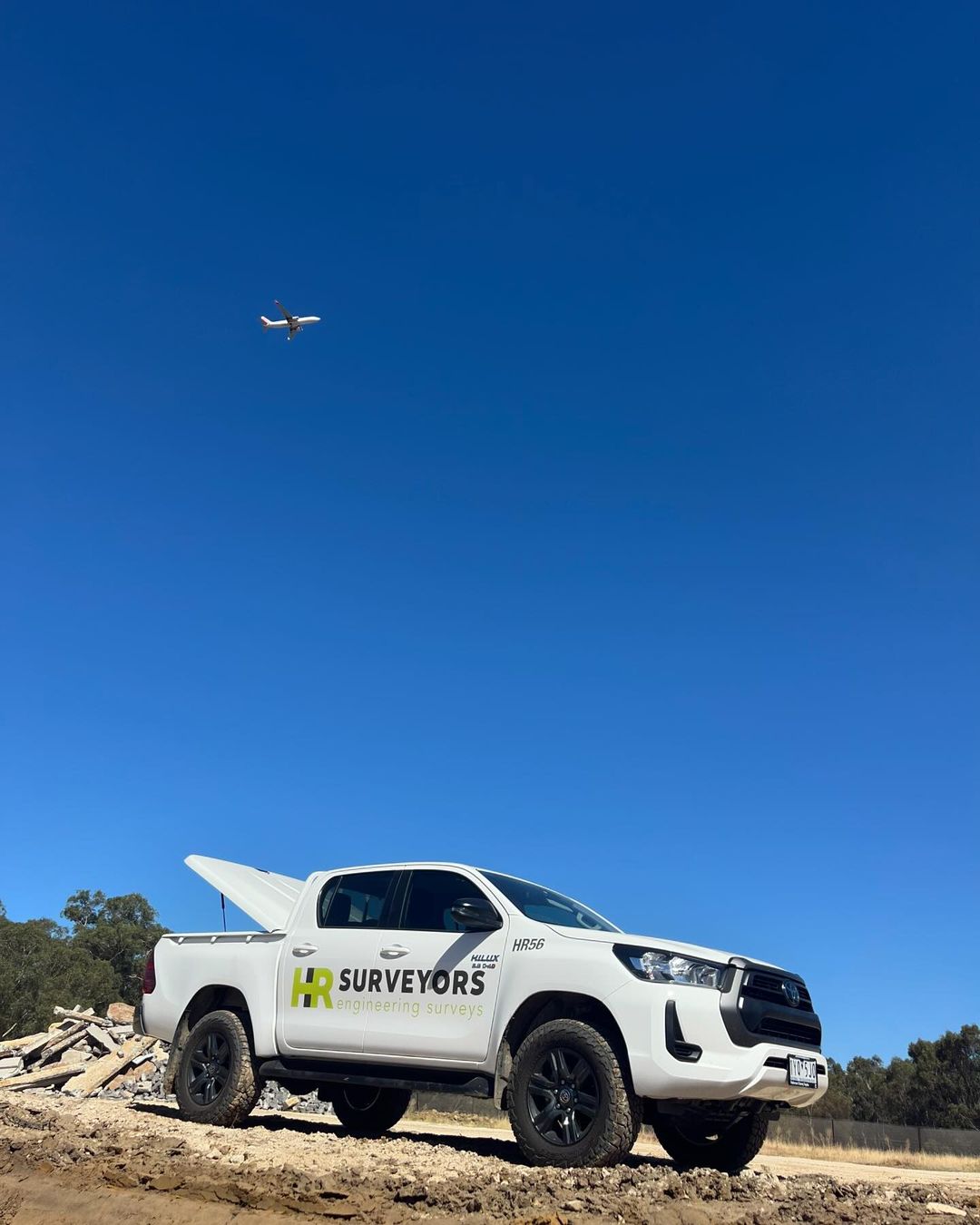
Australia's leading engineering surveyors since 2012. We deliver unmatched expertise nationwide.


2012
Established
70+
Employees
5
Offices
High-precision surveys for apartment complexes, high-rise buildings, schools, and residential projects.
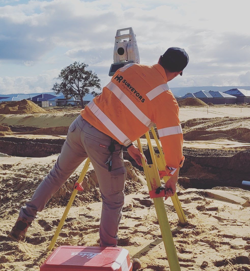
With extensive experience in the building and construction sector, we deliver high-precision surveys for apartment complexes, high-rise buildings, schools, and residential projects. Understanding that each project is unique, we tailor our services to meet the specific needs of every client. From initial site datum setup to final as-constructed surveys, our team ensures accurate data and seamless execution, giving you the confidence to complete your project on time and within budget.
View service pageExpertise for road upgrades, subdivisions, bridges, pipelines, and rail projects.
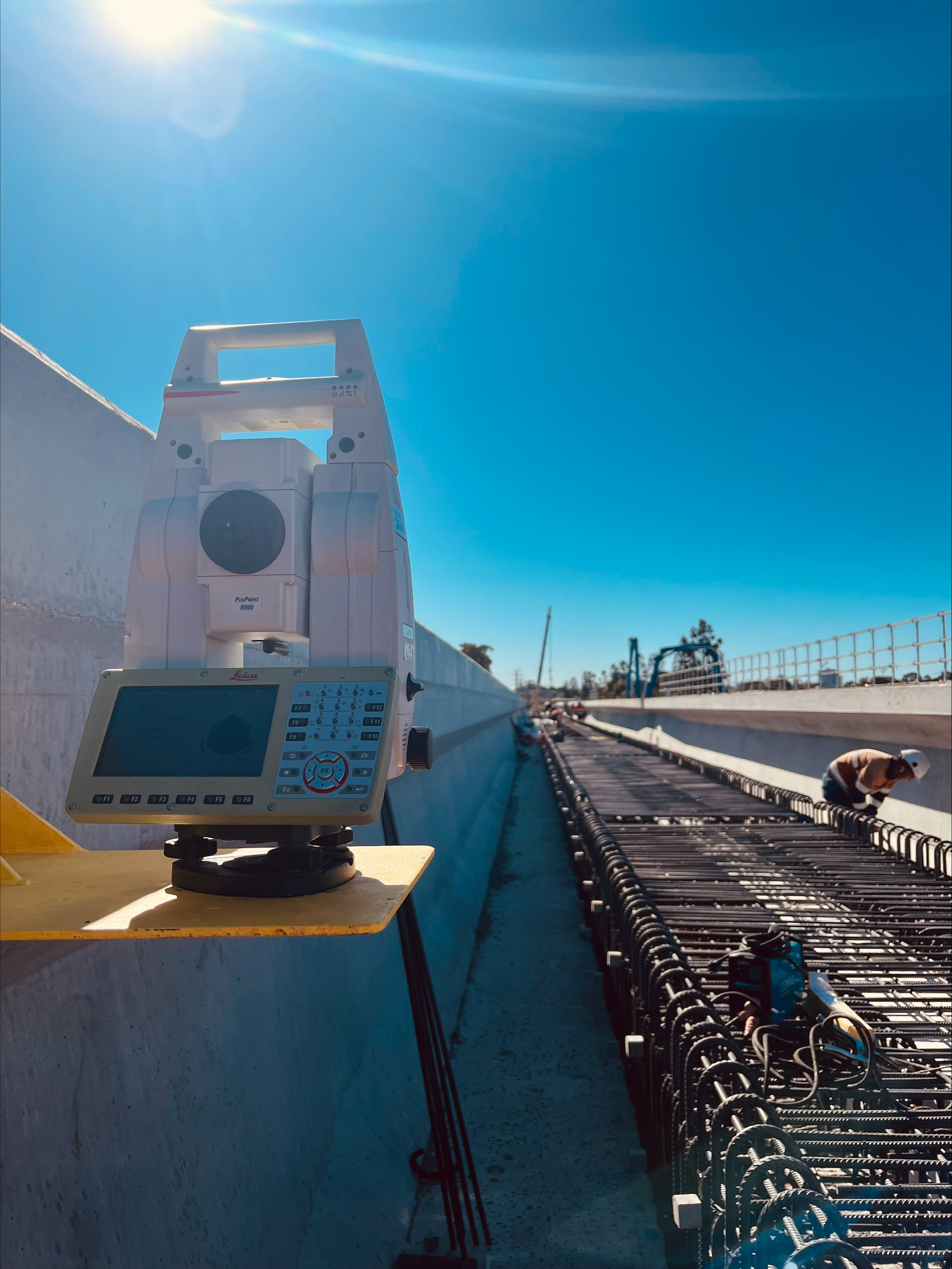
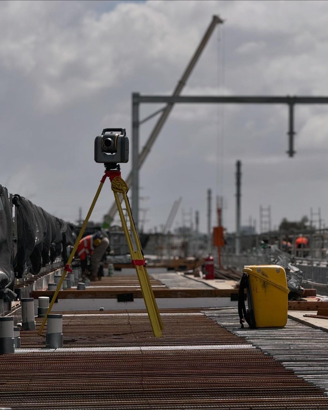
From road upgrades and subdivisions to bridges, pipelines, and rail projects, HR Surveyors offers the expertise required for your civil construction needs. Our services include control network setup, on-site set out and pickups, volume calculations, 3D modeling, and final as-built surveys. Whether you need a dedicated team of surveyors to manage your project or a one-time visit to set up, we deliver the same high-quality, reliable service every time.
View service pageManaging major projects in urban and rural settings, including Australia's largest infrastructure and mining projects.
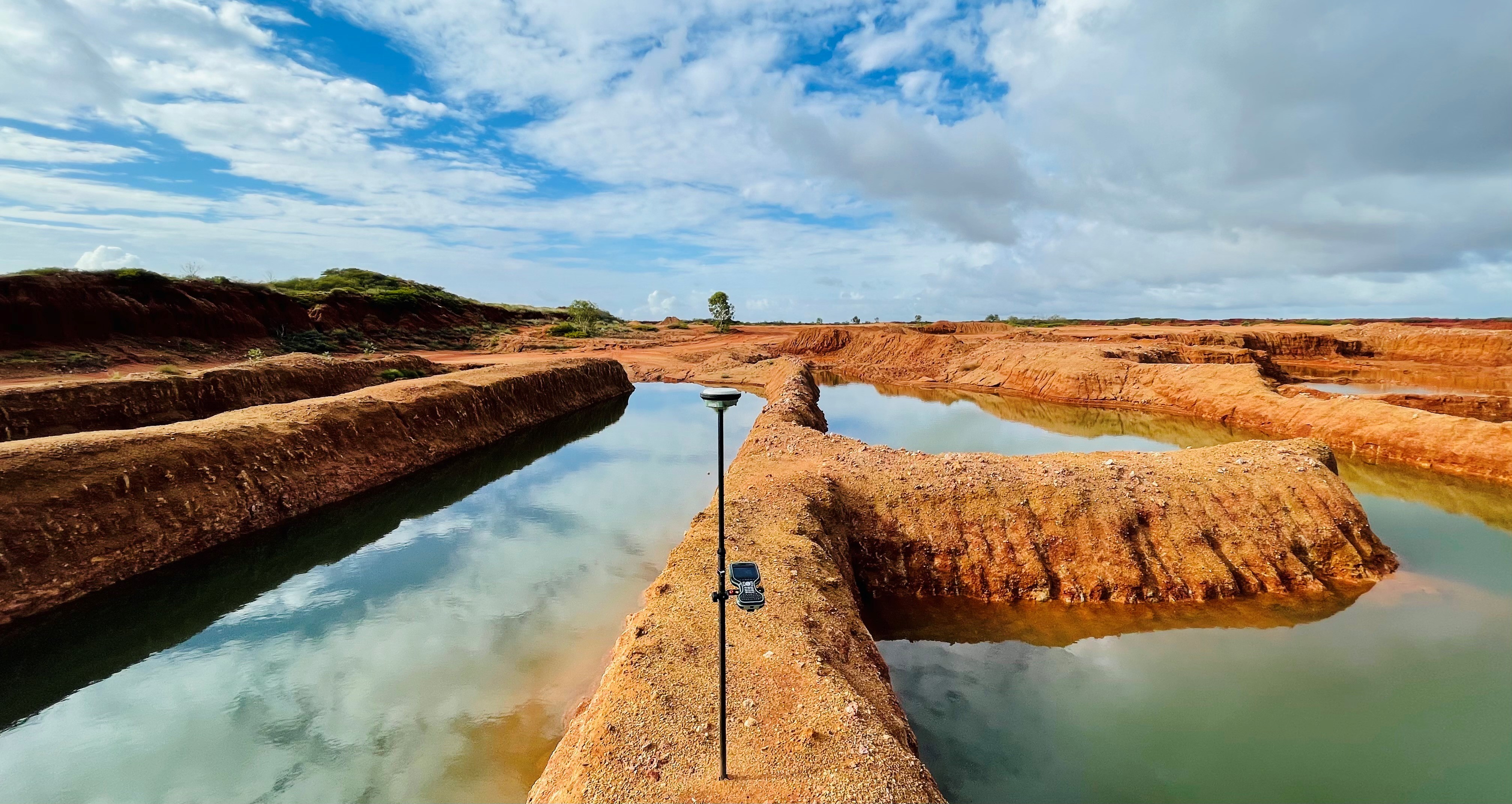
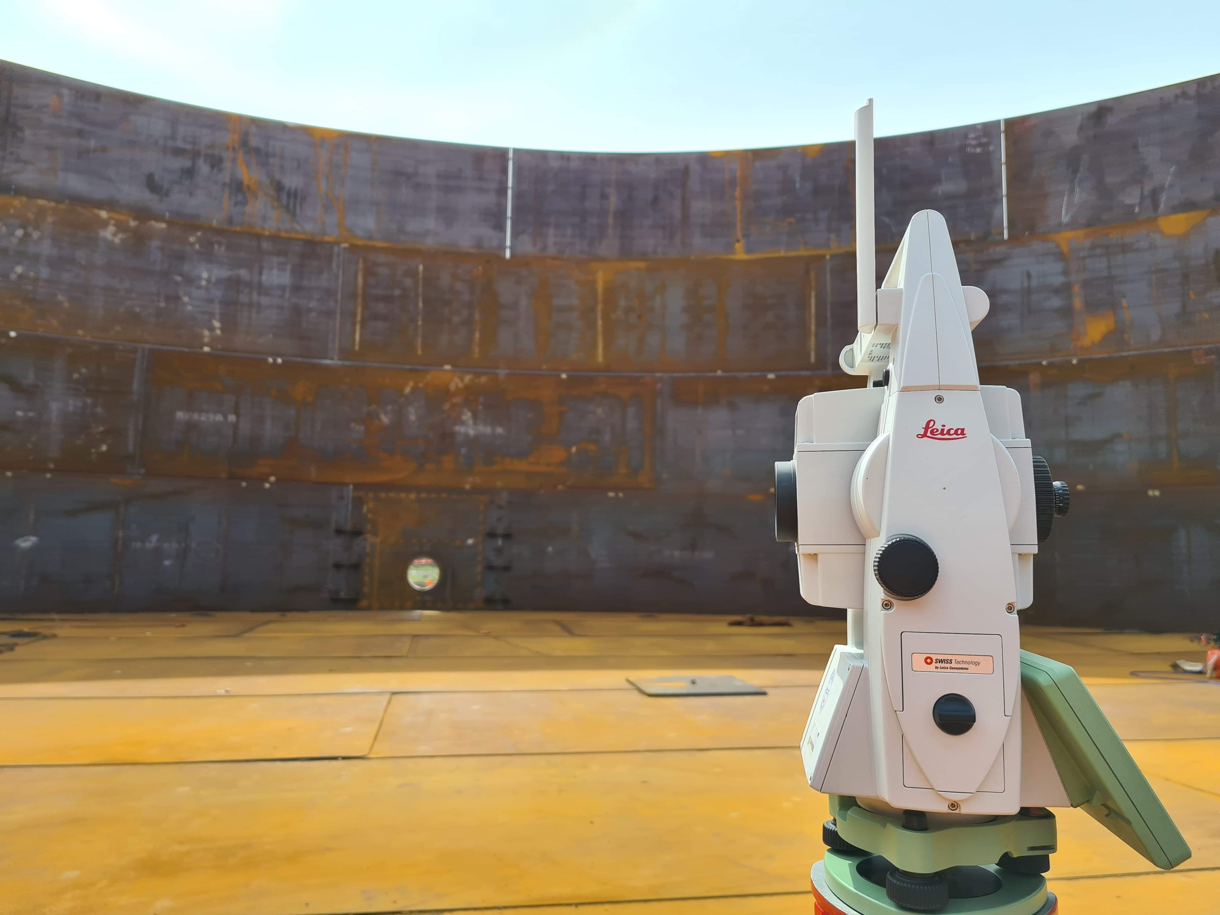
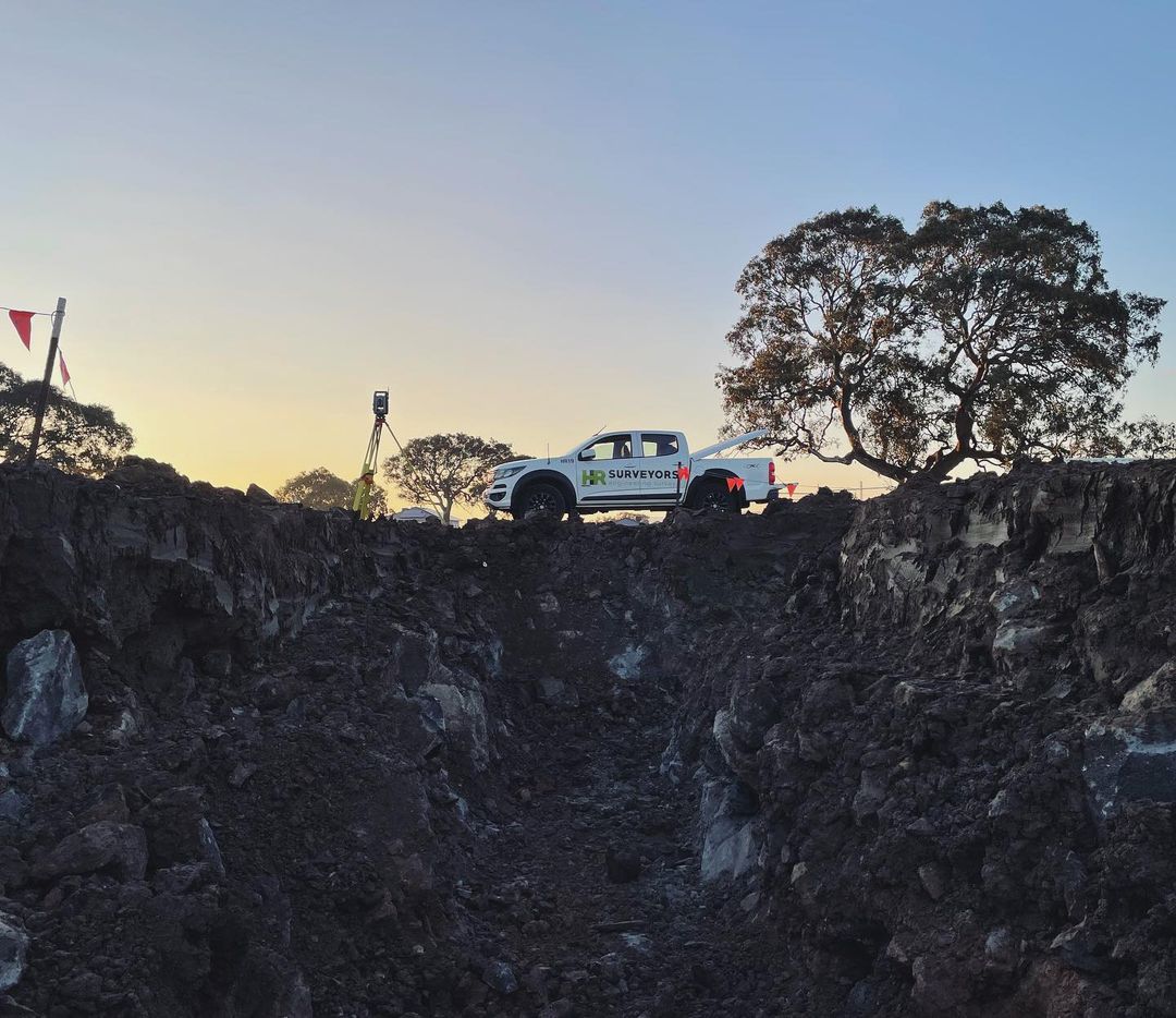
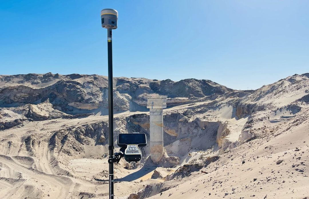
With extensive experience in some of Australia's largest infrastructure and regional mining projects, we have the systems in place to efficiently manage your major undertaking, whether in urban or rural settings. From submitting conformance reports to handling RFIs and managing data, we ensure that all records are current, facilitating seamless project execution and on-time handover. Our highly skilled surveyors offer expert advice and reliable service, giving you the confidence you need throughout the entire project lifecycle.
View service pageComprehensive surveying solutions for wind farms, solar farms, and battery storage facilities.
Our Renewable Energy Infrastructure service supports the development of wind farms, solar farms, and battery storage facilities. We provide comprehensive surveying solutions, including site feasibility studies, topographic surveys, construction set-outs, and as-built documentation. With a focus on precision and efficiency, we use advanced technology to streamline project delivery and reduce environmental impact. Whether for new projects or expansions, we ensure accurate data and professional support throughout every stage.
View service pageEssential data collection for accurate design in development projects.
A Feature and Level survey is a crucial step in the planning of any development project, whether for a new building, subdivision, or major construction endeavor. This type of survey provides essential data that forms the foundation for accurate design before construction begins. By establishing precise survey control to a local datum or MGA/AHD from the outset, we ensure continuity and adherence to standards throughout every aspect of the development process.
View service pageAdvanced 3D laser scanning for detailed digital models of structures and environments.
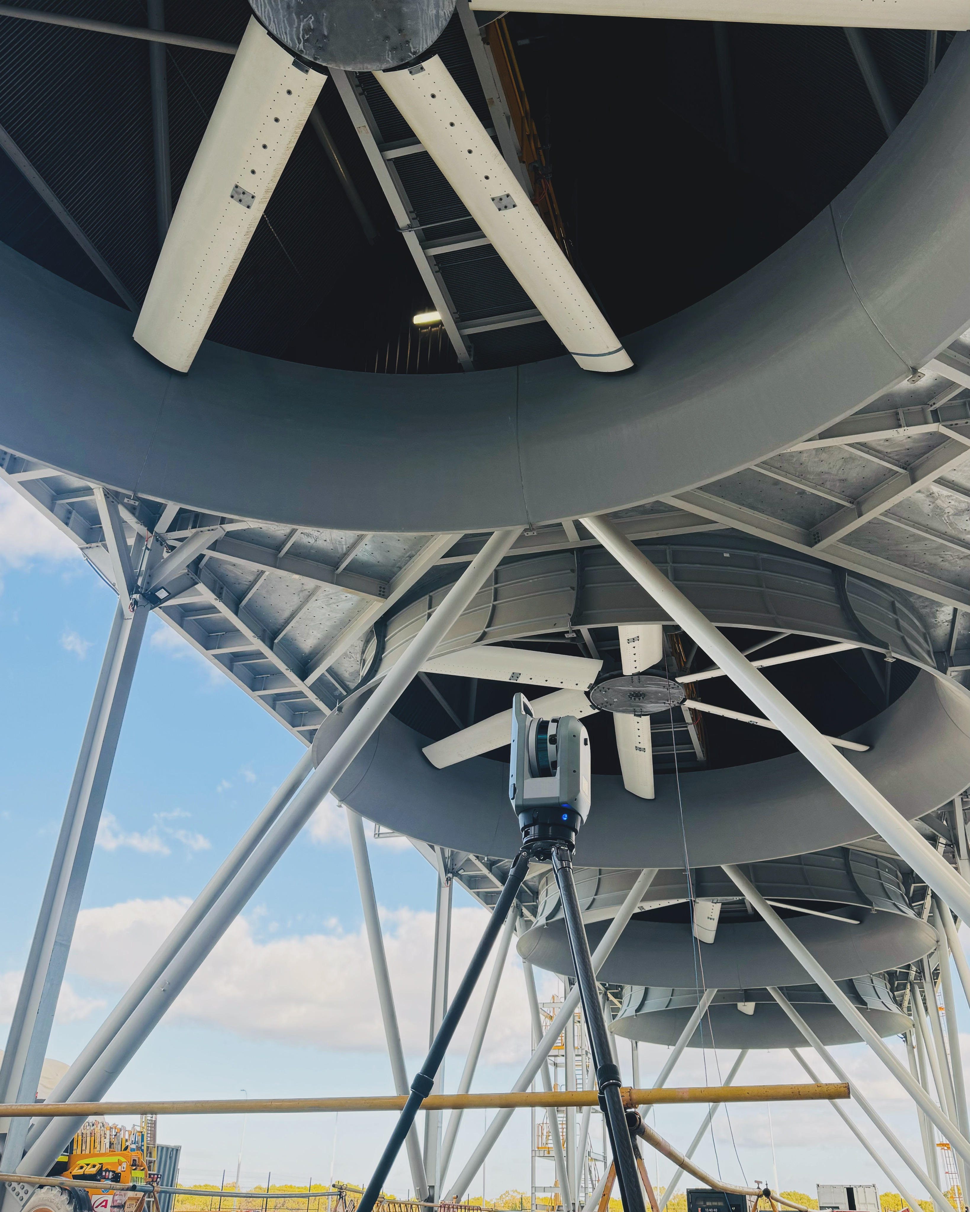
We utilize advanced 3D laser scanning technology to capture highly accurate spatial data of structures and environments. This non-invasive method generates detailed digital models, providing essential information for applications in architecture, construction, and heritage preservation. By rapidly gathering millions of data points, our service streamlines project planning, design, and analysis. The resulting point clouds and 3D models integrate seamlessly with various software applications, enhancing collaboration and decision-making. Trust our experienced team to deliver high-quality results tailored to your project needs.
View service pageCutting-edge drone technology for aerial mapping and imagery across multiple industries.
Our UAV (Drone Survey) service utilizes cutting-edge drone technology to deliver accurate and efficient aerial mapping and imagery for various applications. This innovative approach enables us to capture high-resolution images and videos, providing essential data for informed decision-making across multiple industries. We specialize in creating detailed topographical plans, conducting stockpile volume calculations, and developing comprehensive 3D digital terrain models. Our skilled team ensures data quality and precision, facilitating informed decision-making and effective project management.
View service pageAccurate underground utility location using electromagnetic induction and Ground Penetrating Radar (GPR).
Our Utility Locating services use a combination of electromagnetic induction and Ground Penetrating Radar (GPR) to accurately locate both metallic and non-metallic underground utilities. By combining conductive, inductive, and passive locating techniques, we can quickly identify and trace utilities across large areas, even those with non-metallic lines using traceable copper rods. This approach ensures precise depth measurement without breaking ground, making it an efficient and non-invasive solution for your project needs.
Visit HR Utilities for more informationEssential mapping above and below waterline for infrastructure planning and environmental assessment.
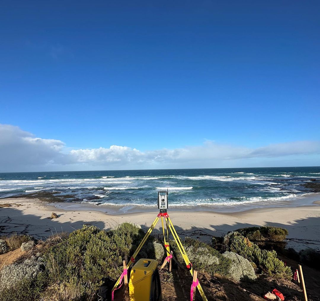
Hydrographic surveys are essential for projects located near rivers, lakes, inlets, or marine environments. At HR Surveyors, we provide detailed mapping above and below the waterline to support infrastructure planning, design, and environmental assessment. Our team uses specialised sonar technology and high-precision GNSS equipment to capture accurate bathymetric data, aligned to MGA and AHD control. These surveys are commonly used for bridge construction, dredging operations, flood modelling, and coastal projects. Deliverables include 3D surfaces, depth contours, cross sections, and CAD-ready models tailored to suit design and compliance requirements.


We've been working with HR Surveyors for over ten years, and they continue to exceed expectations. Their commitment to quality and strong communication have been key to our successful partnership.
Long-term Client
The HR Surveyors team played a crucial role on our project, providing an entire survey team for the duration. Their expertise and adaptability made a real difference in the project's success.
Long-term Client
HR Surveyors are extremely responsive and efficient. They turned around crucial survey drawings quickly, allowing us to stay ahead of schedule and avoid costly delays.
Long-term Client
Stay updated with our latest projects and team activities
Let us bring precision to your next engineering challenge.
Get in Touch →Recent search demand is strongest for these service + location combinations. Each page links directly to the team that handles the work.
Millimetre-accurate set-out, verification and monitoring across Australia.
Construction and civil survey support from HR Surveyors' Huntingdale HQ.
Feature and level surveys for development sites before design or DA.
Site control, footing/slab set-out, pickups and as-constructed surveys.
Feature and level surveys for Brisbane and SEQ development projects.
CASA-certified UAV LiDAR and photogrammetry for SEQ projects.
Set-out, monitoring and as-constructed for SA construction and infrastructure projects.
Feature, level and topographic surveys for Adelaide development sites before design or DA.
Site control, footing and slab set-out, pickups and as-built for Adelaide builders.


