The definitive total station vs GPS comparison: accuracy in millimetres, what a theodolite can and cannot do, and when to use GPS or a total station on your project. Guidance from HR Surveyors, Australia's engineering surveying specialists.
Experience the difference of working with Australia's leading surveying professionals. Precision Delivered since 2012.
Since 2012, we've delivered precision engineering surveys for Australia's most complex infrastructure projects, from high-rise developments to major civil works.
With 5 strategic office locations and 70+ qualified professionals, we provide comprehensive engineering surveying services across all major Australian markets.
Advanced 3D scanning, UAV LiDAR, and real-time GPS systems ensure millimetre accuracy for your engineering projects, reducing risks and delays.
The choice between a total station and GPS (GNSS) comes down to one question: what accuracy does the job need, and can the site deliver satellite signals? Total stations measure angles and distances by line of sight to millimetre tolerance. RTK GPS receivers fix positions from satellites with centimetre-level accuracy and work across open ground without targets. Most HR Surveyors projects use both: GPS to establish control and cover large areas, total stations to set out and measure the detail. This guide compares the two, including accuracy figures in millimetres, how theodolites fit in, and when to use each on your site.
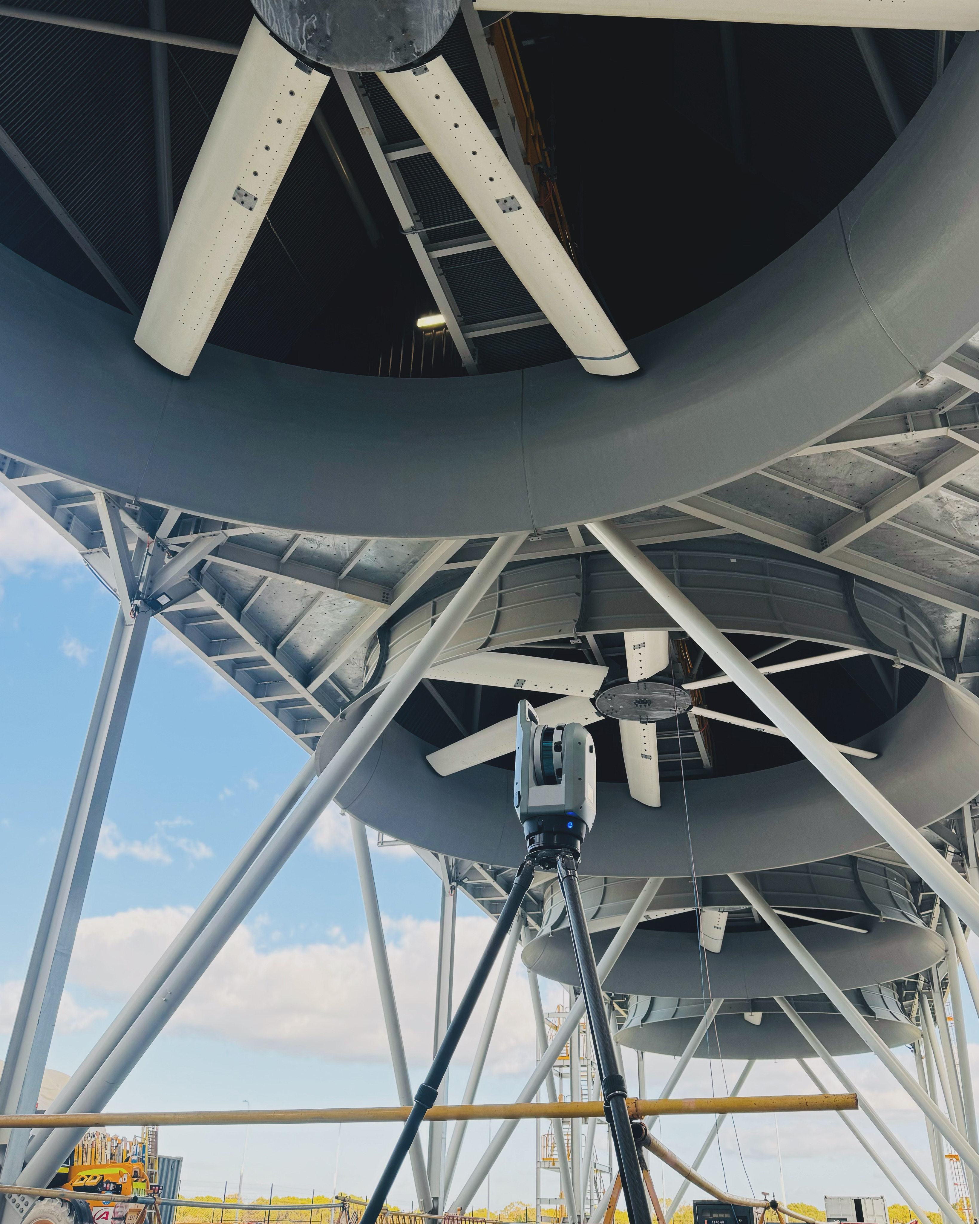
A total station combines an electronic theodolite with an EDM (electronic distance meter). It measures angle and distance to a prism or reflectorless surface by line of sight, then computes coordinates on the instrument. GPS (GNSS) receivers fix positions from satellite signals, with RTK corrections from a base or CORS network, and need no target or line of sight between setups.
A total station typically measures to ±1-2mm plus 2ppm (2mm per kilometre), the standard for construction set-out. RTK GNSS delivers ±8-15mm horizontal accuracy, sufficient for earthworks, machine control and broad-scale mapping. Both are tied to GDA2020/MGA2020 horizontal and AHD vertical datums on our projects.
Total stations win in built-up areas, tunnels and under tree cover where satellite signals drop out, and wherever millimetre tolerance is specified. GPS wins on large open sites where speed and coverage matter more than the last few millimetres. The two are complementary: GPS establishes the framework, the total station fills in the detail.
Accuracy is where the two tools diverge most. The table below shows standard manufacturer specifications; real-world results depend on setup quality, site conditions and how the survey is tied to control.
| Specification | Total Station | GPS (RTK GNSS) |
|---|---|---|
| Horizontal accuracy | ±1-2mm + 2ppm EDM | ±8-15mm + 1ppm |
| Vertical accuracy | Error tracks the distance spec over short sight lengths | Typically ±15-30mm, two to three times the horizontal figure |
| Range | Line of sight, up to several kilometres with prisms | Limited only by sky view; corrections via CORS or base |
| Tie to datum | Traverse from control, GDA2020/MGA2020 and AHD | Direct satellite fix, GDA2020/MGA2020 |
Total station. Footings, columns, services and structure are set to design tolerances in millimetres.
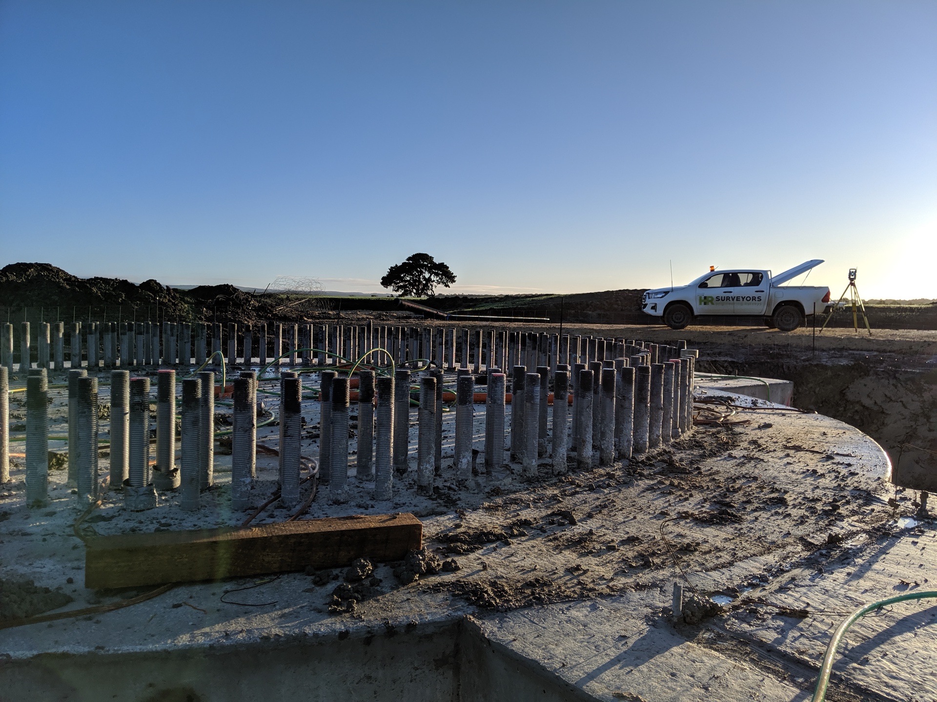
GPS. GNSS drives machine control and batters across large cut-and-fill sites at ±8-15mm.
GPS. Rapid coverage of open stockpiles keeps re-measurement affordable.
Total station. No satellite signal reaches below ground, so line-of-sight measurement is the only option.
GPS first, total station after. GNSS fixes control over wide areas; total stations densify it locally.
Total station for close-range checks; GNSS where continuous monitoring points are needed.
A theodolite measures horizontal and vertical angles only. Distances are measured separately, with a tape or by staged traversing, and reduced by hand or in software. It is a manual angle-measuring instrument with no electronic distance measurement, which is why fieldwork with a theodolite is slow and error-prone by modern standards.
A total station is the theodolite's electronic successor: the same angle measurement, but with an EDM built in, so angle and distance are captured in one shot and coordinates are computed automatically. If an old specification says "theodolite", the instrument on site is almost certainly a modern total station. Our complete guide to total station technology breaks down the instrument and its parts.
Site conditions decide. Four factors — sky view, tree cover, tunnels or structures, and the accuracy the design requires — usually settle the question before the first instrument is set up.
Most engineering surveys combine both. For RTK-specific comparisons, see our RTK vs Total Station guide; for the GNSS side of the comparison, see our Total Stations vs GNSS article.
Total station ±1-2mm + 2ppm EDM; RTK GNSS ±8-15mm horizontal
Robotic total stations, EDM prisms, RTK GNSS receivers with CORS corrections
GDA2020/MGA2020 horizontal, AHD vertical (AUSGeoid2020), ISO 9001 quality system
At close range a total station is the more accurate instrument, typically ±1-2mm plus 2ppm EDM. RTK GNSS achieves ±8-15mm horizontal accuracy. For construction set-out and anything with millimetre design tolerances, a total station is the right tool; for earthworks and large open sites, GPS accuracy is sufficient and far faster.
Most modern total stations specify ±1-2mm plus 2ppm (2mm per kilometre of measured distance) on prism measurements. A 100m sight is therefore good to roughly 1-2mm. Reflectorless measurements are typically less precise than prism shots.
A total station. Set-out tolerances for footings, columns and services are typically a few millimetres, which is beyond RTK GNSS capability. Most crews set out with a total station from GNSS-established control points.
Yes, on most projects. GPS (RTK GNSS) establishes control and covers large open areas quickly, then total stations measure the detail, set out structures and work where satellite signals cannot reach. The two technologies complement each other rather than compete.
A theodolite measures horizontal and vertical angles only, with distances measured separately. A total station combines the electronic theodolite with an EDM, capturing angle and distance in one setup and computing coordinates automatically. Modern crews use total stations, not manual theodolites.
GPS receivers need a clear view of satellites. Dense tree cover attenuates the signal, and tunnels and basements block it entirely. In those conditions a total station, which measures by line of sight, is the only reliable option.
Cost follows field hours. GPS is cheaper on large open sites where it replaces long traverses, but RTK depends on correction services such as CORS networks. Total stations have no recurring data cost but take longer to cover ground. Most projects are priced on the accuracy the design needs, not the instrument itself.
Every HR Surveyors engineering project is delivered with total stations, RTK GNSS or both. Total station survey services include construction set-out, detail and topographic surveys, deformation monitoring and as-constructed documentation, all tied to GDA2020/MGA2020 and AHD control. Talk to our engineering surveying team about the right approach for your site.
Explore our portfolio of successful projects demonstrating our expertise and precision delivery across diverse challenges.


Includes Beckenham, Carlisle, Queens Park, Cannington, and Oats Street Stations


Ready to see your project delivered with the same precision and expertise?
Start Your ProjectOur surveying specialists analyze the fundamental differences between Total Station and GPS equipment to recommend the optimal technology for your project requirements. Get expert guidance on equipment selection based on accuracy, efficiency, and application needs.