Surveying support for WA mining construction and resources infrastructure. HR Surveyors provides project control, set-out, pickups, drone volumetrics, road and pad surveys, conformance records and as-built documentation from our Perth office.
Experience the difference of working with Australia's leading surveying professionals. Precision Delivered since 2012.
Trusted by Australia's largest construction firms and government agencies for major infrastructure projects requiring the highest standards of precision and compliance.
From single-visit setups to dedicated project teams, we scale our 70+ professional workforce to match your project requirements perfectly.
Advanced data management, real-time reporting, and seamless integration with major construction management platforms for efficient project delivery.
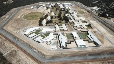
Mining construction needs survey teams that can work across large sites, changing ground conditions and strict project controls. HR Surveyors supports Western Australian mining and resources projects with construction set-out, control networks, access road surveys, stockpile and volumetric surveys, drone mapping, compliance pickups and as-built documentation. Our West Leederville office provides Perth-based project coordination with the ability to mobilise for regional and remote WA works.
Survey control and set-out for pads, access roads, drainage, services corridors, foundations, laydown areas and support infrastructure. We help contractors translate design data into buildable field marks and verify works as they progress.
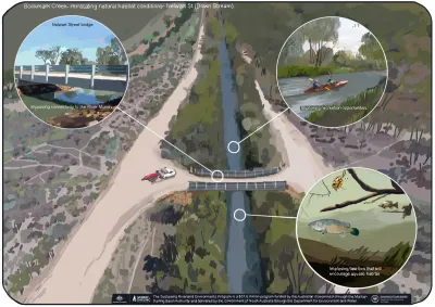
UAV surveys capture stockpiles, earthworks progress, pit interfaces and large-area terrain quickly. Drone data can be combined with ground control and traditional survey checks for reliable volume reporting and project records.
Mining and resources projects depend on accurate handover documentation. We provide pickup surveys, conformance support, as-built data and survey records that support RFIs, quality checks and asset owner requirements.
Project-specific construction and volumetric accuracy with survey control checks throughout the work
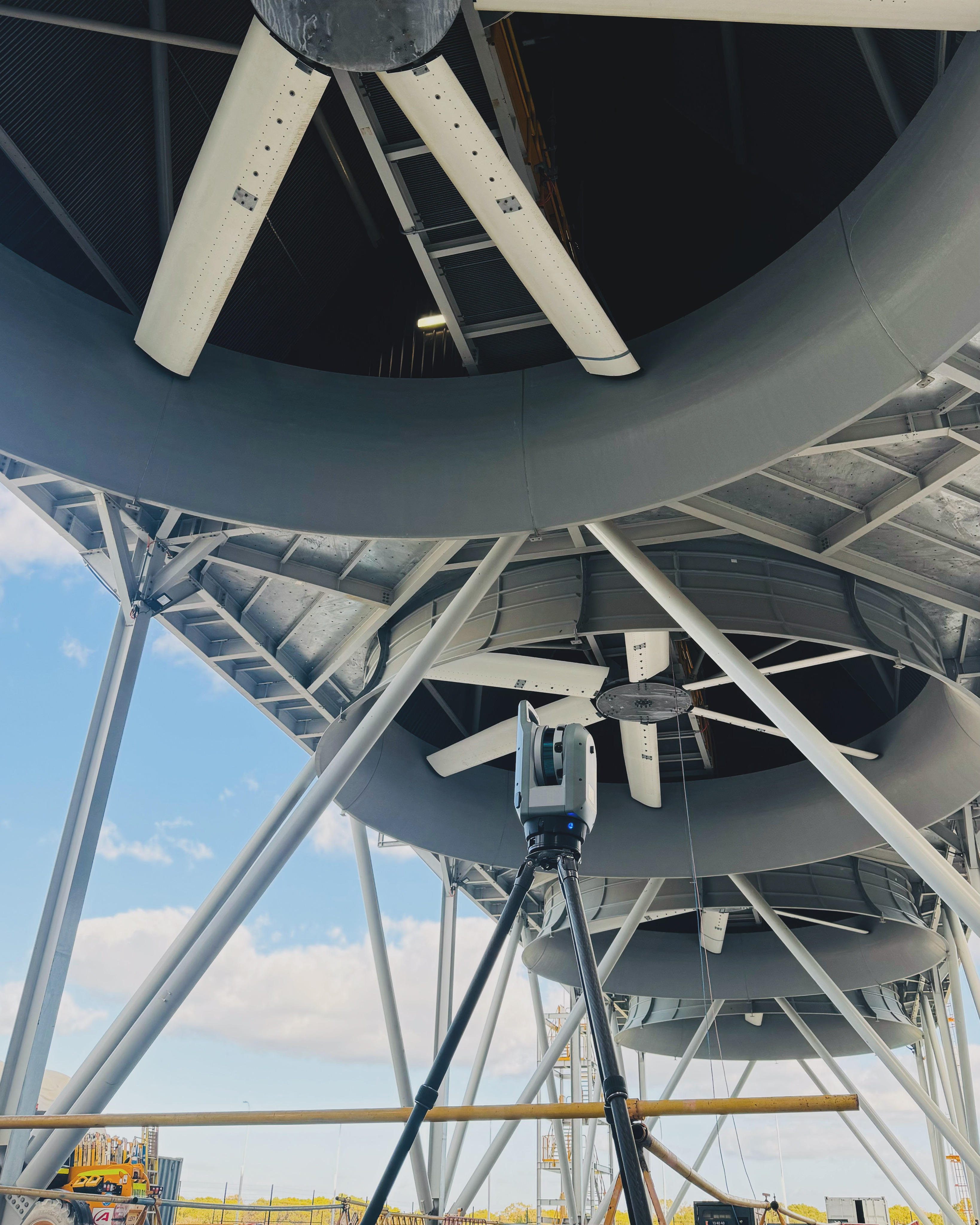
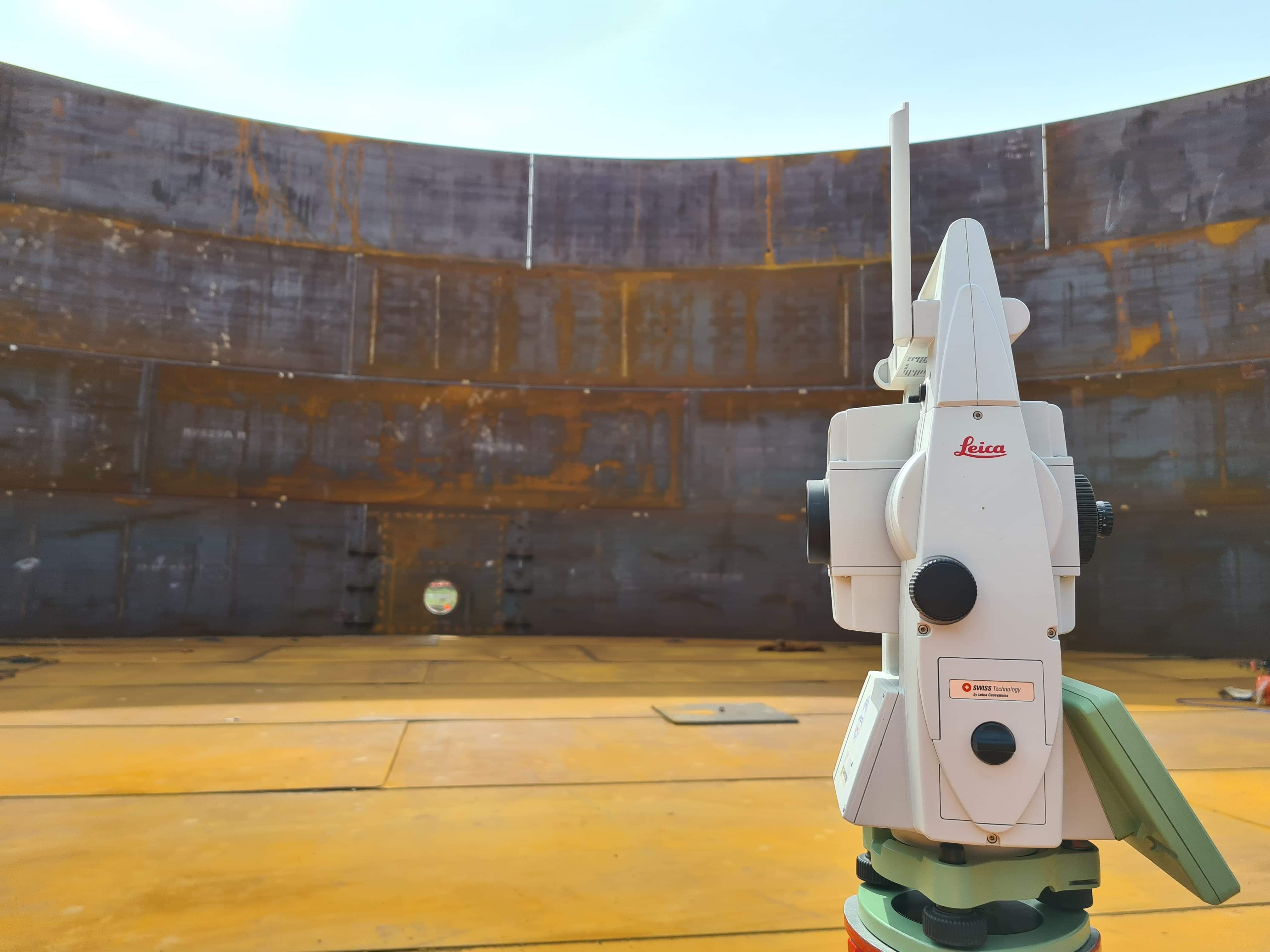
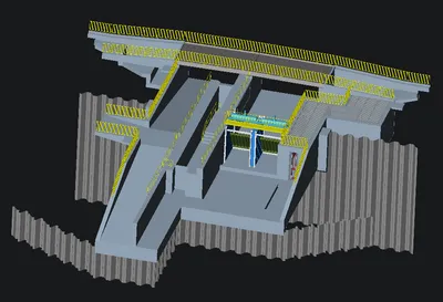
Leica total stations, RTK GNSS, UAV photogrammetry, drone LiDAR and 3D modelling workflows
ISO 9001 quality processes, project ITP requirements and asset-owner documentation standards
We provide control networks, set-out, pickups, access road surveys, pad and foundation surveys, drainage surveys, stockpile volumetrics, drone mapping, conformance records and final as-built documentation for mining and resources infrastructure projects.
Yes. Drone surveys are well suited to stockpile and earthworks volume calculations because they capture large areas quickly and safely. We use survey control and verification checks so the outputs are suitable for reconciliation and reporting.
Yes. Our West Leederville office coordinates Perth metro work and regional WA mobilisation. We support regional and remote projects where survey crews, drone capture and data processing need to fit mining construction programs.
Explore our portfolio of successful projects demonstrating our expertise and precision delivery across diverse challenges.


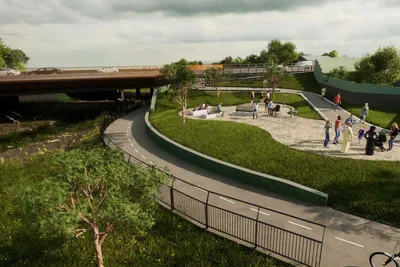
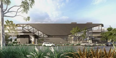
Includes Beckenham, Carlisle, Queens Park, Cannington, and Oats Street Stations


Ready to see your project delivered with the same precision and expertise?
Start Your ProjectDiscover complementary surveying services often combined with this solution for comprehensive project delivery.
Drone LiDAR, aerial mapping and volumetric surveys for construction, mining and infrastructure projects.
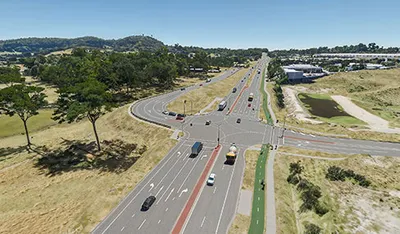
Road and corridor surveys for access roads, civil infrastructure and WA project handover.
Professional-grade survey delivery for major infrastructure and resources projects.
Many clients choose to combine multiple surveying services for comprehensive project coverage and enhanced value delivery.
Join thousands of satisfied clients who trust HR Surveyors for their most important projects. Get your free consultation today and discover why we're Australia's leading surveying professionals.