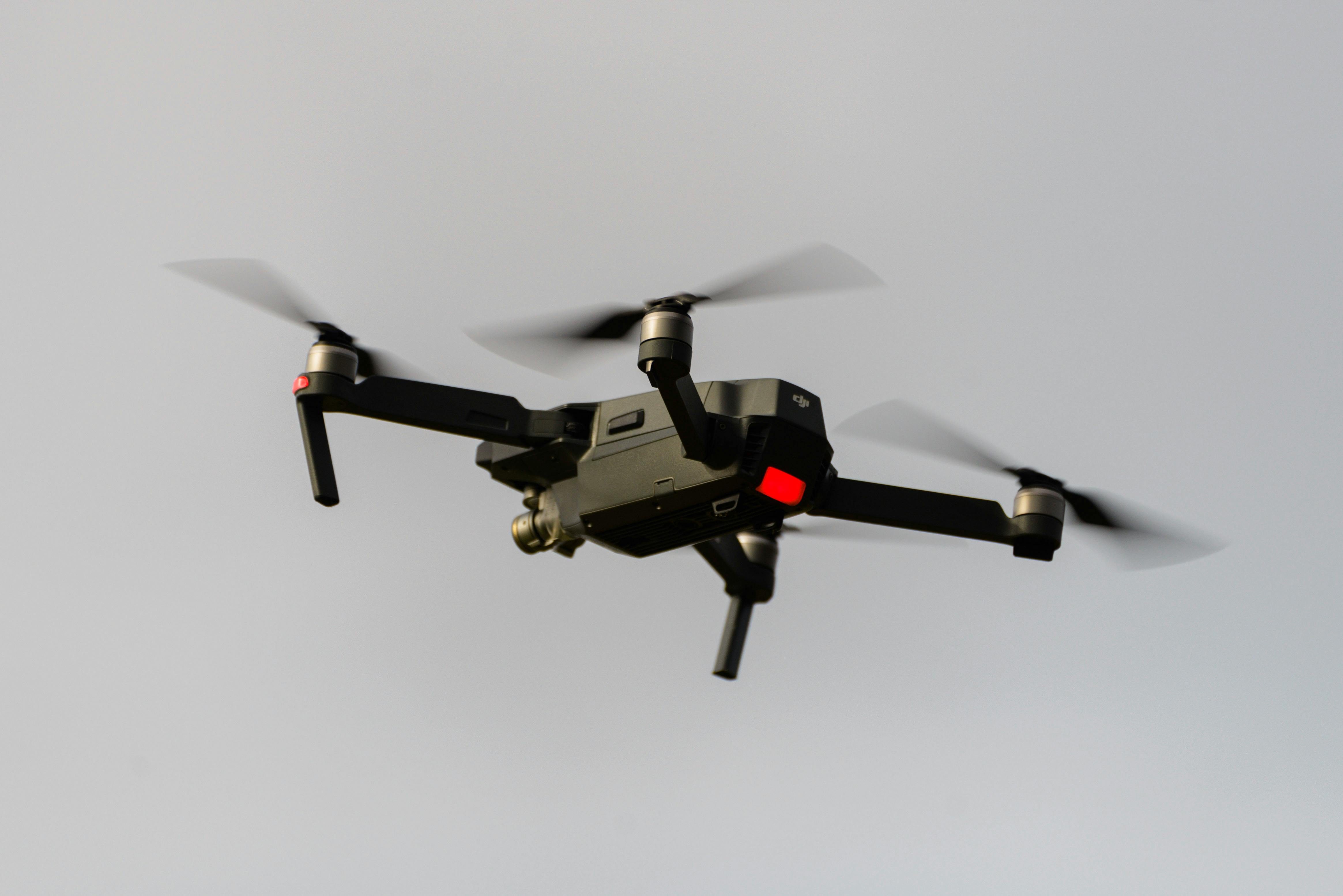
CASA-certified drone surveying for Melbourne and Victoria, flown and processed by licensed surveyors. We deliver aerial LiDAR, photogrammetry and topographic data for construction monitoring, stockpiles, land development and infrastructure — from the CBD to growth corridors and regional VIC.
Experience the difference of working with Australia's leading surveying professionals. Precision Delivered since 2012.
Pioneering drone surveying in Australia with advanced LiDAR and photogrammetry capabilities for rapid, accurate data collection across any terrain.
Access challenging or dangerous sites safely with our certified drone pilots and advanced UAV fleet, delivering data where traditional methods can't reach.
State-of-the-art drone LiDAR, high-resolution cameras, and real-time processing delivering detailed topographic maps, 3D models, and volumetric analysis.
HR Surveyors provides professional drone surveying across Melbourne and Victoria from our Huntingdale headquarters. Every flight is a commercial CASA operation flown and processed by licensed surveyors, so the data you get back is survey-grade, council-ready and tied to the correct Victorian datum — not a pretty picture with a pretty price. That combination is what separates drone surveying from drone photography: the outputs are coordinates, volumes and models that engineering and construction teams can build from.
Not sure whether a drone survey is right for your site? Start with our complete drone surveying guide, which covers when to fly, when to use ground survey instead, and how the two combine. For a look at the full national service, see our drone surveying services page.
Address
12 Distribution Circuit, Huntingdale, VIC 3166
Service Areas
Melbourne Metro, Eastern Victoria, Geelong region
Regular progress flights for Melbourne construction sites — from high-rise in the CBD, Southbank and Docklands to suburban developments in the growth corridors. Orthomosaics, cut/fill volumes and progress reports on a fixed flight schedule, integrated with our traditional set-out and as-built surveys.
Drone photogrammetry and LiDAR for stockpiles, quarries and bulk earthworks across Victoria. Volumes calculated to the nearest cubic metre from flight data, checked against ground control, and delivered in the format your project uses.
Topographic mapping for subdivision and land development — feature, levels, contours and imagery captured in a single flight. We deliver design-ready terrain data for sites from inner-city infill to greenfield releases in Casey, Cardinia, Whittlesea and Hume.
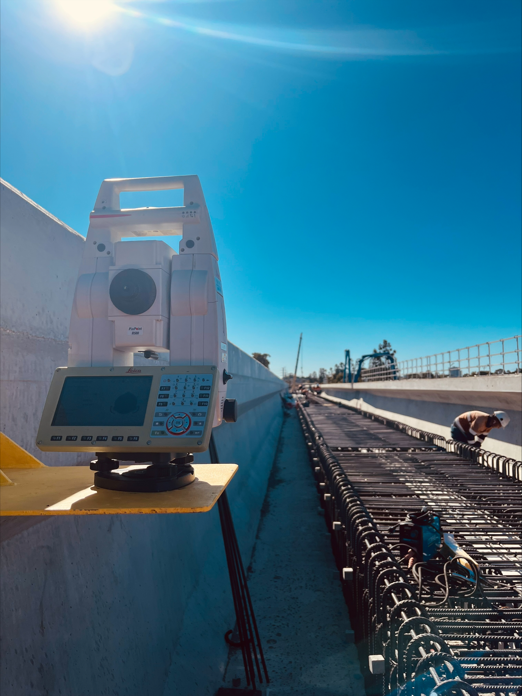
Aerial mapping for infrastructure projects including road upgrades, rail corridors and drainage works. Our surveyors ensure data meets VicRoads (now DTP) and project authority requirements, and we pair drone capture with total station control where precision matters.
Our Huntingdale base puts us within an hour of most of metro Melbourne, and we regularly mobilise to Geelong, the Peninsula and regional VIC. For the full picture of our Melbourne operations, see our Melbourne surveyors page.
10-30 mm with RTK/PPK, ground control and independent check points
Professional UAV platforms, LiDAR sensors, high-resolution cameras
CASA ReOC 5661, Professional Surveyors Victoria, MGA2020/AHD71 datum
Every drone survey we run in Melbourne operates under our CASA ReOC 5661. That means each flight is covered by an approved operations manual, with credentialed pilots, maintained aircraft and proper risk assessments — the legal baseline for commercial drone work in Australia.
Beyond CASA, Victorian projects add layers: airspace coordination around Melbourne Airport, Essendon Fields and Moorabbin, council permits for flying over some public land, and privacy considerations over neighbouring properties. We manage these on your behalf, so your survey never stalls because of a regulatory detail.
Regulation matters for another reason: it protects the accuracy of the data. A drone flight without proper control is just imagery; our flights are tied to survey control and verified with ground check points before anything is handed over. That is why our outputs are accepted by Victorian councils, engineering consultancies and construction teams.
Explore our portfolio of successful projects demonstrating our expertise and precision delivery across diverse challenges.


Includes Beckenham, Carlisle, Queens Park, Cannington, and Oats Street Stations


Ready to see your project delivered with the same precision and expertise?
Start Your ProjectDiscover complementary surveying services often combined with this solution for comprehensive project delivery.
National drone surveying services with Melbourne-based team serving Victoria and regional projects.
LiDAR surveying services available across Melbourne and Victoria for vegetation penetration and terrain analysis.
Melbourne construction monitoring services for high-rise developments and infrastructure projects.
Many clients choose to combine multiple surveying services for comprehensive project coverage and enhanced value delivery.
From CBD high-rise monitoring to growth-corridor land development, our Huntingdale-based team delivers CASA-certified drone surveys backed by licensed surveyors. For projects outside Victoria, our Perth, Brisbane and Adelaide teams cover the rest of the country — see all office locations.
Get a Melbourne Drone Survey Quote