Perth's leading drone surveying service for mining and construction. Our CASA-certified UAV operations deliver LiDAR and aerial photogrammetry with licensed surveying expertise for stockpile volumetrics, infrastructure monitoring, and development projects across Western Australia from our West Leederville office.
Experience the difference of working with Australia's leading surveying professionals. Precision Delivered since 2012.
Pioneering drone surveying in Australia with advanced LiDAR and photogrammetry capabilities for rapid, accurate data collection across any terrain.
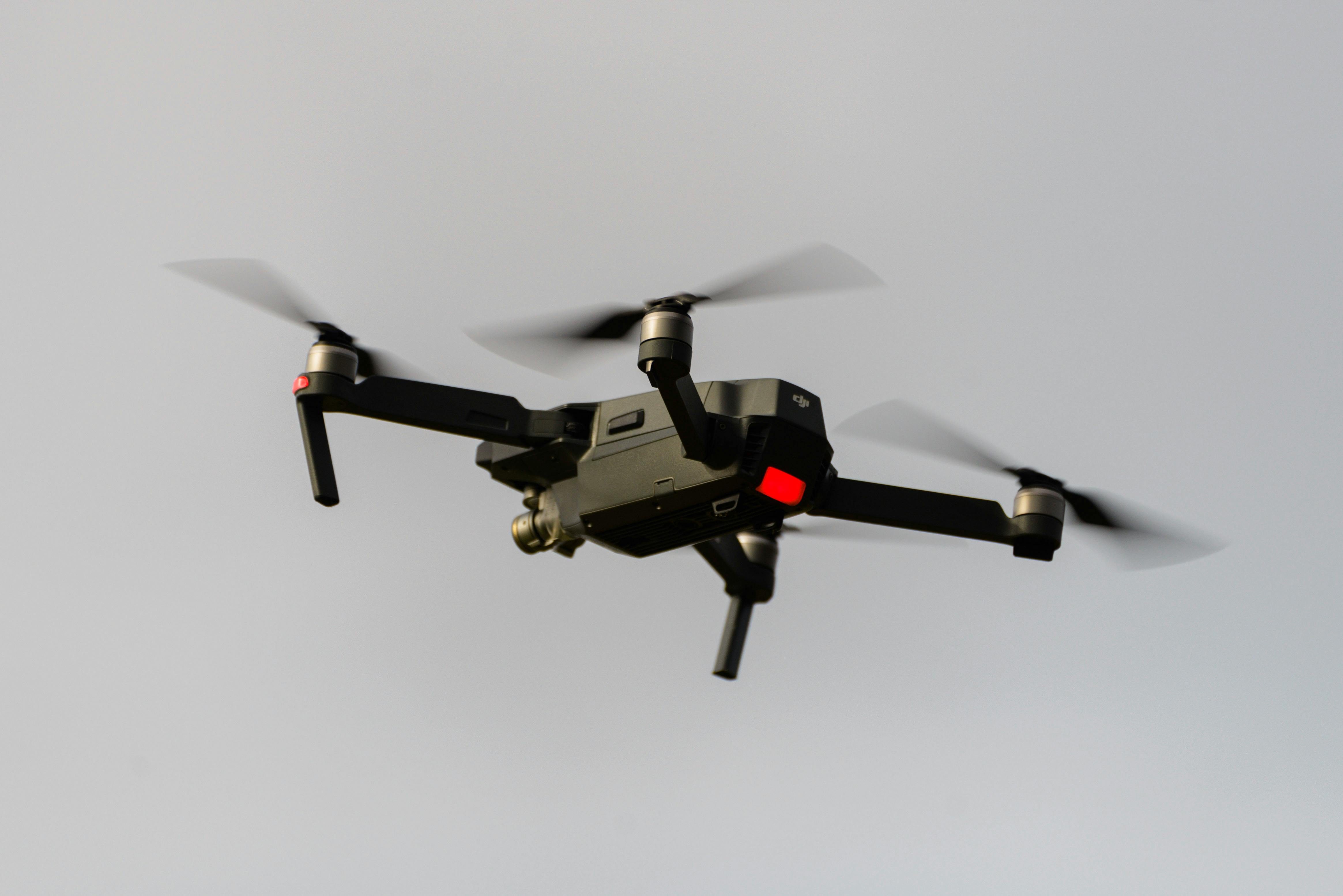
Access challenging or dangerous sites safely with our certified drone pilots and advanced UAV fleet, delivering data where traditional methods can't reach.
State-of-the-art drone LiDAR, high-resolution cameras, and real-time processing delivering detailed topographic maps, 3D models, and volumetric analysis.
HR Surveyors provides professional drone surveying services throughout Perth and Western Australia from our West Leederville office. Our team combines CASA-certified UAV operations with licensed surveying expertise to deliver survey-grade aerial data for mining stockpile surveys, construction projects, and infrastructure works across the Perth metro area and regional WA, including FIFO operations support.
New to aerial capture? Our drone survey guide explains how drone surveying works, what it costs and the accuracy you can expect before you commission a project.
Address
1/435 Vincent Street West, West Leederville, WA 6007
Service Areas
Perth Metro, Regional WA, FIFO mining support
Rapid stockpile volume calculations for Western Australian mining operations. Our drone LiDAR surveys deliver accurate volumetric data for pit progression, reconciliation, and material management across Pilbara, Goldfields, and regional mining sites.
Aerial surveying for Perth infrastructure projects including METRONET rail projects, main roads upgrades, and level crossing removals. Our professional surveyors ensure data meets Main Roads WA and Public Transport Authority requirements.
Construction progress monitoring and earthworks quantification for Perth developments. From Perth CBD towers to suburban expansions, our drone surveys provide regular aerial documentation integrated with traditional set-out surveys.
Drone surveying is the fastest way to capture accurate, current data across Western Australia's large and often hard-to-access sites. From a Perth CBD construction block to a Pilbara mine site, our aircraft replace days of ground traversing with a single well-planned flight.
Every Perth drone survey is planned, flown and processed under professional surveyor oversight — the difference between pretty imagery and data you can build or trade stockpile volumes on. For a deeper look at how our WA team operates, see our drone surveying in Perth expertise page, and for the full service picture start with our Perth surveying office page.
Explore our portfolio of successful projects demonstrating our expertise and precision delivery across diverse challenges.


Includes Beckenham, Carlisle, Queens Park, Cannington, and Oats Street Stations


Ready to see your project delivered with the same precision and expertise?
Start Your ProjectDiscover complementary surveying services often combined with this solution for comprehensive project delivery.
National drone surveying services with Perth-based team serving Western Australia and FIFO operations.
Specialized mining surveys for Pilbara and Goldfields from Perth office with industry expertise.
CASA-certified aerial mapping for stockpile volumetrics, terrain modelling and progress monitoring on Western Australian sites.
Many clients choose to combine multiple surveying services for comprehensive project coverage and enhanced value delivery.
Cost depends on site size, terrain and deliverables. Single-block mapping jobs typically start around $800-$1,500, while mining stockpile surveys and larger infrastructure sites are quoted on scope after a free assessment. Every quote includes flight planning, data processing and a surveyor-reviewed deliverable set.
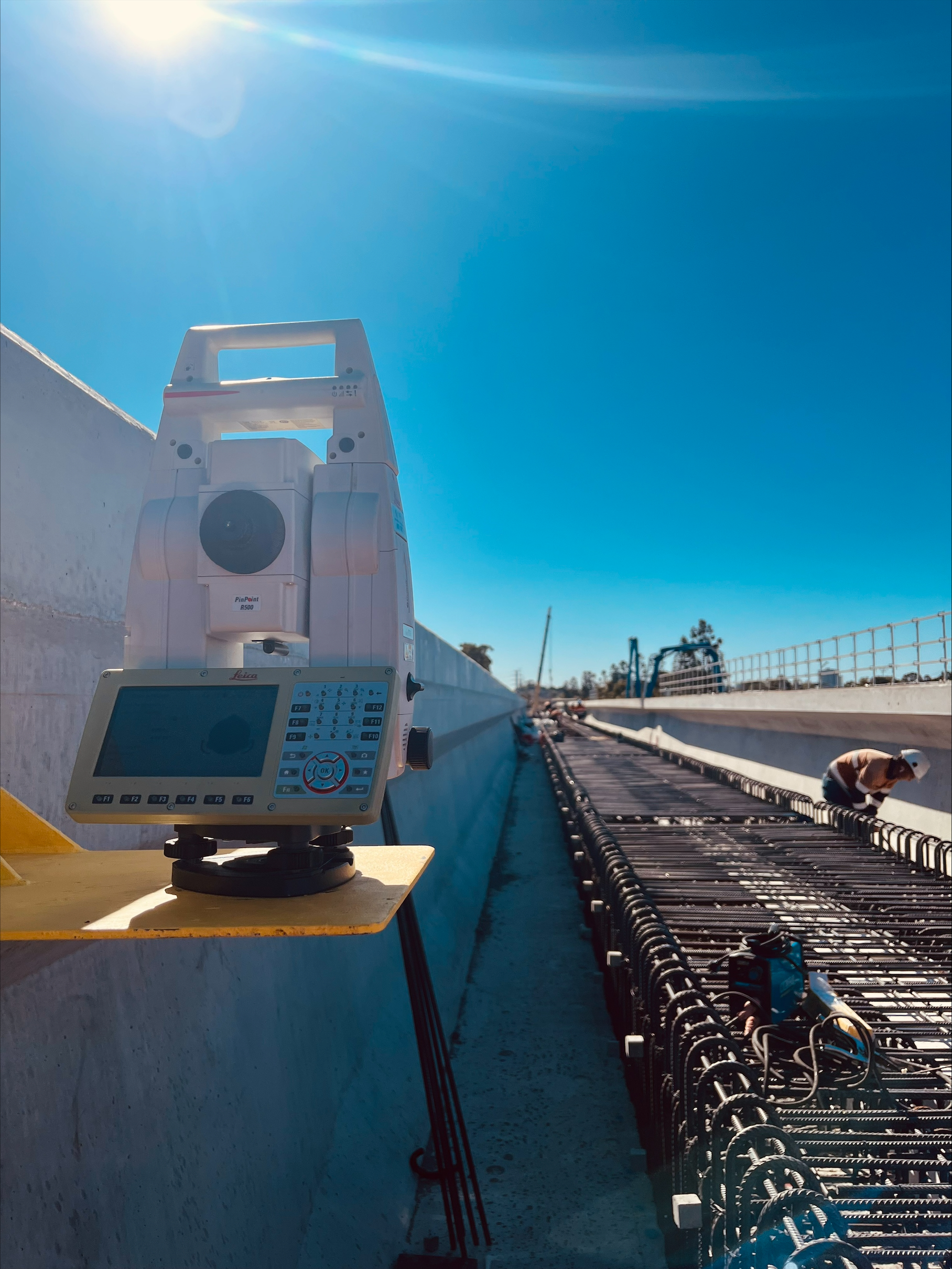
With RTK-corrected drone positioning and ground control, our surveys typically achieve horizontal accuracy of ±2-5 cm and vertical accuracy of ±3-7 cm on cleared sites. Vegetated terrain and large regional sites need additional control, and where mining or construction tolerance demands it we verify drone data with total station checks, in line with our hybrid workflow.
Yes. Our West Leederville team supports FIFO and DIDO operations across the Pilbara, Goldfields and other regional sites. Equipment travels in industry-standard cases, and we work around site inductions, weather windows and operational constraints. Regional mobilisation is quoted as part of the project, and we regularly survey sites that would be unsafe or impractical to measure on foot.
Yes. We operate under CASA ReOC 5661 with professionally qualified remote pilots. Every flight is planned against airspace restrictions, site-specific hazards and weather, and approvals are obtained before we mobilise. For mining sites, our equipment is IECEx compliant for hazardous areas.
Deliverables are matched to your project: classified point clouds, digital terrain models, contour plans, orthomosaics and volumetric reports, delivered in LAZ, DXF, DWG, PDF and KML. Data is tied to GDA2020 and survey control, ready for CAD, GIS and machine control.
We cover the Perth metro area including the CBD, Kwinana, Joondalup and Rockingham, plus regional Western Australia from our Perth office in West Leederville. For the full picture of where our WA team works, see our Western Australia coverage page.
Get professional drone surveys for your Perth or WA project. Our West Leederville-based team combines CASA-certified UAV operations with licensed surveying expertise for mining and infrastructure.
Get Perth Drone Survey Quote