Drone Surveying Australia: Costs, Accuracy, LiDAR vs Photogrammetry
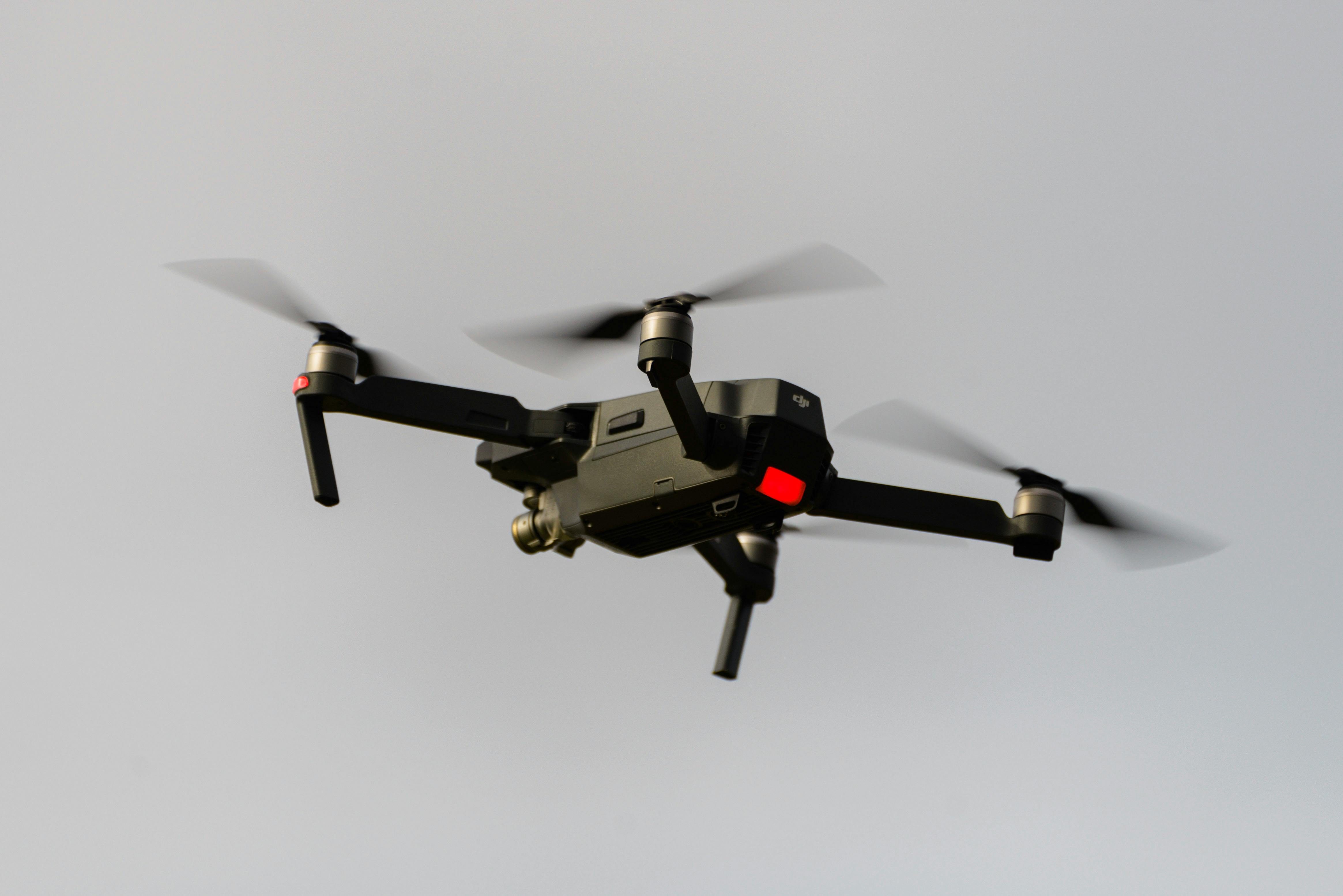
Drone surveying uses unmanned aerial vehicles (UAVs) equipped with sensors—typically RGB cameras, LiDAR, or both—to capture spatial data from the air. Surveyors process this data to produce maps, 3D models, and measurements.
The short answer: drone surveying is best when you need fast coverage across a large, open, hazardous or frequently changing site. It is not a replacement for millimetre-accurate set-out, but it is excellent for earthworks progress, stockpile volumes, topographic mapping, corridor surveys and visual documentation when controlled by professional surveyors.
How Drone Surveying Works
- Planning: Surveyors define the flight area and set ground control points (GCPs) around the site
- Flight: The drone flies a pre-programmed grid pattern, capturing overlapping images or LiDAR returns
- Data processing: Software stitches images together (photogrammetry) or processes point clouds (LiDAR) to create maps and models
- Verification: Surveyors compare drone outputs against ground control points to check accuracy
Drone surveys in Australia must comply with CASA (Civil Aviation Safety Authority) regulations. Operators need appropriate licenses and approvals for commercial work. For more on how surveyor oversight and CASA certification work together, see our guide to drone surveyor oversight and CASA regulations in Australia.
What Drone Surveying Costs in Australia
Costs vary based on site size, sensor type, and access:
| Factor | Typical Range |
|---|---|
| Small site (<5ha) | $500–$1,500 per survey |
| Medium site (5–50ha) | $1,500–$5,000 per survey |
| Large site (>50ha) | $5,000+ per survey |
| LiDAR add-on | +30–50% on top of photogrammetry |
| Rush processing | +20–40% |
Ongoing projects (monthly progress surveys) typically cost 20–40% less per survey than one-off surveys because setup costs spread across multiple flights.
When to Use Drone Surveying
Use drones when:
- You need to survey large or inaccessible areas quickly
- Sites have hazardous terrain (steep slopes, unstable ground)
- Regular progress monitoring is required (monthly earthworks tracking)
- You need aerial imagery alongside measurements
- Vegetation prevents ground-based GPS reception (LiDAR penetrates canopy)
Use traditional methods when:
- Millimeter-level accuracy is required (boundary surveys, setout)
- Areas are small or confined (indoor spaces, urban lots with obstructions)
- Work occurs under dense canopy without LiDAR capability
- You need real-time measurements during active construction
LiDAR vs Photogrammetry: Which Drone Survey Is Better?
Neither method is automatically better. The right choice depends on the site.
| Method | Best for | Watch-outs |
|---|---|---|
| Photogrammetry | Open construction sites, stockpiles, progress mapping, orthomosaics | Needs visible ground and strong image overlap |
| Drone LiDAR | Vegetation, rough terrain, corridors, mining and infrastructure sites | Higher processing cost and specialist QA |
| Hybrid drone + ground survey | Construction, civil and infrastructure projects where aerial context and set-out accuracy both matter | Needs survey control planned before capture |
For project teams, the decision is usually practical: photogrammetry is efficient for clear ground; LiDAR is stronger where vegetation or terrain hides the surface; ground survey remains essential where the tolerance is measured in millimetres.
Common Australian Applications
Construction & Development
- Monthly earthworks volume calculations
- Progress photography and documentation
- As-built surveys for handover
For a closer look at how drones support active construction sites, see our guide to drone surveys for construction sites.
Mining & Resources
- Stockpile volume measurements
- Pit progression monitoring
- Rehabilitation progress tracking
Infrastructure
- Road and rail corridor mapping
- Pipeline route surveys
- Bridge and structure inspection
For commercial services, see drone surveying services, mining construction surveys WA and road alignment surveys WA.
Accuracy: What to Expect
Drone photogrammetry typically achieves 2–5cm horizontal accuracy and 5–10cm vertical accuracy with proper ground control. LiDAR improves vertical accuracy to 1–3cm and can capture ground points beneath vegetation.
For comparison, total station surveys achieve 1–2mm accuracy but only for points the operator can see directly. GNSS surveys achieve 1–3cm accuracy in open areas but struggle under canopy or near structures.
FAQ Schema
Ready to discuss your project? Contact HR Surveyors for a drone surveying quote.
Photo credit: Photo by Bryce Carithers on Pexels