Adelaide's professional drone surveying team with CASA-certified UAV operations and licensed surveyors. We deliver aerial mapping, LiDAR surveys, and construction monitoring across Adelaide metropolitan area and regional South Australia from our Edinburgh North office.
Experience the difference of working with Australia's leading surveying professionals. Precision Delivered since 2012.
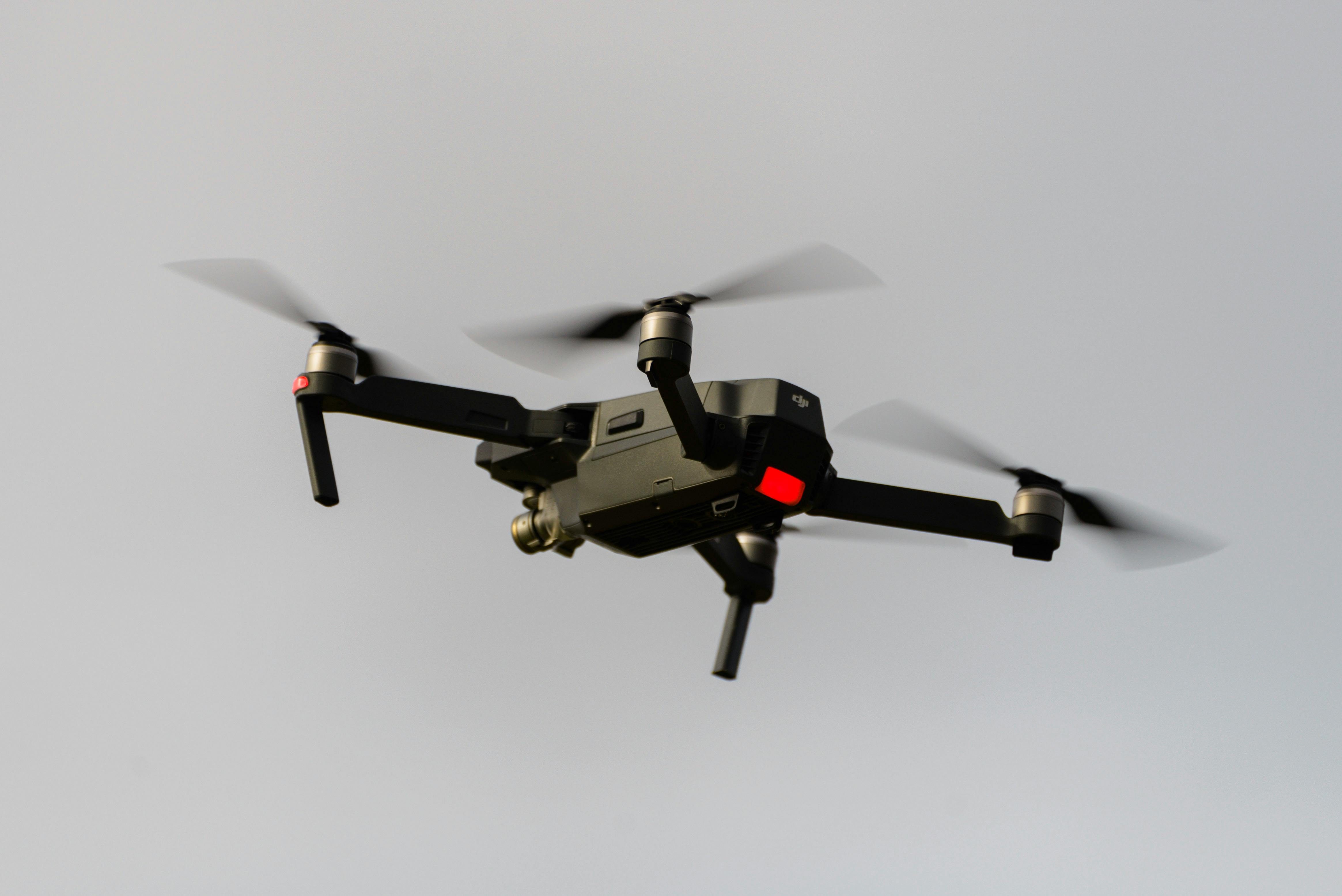
Pioneering drone surveying in Australia with advanced LiDAR and photogrammetry capabilities for rapid, accurate data collection across any terrain.
Access challenging or dangerous sites safely with our certified drone pilots and advanced UAV fleet, delivering data where traditional methods can't reach.
State-of-the-art drone LiDAR, high-resolution cameras, and real-time processing delivering detailed topographic maps, 3D models, and volumetric analysis.
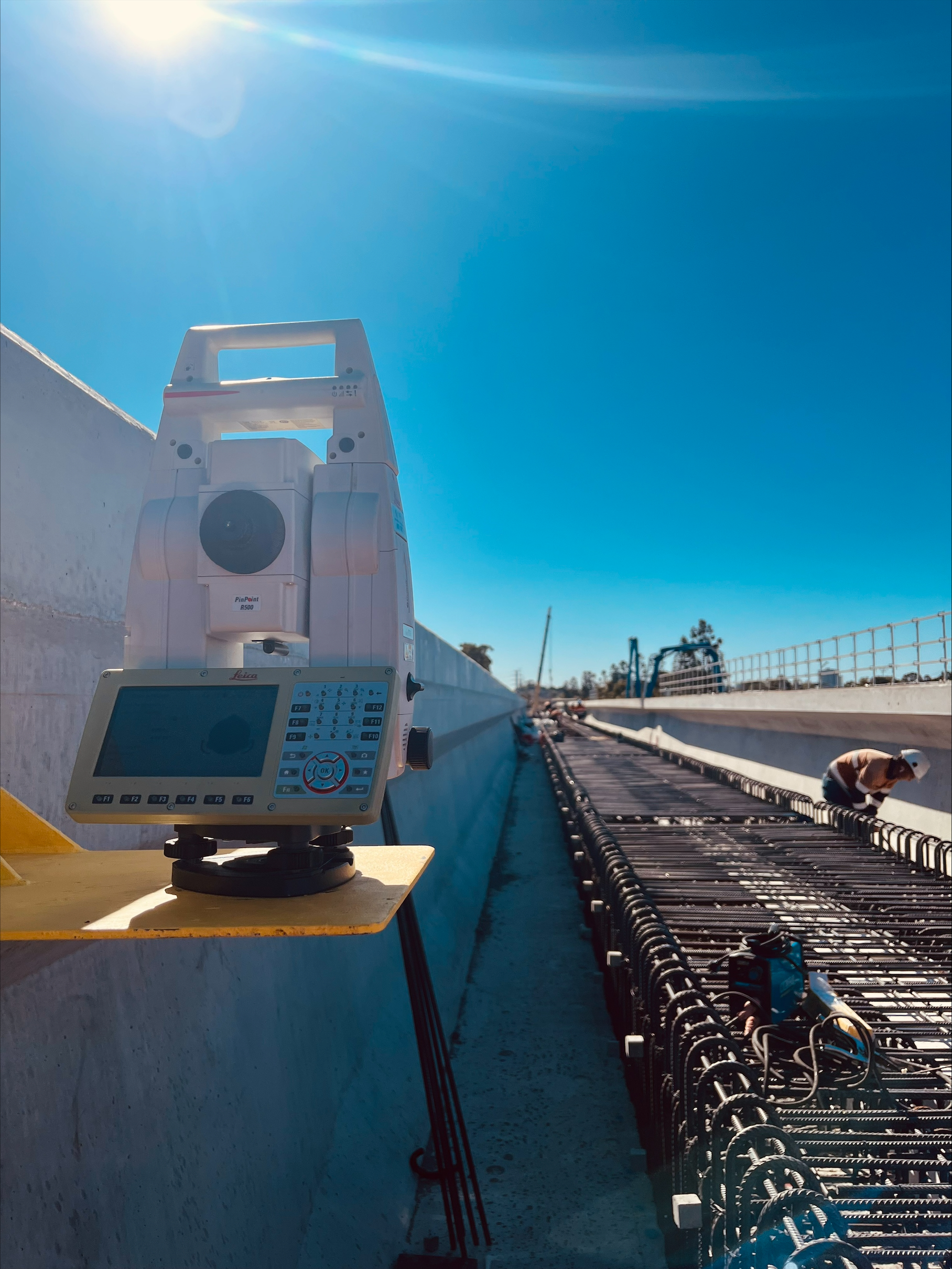
HR Surveyors provides professional drone surveying services across Adelaide and South Australia from our Edinburgh North office. Our CASA-certified UAV operations integrate aerial photogrammetry and LiDAR with licensed surveying expertise, delivering survey-grade accuracy for construction monitoring, infrastructure projects, and development works throughout Adelaide and regional SA.
Address
28 Peachey Road, Edinburgh North, SA 5113
Service Areas
Adelaide Metro, Regional South Australia
Construction progress monitoring and volumetric surveys for Adelaide building projects including O-Bahn City Access, Torrens to Riverbank, and suburban developments. Our UAV operations provide regular aerial documentation integrated with traditional surveying.
Aerial surveying for South Australian infrastructure projects including road upgrades, water infrastructure, and renewable energy developments. Our licensed surveyors ensure data meets DIT and local authority requirements.
Comprehensive aerial mapping across regional South Australia for agricultural monitoring, vineyard management in Barossa Valley, and regional infrastructure projects. Our drone services deliver orthophoto imagery and topographic data.
Explore our portfolio of successful projects demonstrating our expertise and precision delivery across diverse challenges.


Includes Beckenham, Carlisle, Queens Park, Cannington, and Oats Street Stations


Ready to see your project delivered with the same precision and expertise?
Start Your ProjectDiscover complementary surveying services often combined with this solution for comprehensive project delivery.
National drone surveying services with Adelaide-based team serving South Australia and regional projects.
Renewable energy survey services supporting South Australian wind and solar projects.
Adelaide construction monitoring for infrastructure projects and urban development.
Many clients choose to combine multiple surveying services for comprehensive project coverage and enhanced value delivery.
Get professional drone surveys for your Adelaide or SA project. Our Edinburgh North-based team combines CASA-certified UAV operations with licensed surveying expertise.
Get Adelaide Drone Survey Quote