Total Station vs GNSS: Accuracy in mm, Costs & When to Use Each
Total stations and GNSS (GPS) receivers are the two primary tools surveyors use to measure positions. Both measure coordinates, but they work differently and suit different conditions.
The short answer: Total stations excel in obstructed or indoor areas where you need millimeter precision. GNSS works best in open areas where you need to cover large distances quickly, but its accuracy depends on satellite visibility and corrections.
For most construction set-out, slab checks and structural verification, a total station is the safer choice because accuracy is usually measured in millimetres. For broad topographic pickup, corridor mapping and earthworks surfaces, GNSS can be faster because centimetre-level accuracy is often enough.
If the question is “which method will prevent rework on site?”, start with the tolerance. Anything that needs a few millimetres belongs in total station territory; anything that needs fast coverage across open ground may suit GNSS or a hybrid workflow.
Total Station Accuracy in mm
Survey-grade total stations commonly achieve 1-2 mm distance accuracy under controlled conditions, with practical site accuracy depending on control quality, setup geometry, prism choice, temperature, instrument calibration and operator process.
| Use case | Typical accuracy need | Preferred method |
|---|---|---|
| Building corners and footing set-out | Millimetres to ±5 mm | Total station |
| Slab level and structural verification | Millimetres to ±5-10 mm | Total station and digital level |
| Road and civil earthworks set-out | ±10-20 mm depending on tolerance | Total station, GNSS or both |
| Broad topographic pickup | ±20-50 mm often acceptable | GNSS, drone survey or hybrid |
The important point is not the instrument brochure number. It is whether the full survey workflow can hold the tolerance your builder, engineer or certifier needs.
Accuracy Comparison
| Factor | Total Station | GNSS (RTK) |
|---|---|---|
| Horizontal accuracy | 1–2mm | 1–3cm |
| Vertical accuracy | 1–2mm | 2–5cm |
| Line-of-sight required | Yes (to prism) | No |
| Sky visibility required | No | Yes |
Total stations achieve millimeter precision by measuring angles and distances from a known point to a reflector. GNSS calculates position from satellite signals — it reaches centimeter accuracy with RTK (Real-Time Kinematic) corrections but cannot match total station precision.
When to Use a Total Station
Choose a total station when:
- Millimeter accuracy is required — Boundary surveys, construction setout, and as-built documentation need total station precision
- The site is obstructed — Urban areas, dense vegetation, or indoor environments block GNSS signals but don’t affect total stations
- Points are close together — Total stations measure multiple points from one setup efficiently
- You need real-time measurements — Data appears instantly; no post-processing required
Total stations work by setting up over a known control point, sighting a prism, and recording coordinates. The process requires a clear line of sight to each measurement point.
When to Use GNSS
Choose GNSS when:
- You’re surveying large open areas — A single setup can record hundreds of points across hectares
- Site conditions change — During earthworks, control points get destroyed; GNSS lets you re-establish positions quickly from base stations
- Speed matters — GNSS surveys cover more ground faster than total stations
- You need to work under canopy — Some GNSS receivers handle partial obstruction, though accuracy drops
RTK GNSS uses a base station with known coordinates to correct satellite data in real-time, achieving 1–3cm accuracy in ideal conditions. Post-processed Kinematic (PPK) GNSS offers similar accuracy without requiring real-time radio links.
Setup Time
| Task | Total Station | GNSS |
|---|---|---|
| Initial setup | 15–30 minutes | 10–20 minutes |
| Per-point measurement | 10–30 seconds | 1–5 seconds |
| Moving between setups | Requires re-establishing control | Re-occupy any known point |
GNSS setup is faster, but total stations offer immediate, reliable data once calibrated. In practice, experienced surveyors choose the tool based on site conditions, not speed.
Cost Comparison
| Factor | Total Station | GNSS RTK System |
|---|---|---|
| Equipment cost | $15,000–$40,000 | $20,000–$50,000 |
| Daily hire rate | $150–$300 | $200–$400 |
| Training requirement | Moderate | Moderate to high |
Both require licensed operators. Total stations have lower consumable costs (no data plans, base station fees). GNSS requires ongoing subscriptions for RTK correction services in some areas.
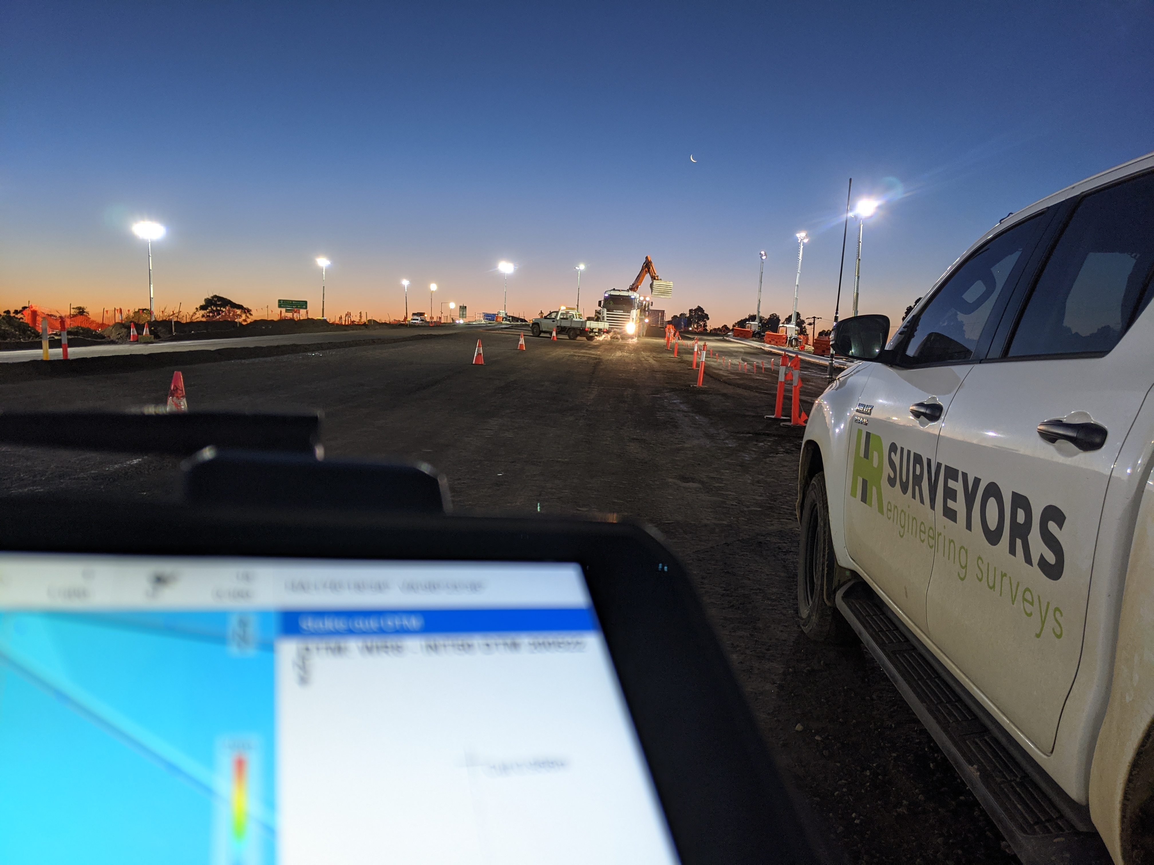
How HR Surveyors Uses Both
We select equipment based on project requirements:
- Construction setout in housing estates — Total stations for 1–2mm precision marking of building corners and road alignments
- Subdivision boundary surveys — Total stations where access allows; GNSS for traverses across large blocks
- Earthworks monitoring — GNSS surveys from a permanent base station, measuring points as the site changes
- Tunnel or indoor surveys — Total stations only; GNSS signals don’t penetrate structures
Combining both tools is standard practice. A typical project might use GNSS for initial control and large-area mapping, then total stations for detailed setout and verification.
For commercial projects, see our total station survey services for millimetre-accurate set-out, monitoring or as-built work, our construction surveying services for set-out, pickups or as-constructed verification, or our feature and level survey Perth page if you need a design-ready site survey before planning. To see the fuller range of equipment we use beyond total stations and GNSS, explore our advanced surveying tools page.
Common Questions
Which is more accurate, a total station or GNSS?
Total stations are more accurate — typically 1–2mm compared to 1–3cm for RTK GNSS. However, total station accuracy depends on control point quality and atmospheric conditions. For most construction and engineering work, both tools deliver sufficient accuracy when used correctly.
Can I use GNSS for boundary surveys?
In most Australian jurisdictions, boundary surveys require measurements to cadastral marks using methods that meet boundary survey standards. GNSS is accepted for boundary work where regulations permit, but many surveyors use total stations for this application due to regulatory requirements and precision needs.
Why do surveyors sometimes use both tools on the same project?
The tools complement each other. GNSS handles large open areas efficiently while total stations handle detailed measurements in constrained areas. Using both also provides cross-verification — if the tools agree on control points, you have confidence in your data.
Does GNSS work under trees or near buildings?
GNSS accuracy degrades under tree canopy or near tall structures. Signals bounce off surfaces (multipath), and obstructions block satellites. For sites with significant vegetation, LiDAR-equipped drones often provide the best terrain data.
What affects total station accuracy?
Total station accuracy depends on: control point quality, instrument calibration, atmospheric conditions (temperature and pressure affect distance measurements), prism type, and operator technique. Regular calibration and proper procedures maintain accuracy.
Summary
| Use This | For This |
|---|---|
| Total Station | Boundary surveys, setout, indoor work, obstructed sites, millimeter precision |
| GNSS | Large open areas, earthworks, fast coverage, changing site conditions |
Most surveying projects benefit from using both tools strategically. The choice depends on accuracy requirements, site conditions, and project scale.
Need help choosing the right survey method for your project? Contact HR Surveyors to discuss your requirements.