Expert comparison of RTK GPS and Total Station surveying equipment to help you choose the right precision technology for your project. Professional guidance from Australia's leading surveying specialists.
Experience the difference of working with Australia's leading surveying professionals. Precision Delivered since 2012.
Since 2012, we've delivered precision engineering surveys for Australia's most complex infrastructure projects, from high-rise developments to major civil works.
With 5 strategic office locations and 70+ qualified professionals, we provide comprehensive engineering surveying services across all major Australian markets.
Advanced 3D scanning, UAV LiDAR, and real-time GPS systems ensure millimetre accuracy for your engineering projects, reducing risks and delays.
Understanding the differences between RTK GPS and Total Station equipment is crucial for selecting the right surveying technology for your project. At HR Surveyors, we provide comprehensive analysis of RTK corrections versus traditional total station methods to ensure optimal accuracy and efficiency for your specific requirements.
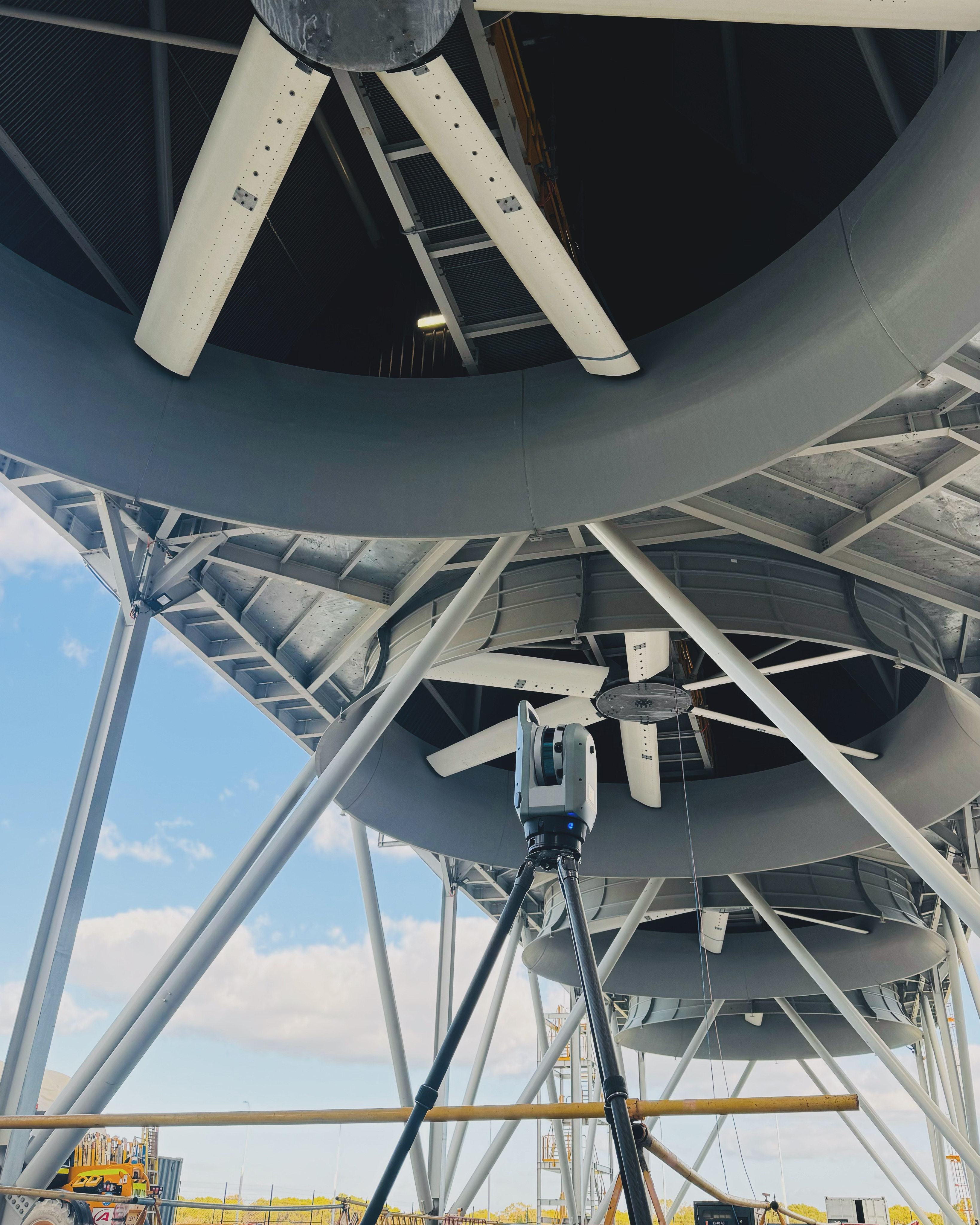
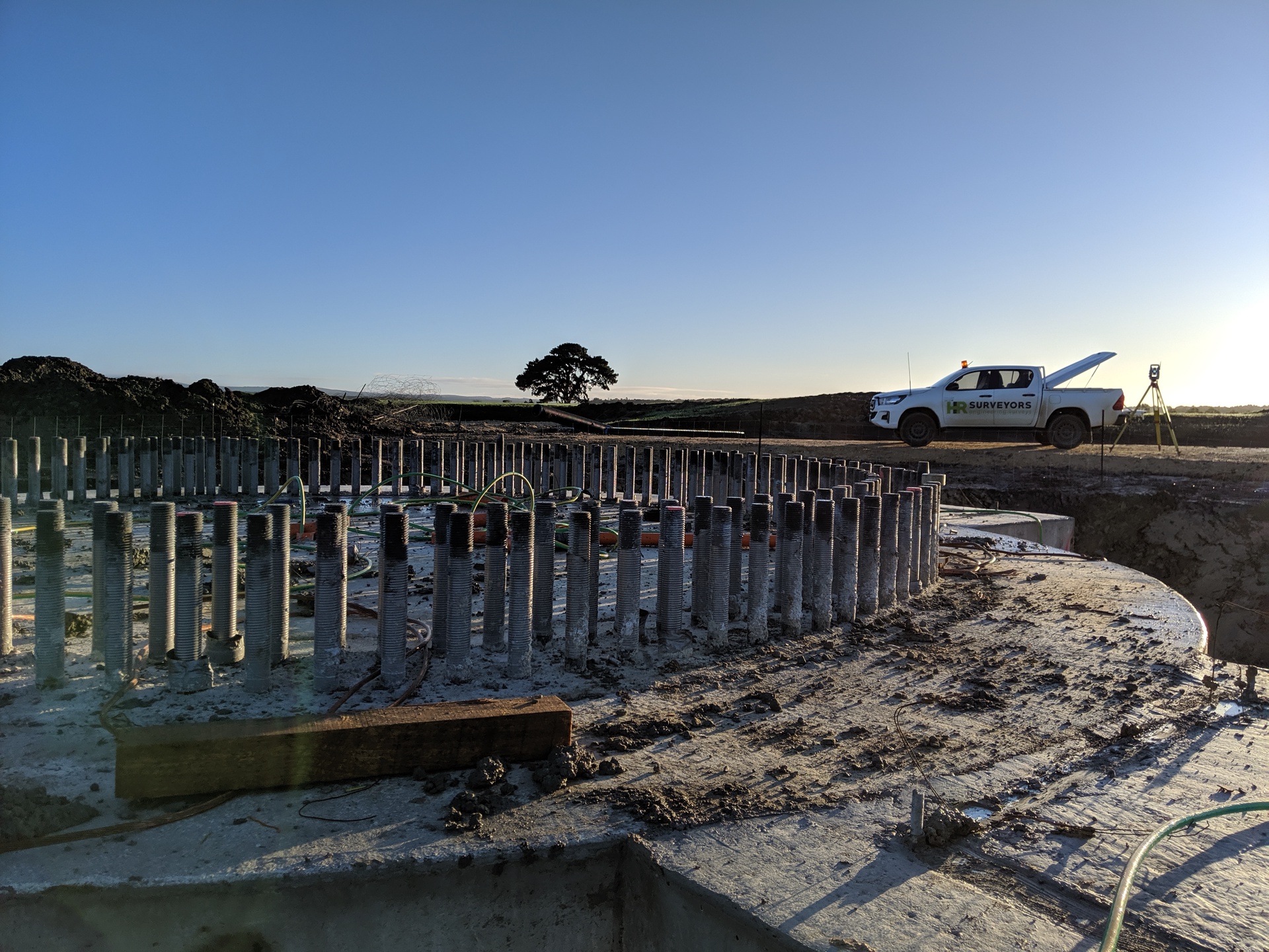
RTK (Real-Time Kinematic) GPS provides centimeter-level accuracy through real-time satellite corrections, making it ideal for large-scale projects, earthworks, and areas where traditional line-of-sight methods face limitations. Modern RTK systems offer instant positioning without requiring physical targets or prisms.
Total Stations deliver millimeter-level precision for detailed construction layouts and boundary surveys using line-of-sight measurements. The integration of electronic theodolite and EDM technology provides unmatched accuracy for structural layouts and precise coordinate determination.
Many projects benefit from combining RTK GPS and Total Station technologies strategically. RTK GPS handles large-scale mapping and earthworks efficiently, while Total Stations provide precision for detailed construction work and indoor applications. Our integrated approach maximizes both accuracy and productivity.
Centimeter-level (RTK GPS) to millimeter-level (Total Station) precision
RTK GPS systems, robotic total stations, correction networks
Compliant with Australian surveying standards and RTK specifications
Explore our portfolio of successful projects demonstrating our expertise and precision delivery across diverse challenges.


Includes Beckenham, Carlisle, Queens Park, Cannington, and Oats Street Stations


Ready to see your project delivered with the same precision and expertise?
Start Your ProjectOur surveying specialists analyze your project requirements and recommend the optimal RTK GPS or Total Station equipment for maximum accuracy and efficiency. Get personalized technology selection guidance based on your specific needs.