Design-ready feature and level surveys for Adelaide sites. Our Edinburgh North office captures detail, levels and contours as the accurate existing-conditions base plan that architects, engineers and councils rely on before design begins.
Experience the difference of working with Australia's leading surveying professionals. Precision Delivered since 2012.
Deep expertise in Australian land surveying standards and regulations, ensuring accurate boundary definitions and compliance with state requirements.
Comprehensive land surveying across all Australian states with local teams understanding regional variations in regulations and requirements.
High-accuracy GPS, total stations, and digital mapping systems delivering reliable boundary surveys, subdivisions, and property assessments.
A feature and level survey is the accurate existing-conditions base plan that good design starts from. HR Surveyors produces feature, level, detail and contour surveys for Adelaide sites from our office at 28 Peachey Road, Edinburgh North, backed by 70+ qualified professionals and 12+ years of surveying since 2012. We capture site detail and levels, then deliver CAD-ready plans for architects, civil engineers and South Australian council submission. Working under ISO 9001 and tying control to MGA2020/AHD where scope requires, we give design teams a measured base that de-risks decisions on layout, drainage and earthworks.
We record existing structures, fences, visible services, trees, access points, spot levels and contours across the site. This detailed picture of surface and feature data is the foundation architects and engineers use to design accurately rather than from assumptions.
Survey data is delivered in CAD-compatible formats prepared for direct use by design teams and for South Australian council development submissions. Clean, well-structured deliverables keep design coordination efficient and reduce back-and-forth over data quality.
We map levels, access, drainage indicators and visible site constraints so the design team understands the context early. Identifying grading, fall and stormwater considerations up front helps de-risk design, drainage and earthworks before plans are committed.
Survey-grade existing-conditions data suitable for design, drainage and council submission
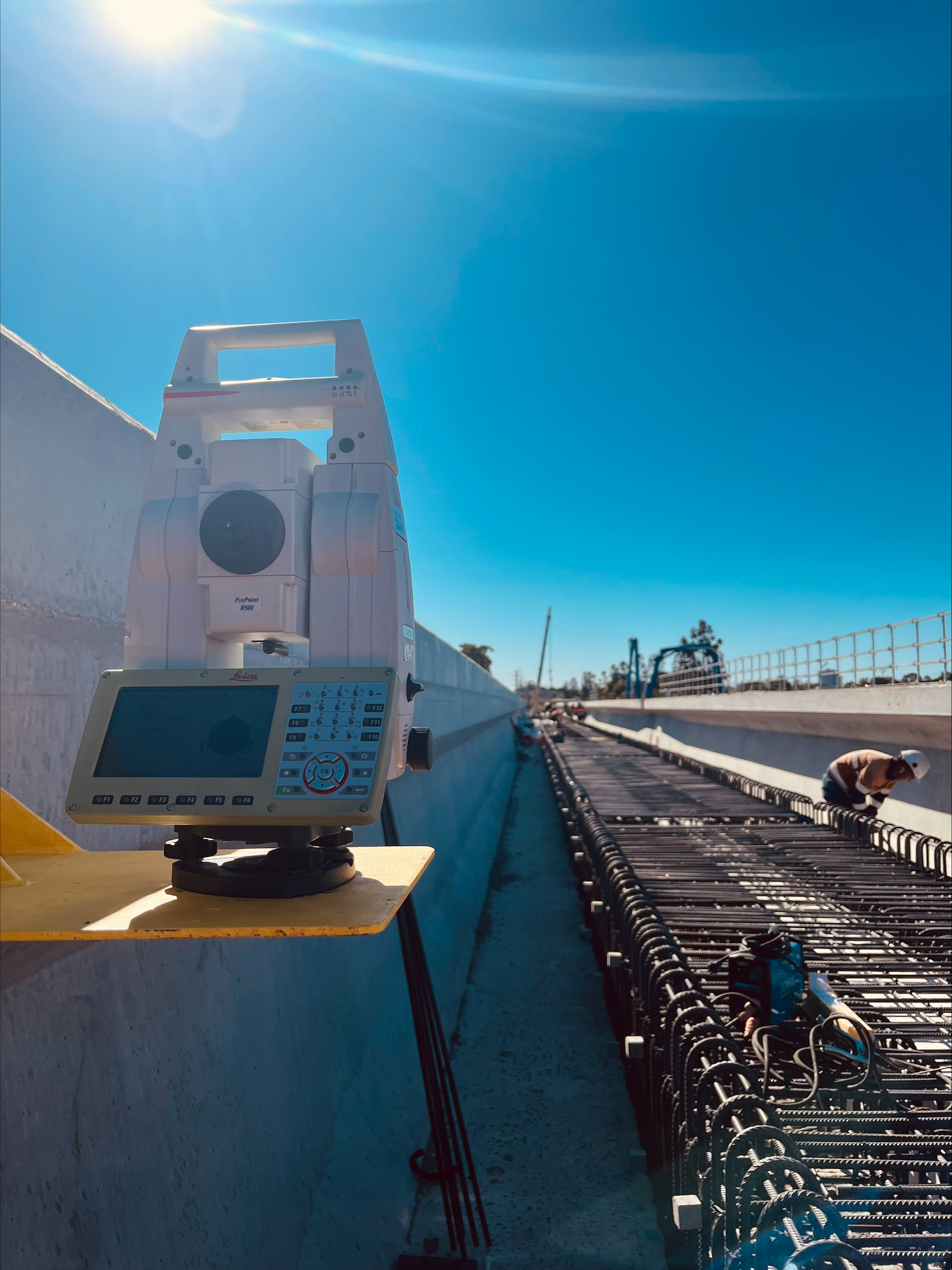
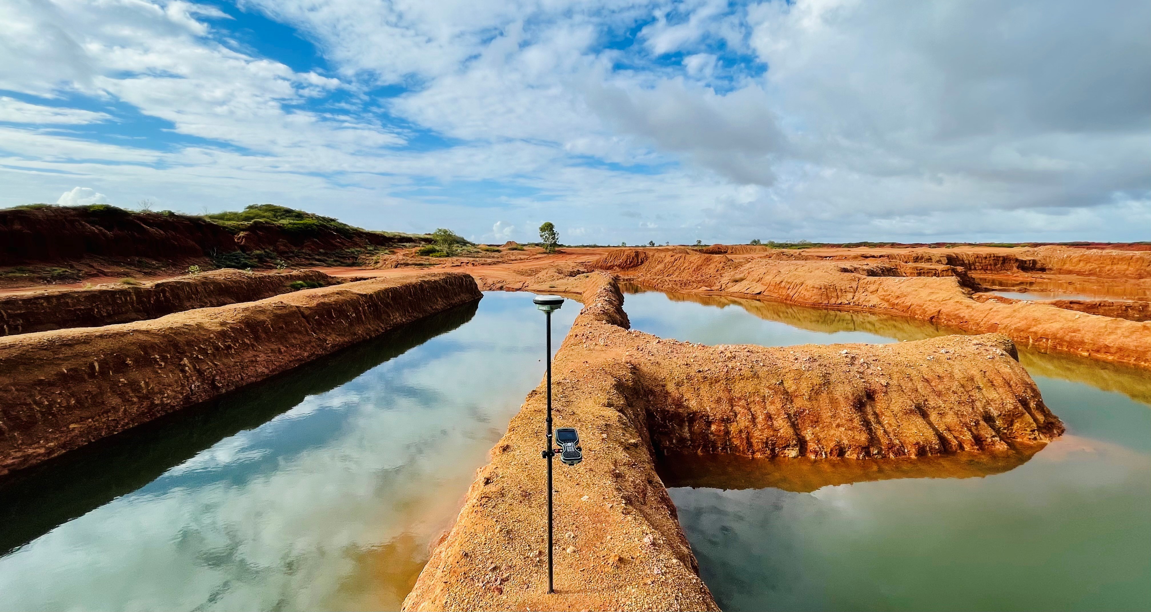
RTK GNSS, Leica total stations and digital levels with CAD drafting workflows
MGA2020/GDA2020 horizontal and AHD (AUSGeoid2020) vertical control where project scope requires it
A feature and level survey records visible existing detail and ground levels, such as structures, services, trees, access, spot levels and contours, as a base plan for design and development. A boundary survey is a cadastral activity that defines or certifies legal property boundaries. They answer different questions and HR Surveyors provides the former, not the latter. For design, drainage, earthworks and development applications, a feature and level survey is the survey design teams and councils actually work from.
A feature and level survey typically includes existing structures, fences, visible services, trees, access points, spot levels and contours, with the level of detail tailored to the brief and council requirements. We deliver the result as a CAD-ready plan that architects and engineers load directly into their design workflow and that supports the existing-conditions information councils expect with a development application. An accurate base plan reduces design assumptions, drainage surprises and the risk of redesign later.
A typical residential or small commercial site involves roughly one day of fieldwork, with CAD deliverables usually following within a few business days. Larger sites, dense vegetation, difficult access or detailed council requirements can extend both stages, while time-critical programs can often be prioritised. We confirm a realistic timeframe once we understand the site size, terrain and detail required. Contact us for a free, no-obligation quote based on your specific site.
Explore our portfolio of successful projects demonstrating our expertise and precision delivery across diverse challenges.

Ready to see your project delivered with the same precision and expertise?
Start Your ProjectDiscover complementary surveying services often combined with this solution for comprehensive project delivery.
Feature, level and topographic surveys for Adelaide development teams before design or lodgement.
Set-out, site control and as-built surveys once the project moves into construction.
National land surveying for feature, level and topographic surveys and survey control.
Many clients choose to combine multiple surveying services for comprehensive project coverage and enhanced value delivery.
Join thousands of satisfied clients who trust HR Surveyors for their most important projects. Get your free consultation today and discover why we're Australia's leading surveying professionals.