Professional land surveying services supporting development planning and construction across Australia. From topographic and feature surveys to site datum setup and as-built documentation, our licensed team delivers the accurate baseline data your project needs.
Experience the difference of working with Australia's leading surveying professionals. Precision Delivered since 2012.
Deep expertise in Australian land surveying standards and regulations, ensuring accurate boundary definitions and compliance with state requirements.
Comprehensive land surveying across all Australian states with local teams understanding regional variations in regulations and requirements.
High-accuracy GPS, total stations, and digital mapping systems delivering reliable boundary surveys, subdivisions, and property assessments.
HR Surveyors provides accurate land surveying services across Victoria, Western Australia, Queensland, and South Australia. Whether you need a feature and level survey for a development application, a control network for a construction project, or as-built documentation for compliance sign-off, our licensed engineers deliver precise, clearly presented survey data that design teams and councils can rely on.
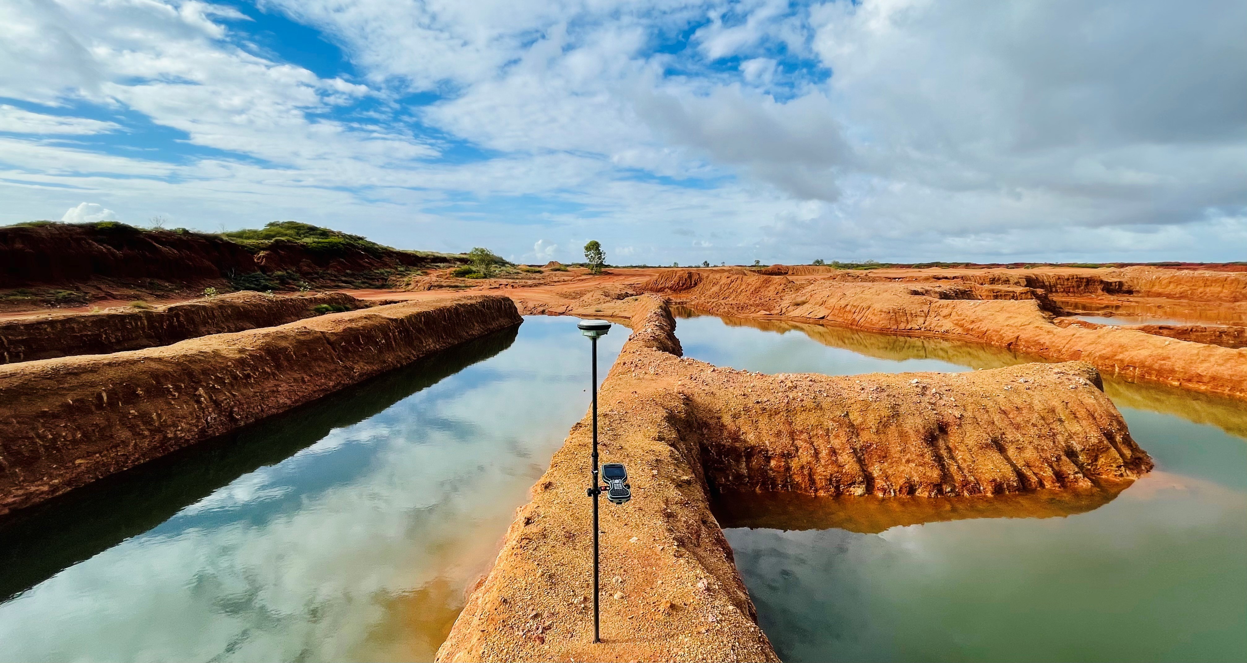
Detailed topographic surveys capturing all physical site features — boundaries, structures, trees, services, and spot heights — tied to MGA/AHD coordinates. Essential for development applications, architectural design, and civil engineering. Plans are delivered in CAD-compatible formats ready for your design team.
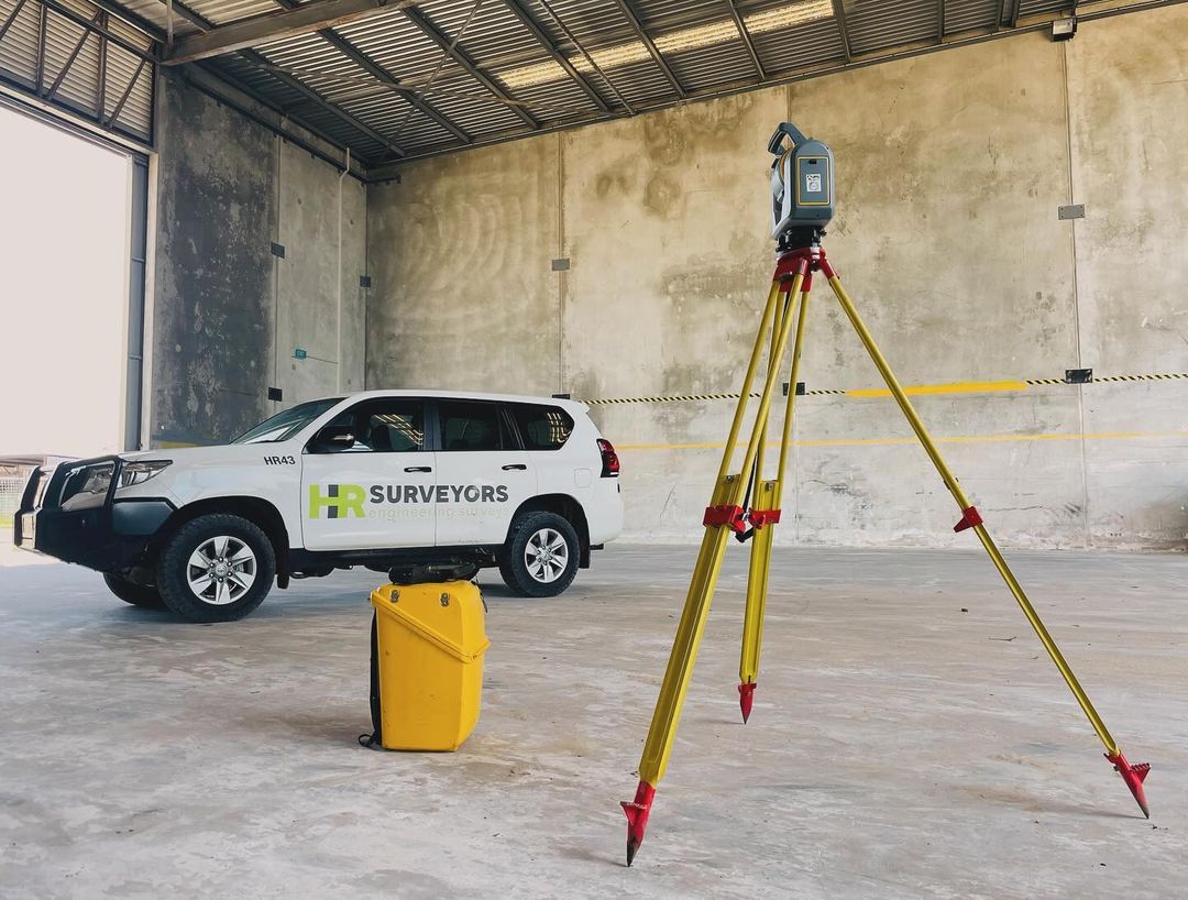
Establishing site datum and control networks that accurately translate design coordinates onto the physical site. We set out footings, slabs, columns, and infrastructure elements to design tolerance, ensuring your build starts right and stays right throughout construction.
Final surveys confirming that completed structures and infrastructure match approved designs. Required for compliance certification, council sign-off, and asset management. We deliver in formats compatible with A-SPEC, ADAC, and project-specific requirements.
Millimetre-accurate field data using GNSS networks and calibrated total stations
Leica total stations, RTK GNSS, digital levels, CAD drafting software
MGA2020 / GDA2020 horizontal, AHD vertical; compliant with state surveying regulations
A feature and level survey captures the physical characteristics of a site: existing structures and buildings, natural features such as trees and waterways, utility services (where visible), site boundaries, fencing, and spot heights at regular intervals to establish contour data. All features are tied to MGA/AHD coordinates and presented as a scaled CAD plan ready for design use.
Survey costs depend on project type, site size, terrain, and the level of detail required. A feature and level survey, a construction set-out visit, and an as-constructed survey each have different scopes and corresponding pricing. We provide free, no-obligation quotes based on your specific site and requirements — contact us with your address and project details for a prompt estimate.
Most standard residential feature and level surveys require one day of fieldwork, with plans delivered within 2–5 business days. Larger or more complex sites may need additional fieldwork. For urgent planning applications, we can often prioritise turnaround — contact us to discuss your timeline and we will do our best to accommodate it.
In most cases, yes. Local councils across Australia require a feature and level survey as part of a development application to confirm existing site conditions match the design intent. The survey forms the base plan from which your architect or engineer designs the development. It is usually one of the first steps in any residential or commercial development project.
Explore our portfolio of successful projects demonstrating our expertise and precision delivery across diverse challenges.


Ready to see your project delivered with the same precision and expertise?
Start Your ProjectJoin thousands of satisfied clients who trust HR Surveyors for their most important projects. Get your free consultation today and discover why we're Australia's leading surveying professionals.