Australia's leading aerial mapping companies delivering professional UAV surveying services with advanced technology. Our CASA-certified operations provide high-precision aerial mapping, 3D modeling, and topographic surveys for construction, mining, and environmental applications.
Experience the difference of working with Australia's leading surveying professionals. Precision Delivered since 2012.
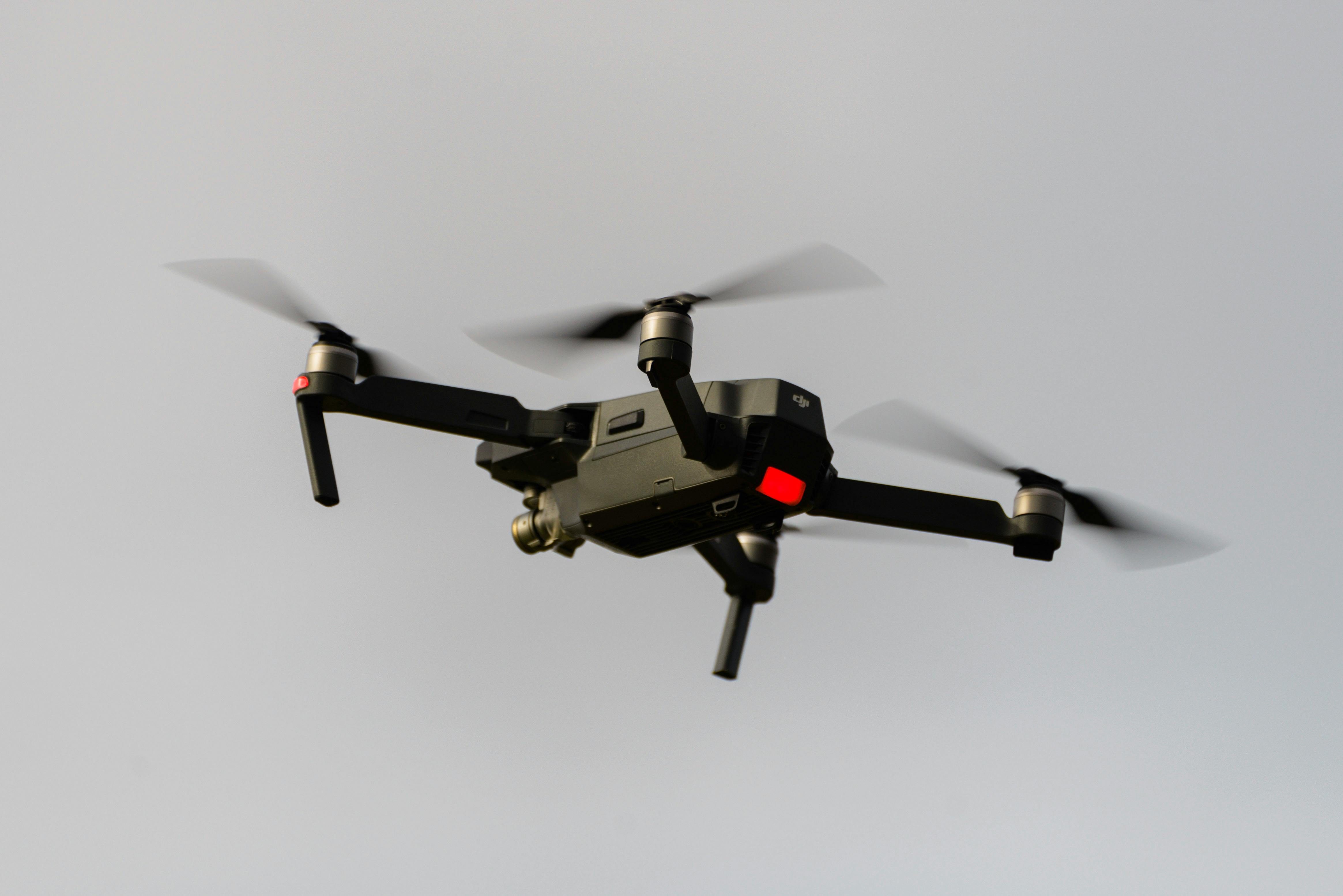
Pioneering drone surveying in Australia with advanced LiDAR and photogrammetry capabilities for rapid, accurate data collection across any terrain.
Access challenging or dangerous sites safely with our certified drone pilots and advanced UAV fleet, delivering data where traditional methods can't reach.
State-of-the-art drone LiDAR, high-resolution cameras, and real-time processing delivering detailed topographic maps, 3D models, and volumetric analysis.
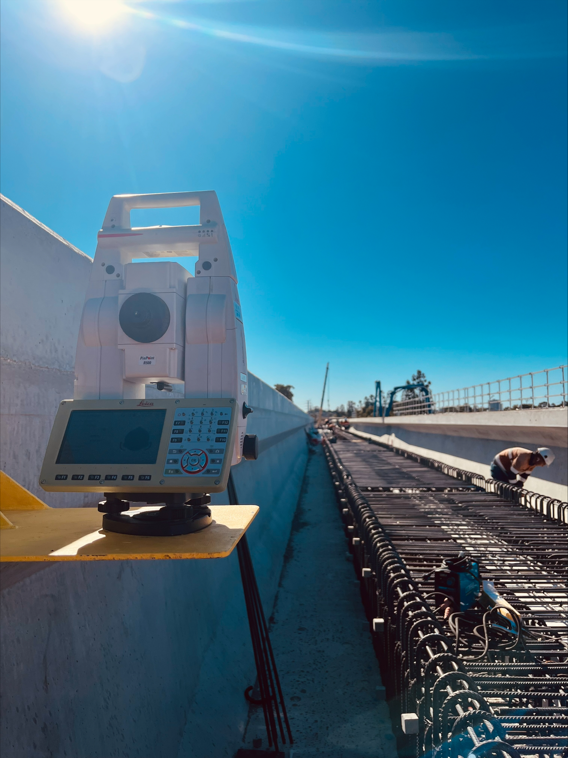
HR Surveyors is among Australia's leading aerial survey companies, providing professional UAV surveying services with CASA-certified operations and advanced technology. As one of the established aerial survey and mapping companies operating nationally, our solutions combine LiDAR, photogrammetry, and 3D modeling to deliver high-precision data for construction, mining, environmental monitoring, and infrastructure projects across the nation.
As one of Australia's premier aerial mapping companies, we operate CASA-certified drone fleets for professional surveying applications. Our experienced pilots and surveyors deliver accurate aerial data collection with rapid turnaround times and comprehensive project support.
Our aerial mapping services utilize state-of-the-art processing software to transform raw drone data into actionable deliverables. We provide orthomosaics, 3D models, contour maps, and volumetric calculations that support informed decision-making for complex projects.
Leading aerial mapping companies like HR Surveyors integrate multiple technologies for optimal results. Our combination of LiDAR, photogrammetry, and RTK GPS positioning ensures survey-grade accuracy for projects requiring the highest standards of precision and reliability.
Survey-grade accuracy with advanced RTK and PPK processing
Professional UAV fleets, LiDAR sensors, high-resolution cameras
CASA certified operations, ISO quality standards compliance
Explore our portfolio of successful projects demonstrating our expertise and precision delivery across diverse challenges.


Includes Beckenham, Carlisle, Queens Park, Cannington, and Oats Street Stations


Ready to see your project delivered with the same precision and expertise?
Start Your ProjectDiscover complementary surveying services often combined with this solution for comprehensive project delivery.
National drone surveying services combining UAV imagery, LiDAR and professional surveyor oversight for accurate site mapping.
CASA-certified aerial mapping for topographic, volumetric and progress-monitoring surveys across Australia.
Drone photogrammetry and LiDAR mapping for broad-area site context and terrain modelling.
Many clients choose to combine multiple surveying services for comprehensive project coverage and enhanced value delivery.
As one of Australia\'s leading aerial mapping companies, HR Surveyors delivers professional UAV surveying services with CASA-certified operations and advanced technology. Get expert aerial mapping solutions for your most demanding projects.