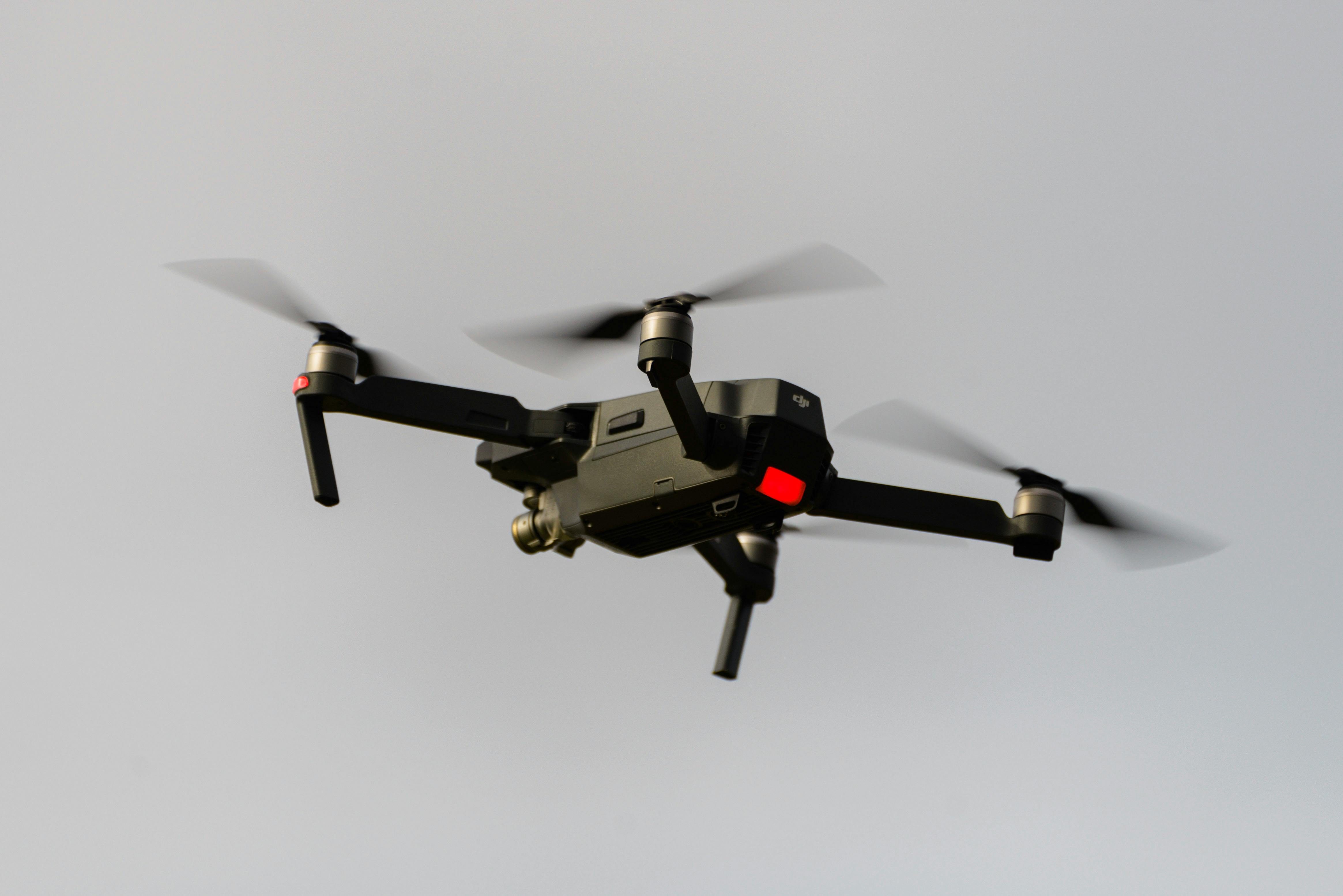
Professional aerial mapping services combining drone UAV technology with licensed surveying expertise. From high-resolution orthomosaics and digital terrain models to LiDAR point clouds and volumetric surveys, our CASA-certified aerial mapping delivers survey-grade accuracy for construction, mining, and infrastructure projects.
Experience the difference of working with Australia's leading surveying professionals. Precision Delivered since 2012.
Pioneering drone surveying in Australia with advanced LiDAR and photogrammetry capabilities for rapid, accurate data collection across any terrain.
Access challenging or dangerous sites safely with our certified drone pilots and advanced UAV fleet, delivering data where traditional methods can't reach.
State-of-the-art drone LiDAR, high-resolution cameras, and real-time processing delivering detailed topographic maps, 3D models, and volumetric analysis.
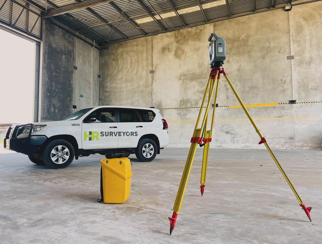
HR Surveyors' aerial mapping and surveying services combine CASA-certified drone operations with licensed surveying expertise. Unlike standalone drone operators, our team integrates aerial data collection with professional survey control, delivering georeferenced orthomosaics, accurate digital terrain models, and LiDAR point clouds that meet engineering accuracy requirements. We operate across all Australian states with offices in Melbourne, Geelong, Perth, Brisbane, and Adelaide.
High-resolution drone photography processed into accurate orthorectified maps and 3D terrain models. Ideal for site documentation, earthworks progress monitoring, topographic mapping, and construction communication. Combined with ground control, we deliver centimetre-accurate geospatial data.
Advanced LiDAR sensors on UAV platforms penetrate vegetation canopy to capture accurate terrain data in bushland, rough terrain, and dense growth areas where photogrammetry alone struggles. Delivers high-density point clouds for DTM generation, volume calculations, and infrastructure corridor mapping.
Rapid aerial surveys calculate stockpile volumes and pit progression far faster than ground-based methods over large areas. Accuracy is verified against ground control and integrated with our traditional surveying for reconciliation and reporting.
Survey-grade accuracy with RTK/PPK correction; vertical accuracy typically ±30–50 mm with ground control
Professional UAV platforms (DJI Zenmuse, Wingtra), Riegl MiniVUX LiDAR, Sony RX1R camera systems
CASA ReOC certified operations, licensed surveyors, ISO 9001 quality systems
With properly placed ground control points and RTK/PPK correction, drone photogrammetry typically achieves horizontal accuracy of ±20–50 mm and vertical accuracy of ±30–50 mm — sufficient for construction progress monitoring, earthworks quantification, and topographic mapping. Drone LiDAR can achieve similar or better vertical accuracy and works in vegetated areas where photogrammetry struggles.
Photogrammetry uses overlapping photos to generate 3D models and is cost-effective for open terrain and construction sites. LiDAR uses laser pulses that penetrate vegetation canopy gaps to capture the true ground surface below — essential for sites with trees, scrub, or rough terrain. We recommend photogrammetry for clear-terrain sites and LiDAR or a hybrid approach where vegetation penetration is needed.
Commercial drone operations in Australia require CASA certification. Our operations are conducted under a CASA-issued ReOC (Remotely Piloted Aircraft Operator Certificate). We manage all airspace permissions, notify relevant authorities for controlled airspace operations, and carry appropriate public liability insurance for all aerial survey work.
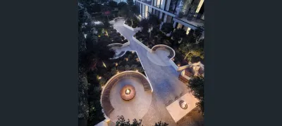
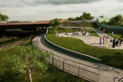
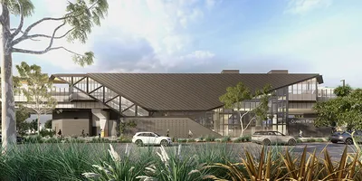
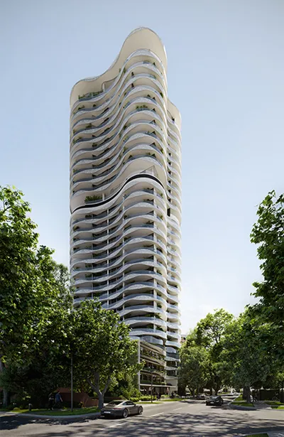
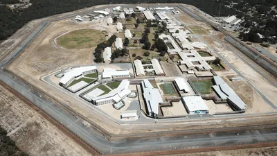
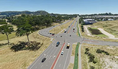
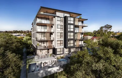
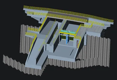
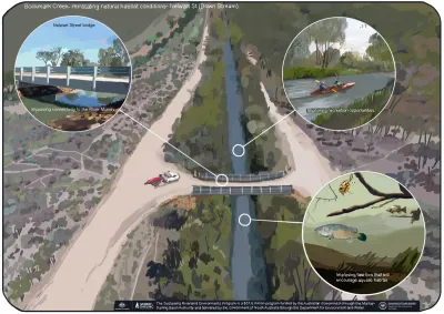
Explore our portfolio of successful projects demonstrating our expertise and precision delivery across diverse challenges.

Includes Beckenham, Carlisle, Queens Park, Cannington, and Oats Street Stations
Ready to see your project delivered with the same precision and expertise?
Start Your ProjectJoin thousands of satisfied clients who trust HR Surveyors for their most important projects. Get your free consultation today and discover why we're Australia's leading surveying professionals.