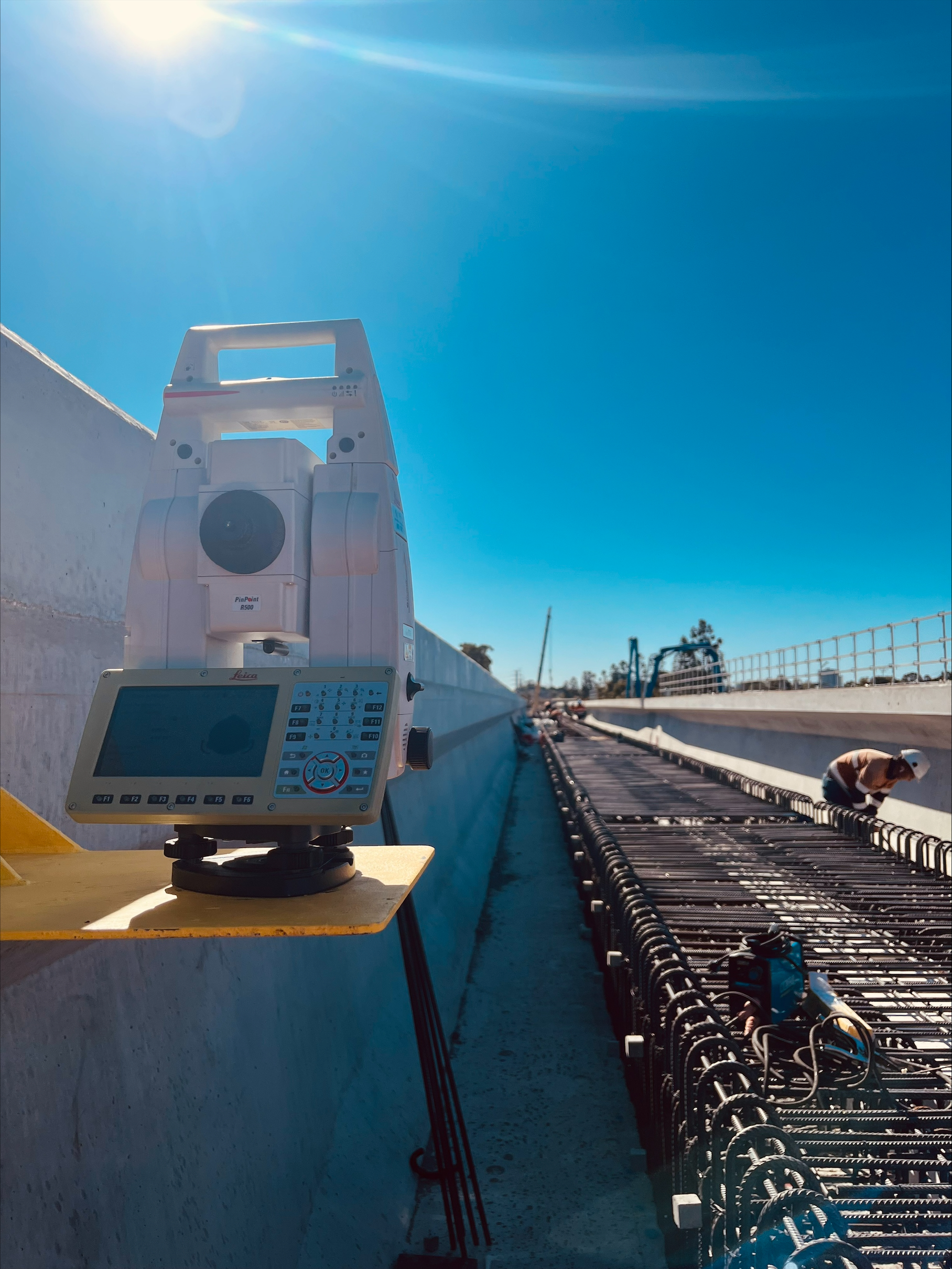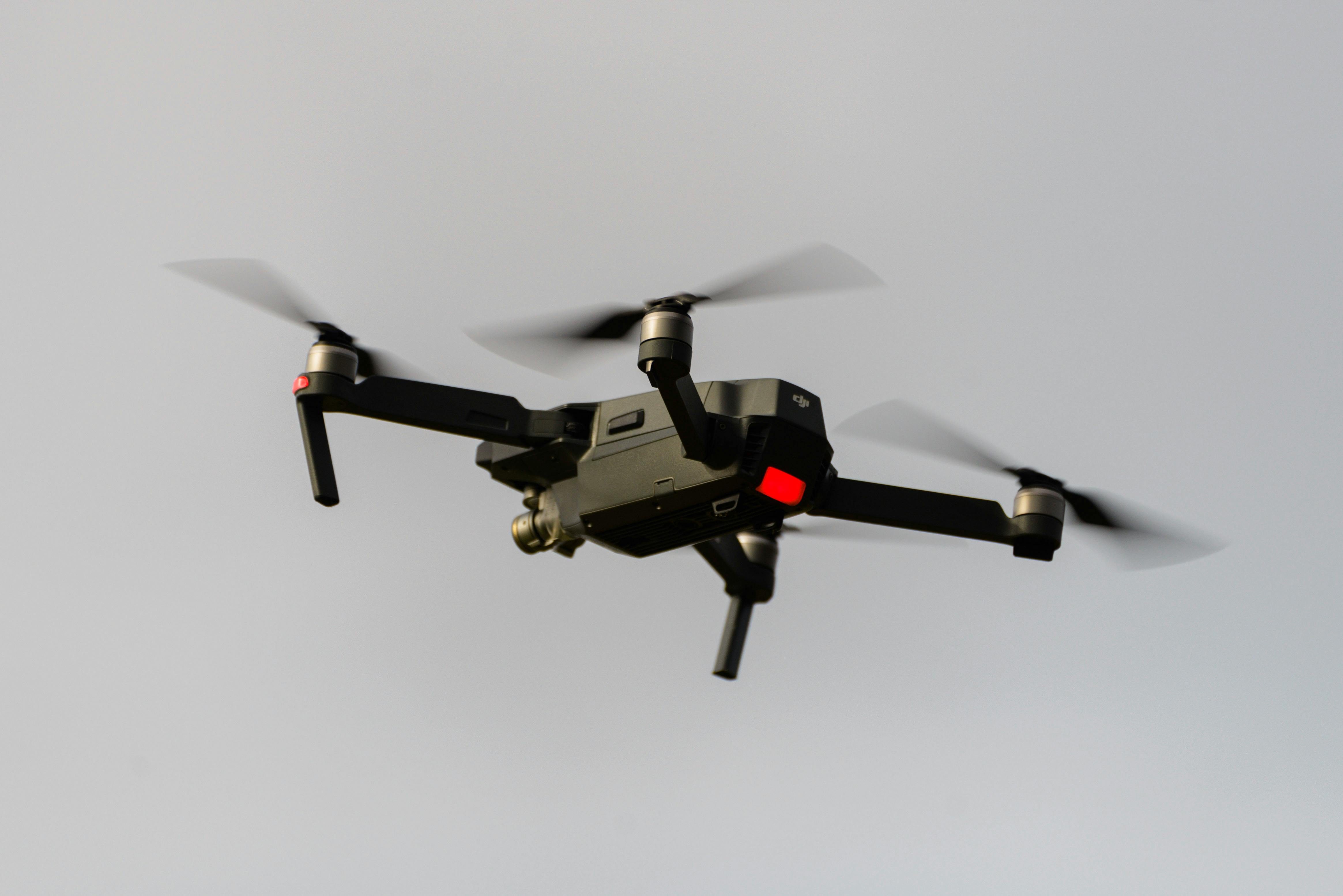
Professional UAV inspection services for infrastructure, construction and hazardous-access structures across Australia. Our CASA-certified drone operations capture high-resolution imagery, LiDAR and orthophotos tied to survey control, giving asset owners and construction teams measurable, repeatable condition data without scaffolding, rope access or confined-space entry.
Experience the difference of working with Australia's leading surveying professionals. Precision Delivered since 2012.
Pioneering drone surveying in Australia with advanced LiDAR and photogrammetry capabilities for rapid, accurate data collection across any terrain.
Access challenging or dangerous sites safely with our certified drone pilots and advanced UAV fleet, delivering data where traditional methods can't reach.
State-of-the-art drone LiDAR, high-resolution cameras, and real-time processing delivering detailed topographic maps, 3D models, and volumetric analysis.
HR Surveyors provides UAV inspection services across Australia, using CASA-certified drone operations to capture high-resolution imagery, video and LiDAR data of infrastructure and asset condition. Unlike site mapping or topographic surveys, UAV inspection is focused on visual and dimensional condition assessment, identifying defects, corrosion, cracking and wear on structures that are difficult, costly or unsafe to access by conventional means.
Drone-based inspection of bridges, towers, rooftops, solar and wind assets, and utility infrastructure, capturing high-resolution imagery and LiDAR data to identify defects, corrosion, cracking and wear for asset owners and facility managers.
Regular drone inspection of active construction sites, building facades, roofing and elevated or hazardous structures, removing the need for scaffolding, rope access or confined-space entry while keeping site teams and asset managers informed.
High-resolution imagery, orthophotos and LiDAR point clouds referenced to MGA2020/GDA2020 survey control, so inspection data can be measured, compared over time and integrated into asset management and BIM systems.
Survey-grade positioning tied to MGA2020/GDA2020 control for repeatable, measurable inspection data
CASA-compliant UAV fleet with high-resolution RGB cameras and LiDAR sensors
CASA ReOC certified operations, ISO 9001 quality management
UAV inspection is focused on capturing the visual and physical condition of an asset or structure, such as defects, corrosion, cracking and wear, rather than producing topographic or mapping data. Our drone surveying and aerial mapping services capture terrain and site data for design and volumetrics; UAV inspection captures condition data for infrastructure, buildings and hazardous-access structures. We can combine both where a project needs mapping and condition inspection together.
We inspect bridges, towers, rooftops, facades, solar and wind farm assets, utility and industrial infrastructure, and construction sites during the build program. Drone inspection is particularly valuable for elevated, confined or hazardous-access structures where scaffolding, rope access or confined-space entry would otherwise be required.
Yes. We operate from five offices across Australia — our Huntingdale head office and Geelong office in Victoria, West Leederville in Perth WA, Loganholme near Brisbane QLD, and Edinburgh North in Adelaide SA — so we can mobilise UAV inspection teams to construction sites and infrastructure assets across Victoria, Western Australia, Queensland and South Australia. Contact us with your location and asset type for a free, no-obligation quote.
Yes. Our UAV inspection operations are conducted under a CASA-issued ReOC (Remotely Piloted Aircraft Operator Certificate), meaning all commercial drone flights are fully regulated and insured. Our pilots are experienced in operating near infrastructure, elevated structures and active construction sites under ISO 9001 quality processes.
Explore our portfolio of successful projects demonstrating our expertise and precision delivery across diverse challenges.

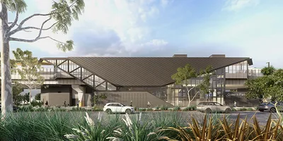
Includes Beckenham, Carlisle, Queens Park, Cannington, and Oats Street Stations
Ready to see your project delivered with the same precision and expertise?
Start Your ProjectDiscover complementary surveying services often combined with this solution for comprehensive project delivery.
Comprehensive drone surveying with LiDAR, photogrammetry, and professional surveyor integration for mapping and topographic data.
Specialized drone LiDAR technology with vegetation penetration for accurate terrain mapping and asset elevation data.
Specialized mining surveys including stockpile volumetrics, pit progression, and reconciliation with professional surveyors.
Many clients choose to combine multiple surveying services for comprehensive project coverage and enhanced value delivery.
Join thousands of satisfied clients who trust HR Surveyors for their most important projects. Get your free consultation today and discover why we're Australia's leading surveying professionals.