Australia's leading mining drone survey service with CASA-certified UAV operations and licensed surveyors. We deliver accurate stockpile volumetrics, pit progression monitoring, and reconciliation surveys for mining operations across Western Australia, Queensland, and all Australian mining regions.
Experience the difference of working with Australia's leading surveying professionals. Precision Delivered since 2012.
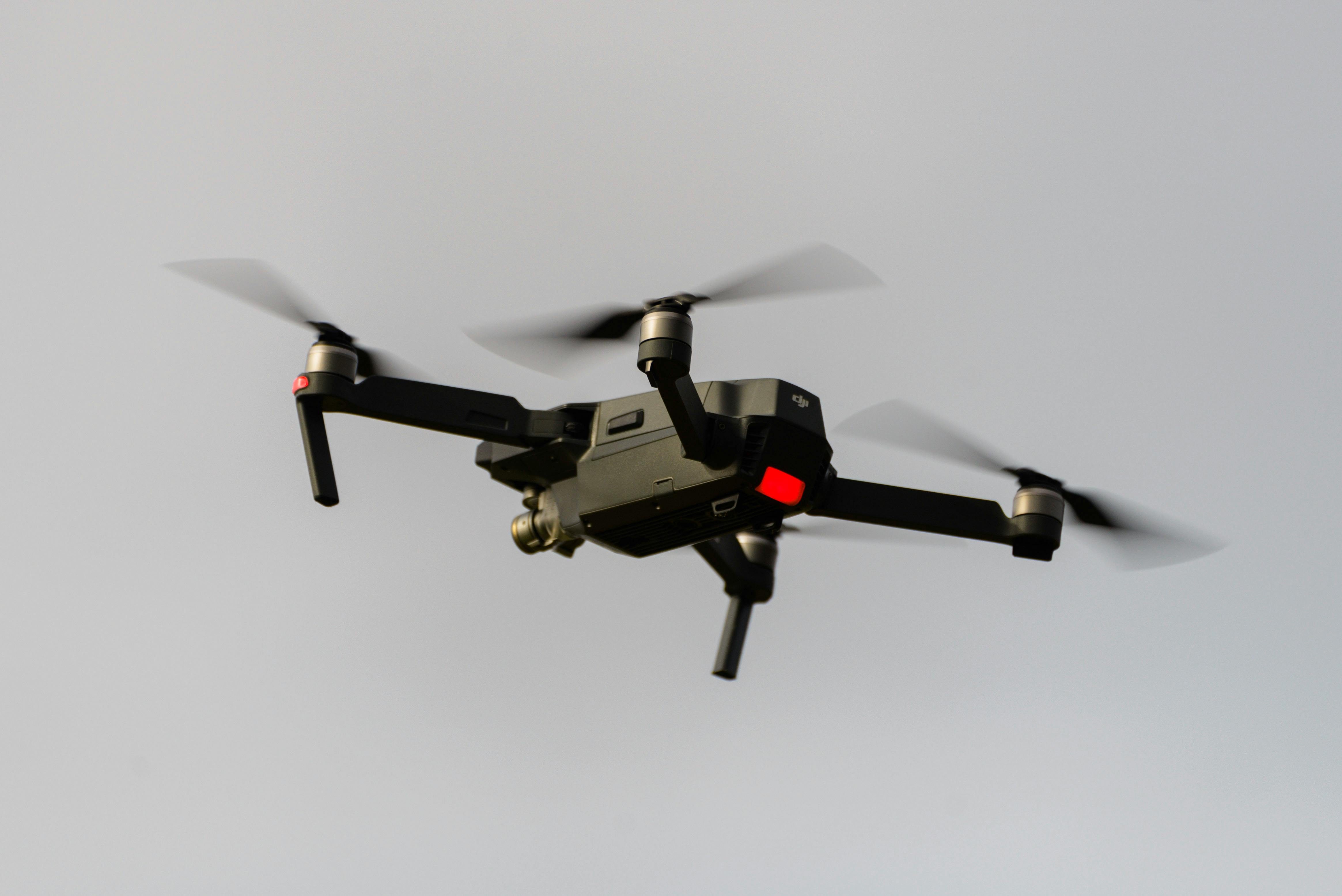
Pioneering drone surveying in Australia with advanced LiDAR and photogrammetry capabilities for rapid, accurate data collection across any terrain.
Access challenging or dangerous sites safely with our certified drone pilots and advanced UAV fleet, delivering data where traditional methods can't reach.
State-of-the-art drone LiDAR, high-resolution cameras, and real-time processing delivering detailed topographic maps, 3D models, and volumetric analysis.
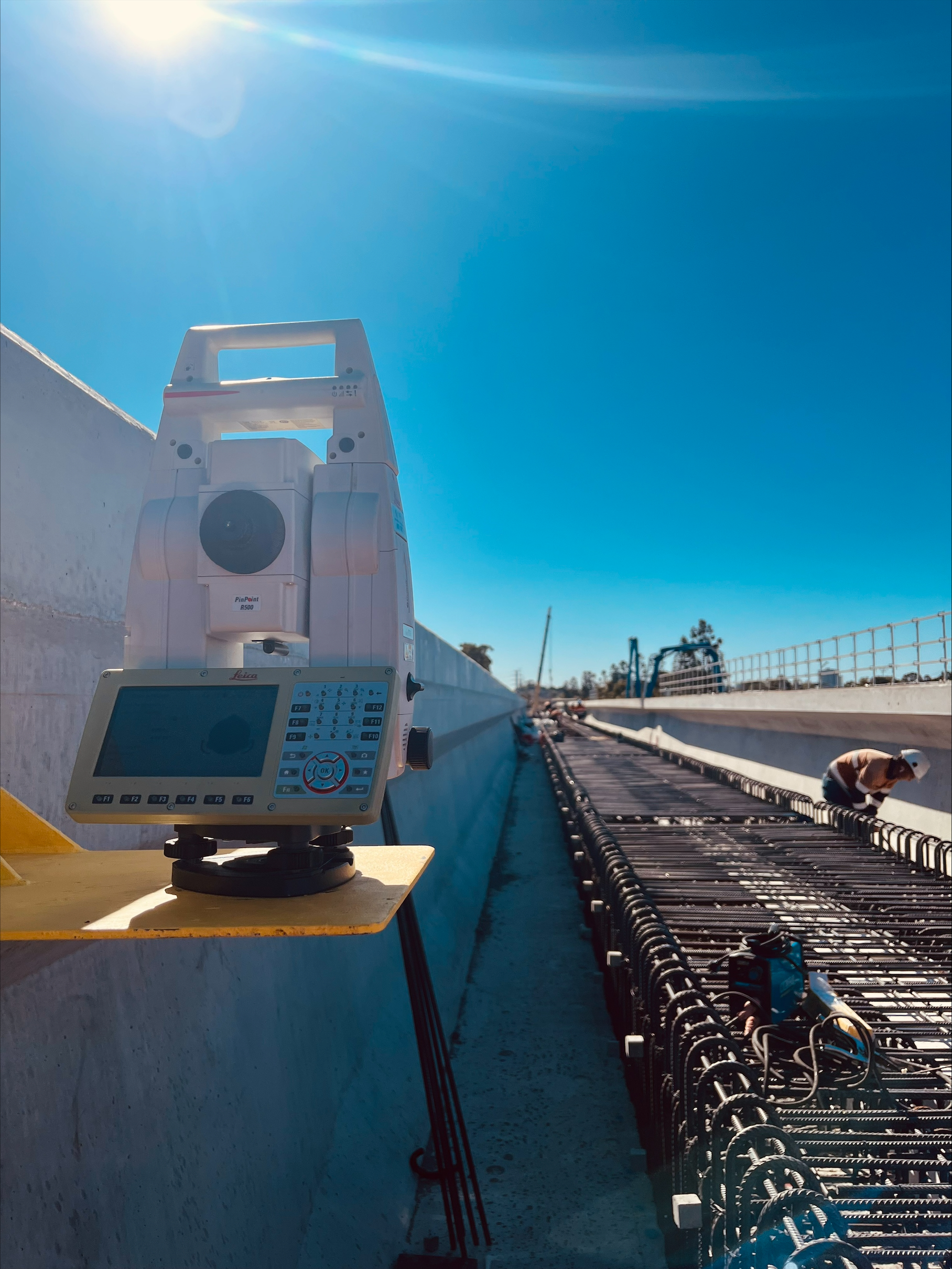
HR Surveyors provides specialized drone survey services for Australian mining operations, combining CASA-certified UAV operations with licensed surveying expertise. Our mining drone surveys deliver accurate stockpile volumetrics, pit progression monitoring, and reconciliation data that integrates seamlessly with your mine planning and survey systems. Unlike standalone drone operators, our licensed surveyors provide verified accuracy that meets mining industry standards and regulatory requirements.
Rapid stockpile volume calculations using drone photogrammetry and LiDAR technology. Our surveys deliver accurate volumetric data for material stockpiles including ROM pads, product stockpiles, waste dumps, and process plant storage with integration to mine planning software.
Regular aerial surveys for pit progression monitoring, batter face analysis, and mining advancement tracking. Our drone operations provide frequent updated surveys without disrupting production, supporting accurate reconciliation and mine planning decisions.
Comprehensive reconciliation surveys integrating drone data with ground control and traditional surveying methods. Our licensed surveyors ensure survey-grade accuracy for production reconciliation, reserve verification, and statutory reporting requirements.
Mobile survey teams available for FIFO operations across Western Australia, Queensland, and regional mining locations. Our Perth and Brisbane offices provide rapid deployment to remote mining sites with IECEx compliant equipment where required.
Comprehensive aerial surveying for open pit operations including pit wall monitoring, haul road profiling, and infrastructure mapping. Our drone LiDAR penetrates dust for accurate terrain data.
Nationwide volumetric survey services for mining operations. From iron ore in the Pilbara to coal in the Bowen Basin, our experienced mining surveyors deliver accurate volume data for all material types.
Aerial mapping of mine infrastructure including processing plants, waste facilities, haul roads, and site services. Our surveys support expansion planning, infrastructure management, and environmental monitoring.
Environmental monitoring surveys including rehabilitation area mapping, erosion tracking, and compliance documentation for mining approvals and environmental authorities.
Unlike drone-only operators, HR Surveyors integrates UAV operations with licensed surveyors who understand mining accuracy requirements, statutory reporting, and reconciliation methodologies.
With offices in Perth (WA mining) and Brisbane (QLD mining) plus teams supporting all Australian mining regions, we provide local expertise with national resources for FIFO operations.
Explore our portfolio of successful projects demonstrating our expertise and precision delivery across diverse challenges.


Includes Beckenham, Carlisle, Queens Park, Cannington, and Oats Street Stations


Ready to see your project delivered with the same precision and expertise?
Start Your ProjectDiscover complementary surveying services often combined with this solution for comprehensive project delivery.
LiDAR technology for mining applications with vegetation penetration and accurate terrain data.
Specialized stockpile volumetric surveys for mining reconciliation and material management.
Western Australia mining drone surveys from Perth office supporting FIFO operations.
Many clients choose to combine multiple surveying services for comprehensive project coverage and enhanced value delivery.
Get accurate mining surveys from licensed surveyors with CASA-certified drone operations. We deliver survey-grade accuracy for stockpile volumetrics, pit monitoring, and reconciliation across all Australian mining regions.
Get Mining Survey Quote