Australia's most comprehensive land surveying services with coast-to-coast coverage. From boundary definition and property development to subdivision planning and title surveys, our local teams understand regional variations while maintaining national standards.
Experience the difference of working with Australia's leading surveying professionals. Precision Delivered since 2012.
Deep expertise in Australian land surveying standards and regulations, ensuring accurate boundary definitions and compliance with state requirements.
Comprehensive land surveying across all Australian states with local teams understanding regional variations in regulations and requirements.
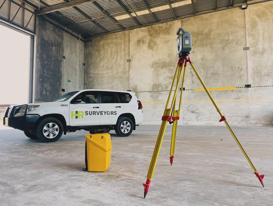
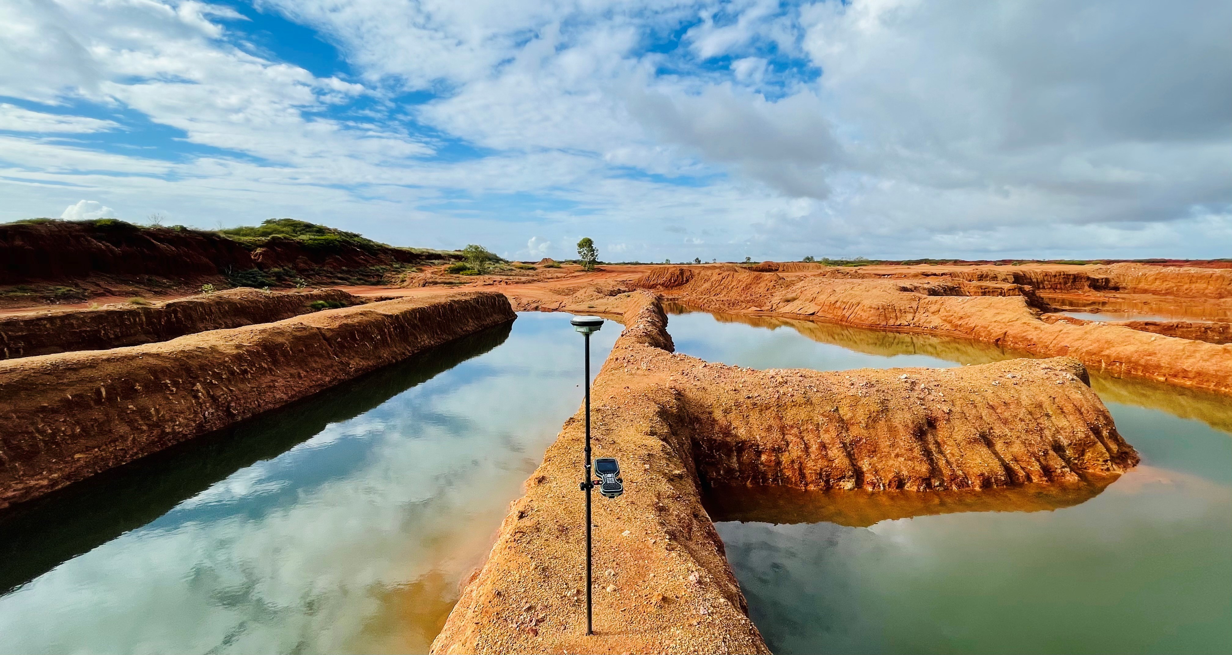
High-accuracy GPS, total stations, and digital mapping systems delivering reliable boundary surveys, subdivisions, and property assessments.
HR Surveyors provides comprehensive land surveying services across all Australian states and territories. Our local teams combine deep understanding of regional regulations with consistent national standards, ensuring accurate boundary definition and reliable property documentation wherever your project is located.
Precise boundary identification and title survey services ensuring accurate property definition and legal compliance. Our comprehensive approach includes historical research, field verification, and detailed documentation for property transactions and development planning.
Complete surveying services for residential, commercial, and industrial property development. From initial feasibility studies through to final subdivision, we provide the surveying foundation for successful property projects.
Specialized surveying for rural properties, agricultural land, and regional developments. Our teams understand the unique challenges of large rural properties and provide practical solutions for agricultural and pastoral operations.
Cadastral survey accuracy meeting all state requirements
High-precision GPS, total stations, digital mapping systems
Compliant with state surveying regulations and standards
A feature and level survey (also called a topographic or F&L survey) captures the physical features of a site — boundaries, existing structures, trees, services, and spot heights — tied to MGA/AHD coordinates. It is required before any development can be designed or approved, forming the accurate baseline the design team works from. Most councils require an F&L survey as part of a development application.
Survey costs depend on site size, terrain, access, and the level of detail required. Key factors include lot dimensions, the extent of existing features to be captured, and whether council requires a specific level of survey control. We provide free, no-obligation quotes based on your specific site — contact us with your address and project type for a prompt estimate.
Most residential feature and level surveys require a single day of fieldwork, with CAD plans delivered within 2–5 business days of the site visit. Larger or more complex sites may require additional fieldwork. For urgent projects we can often prioritise turnaround — contact us to discuss your timeline.
Explore our portfolio of successful projects demonstrating our expertise and precision delivery across diverse challenges.


Ready to see your project delivered with the same precision and expertise?
Start Your ProjectDiscover complementary surveying services often combined with this solution for comprehensive project delivery.
Specialized property surveys for residential, commercial, and industrial developments with detailed boundary definition.
General category services covering the full spectrum of surveying and engineering project requirements.
Enterprise-level land surveying for major property developments and institutional projects.
Many clients choose to combine multiple surveying services for comprehensive project coverage and enhanced value delivery.
Join thousands of satisfied clients who trust HR Surveyors for their most important projects. Get your free consultation today and discover why we're Australia's leading surveying professionals.