Australia's renewable energy aerial survey specialists with CASA-certified drone operations and licensed surveyors. We deliver wind farm LiDAR surveys, solar farm topographic mapping, and transmission corridor inspections for renewable energy developers across all Australian states.
Experience the difference of working with Australia's leading surveying professionals. Precision Delivered since 2012.
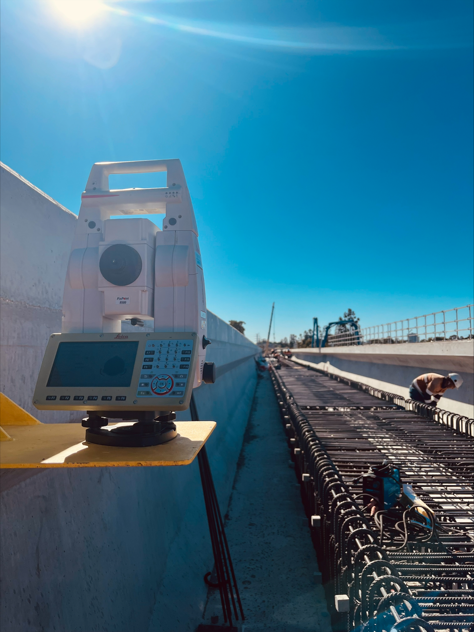
Pioneering drone surveying in Australia with advanced LiDAR and photogrammetry capabilities for rapid, accurate data collection across any terrain.
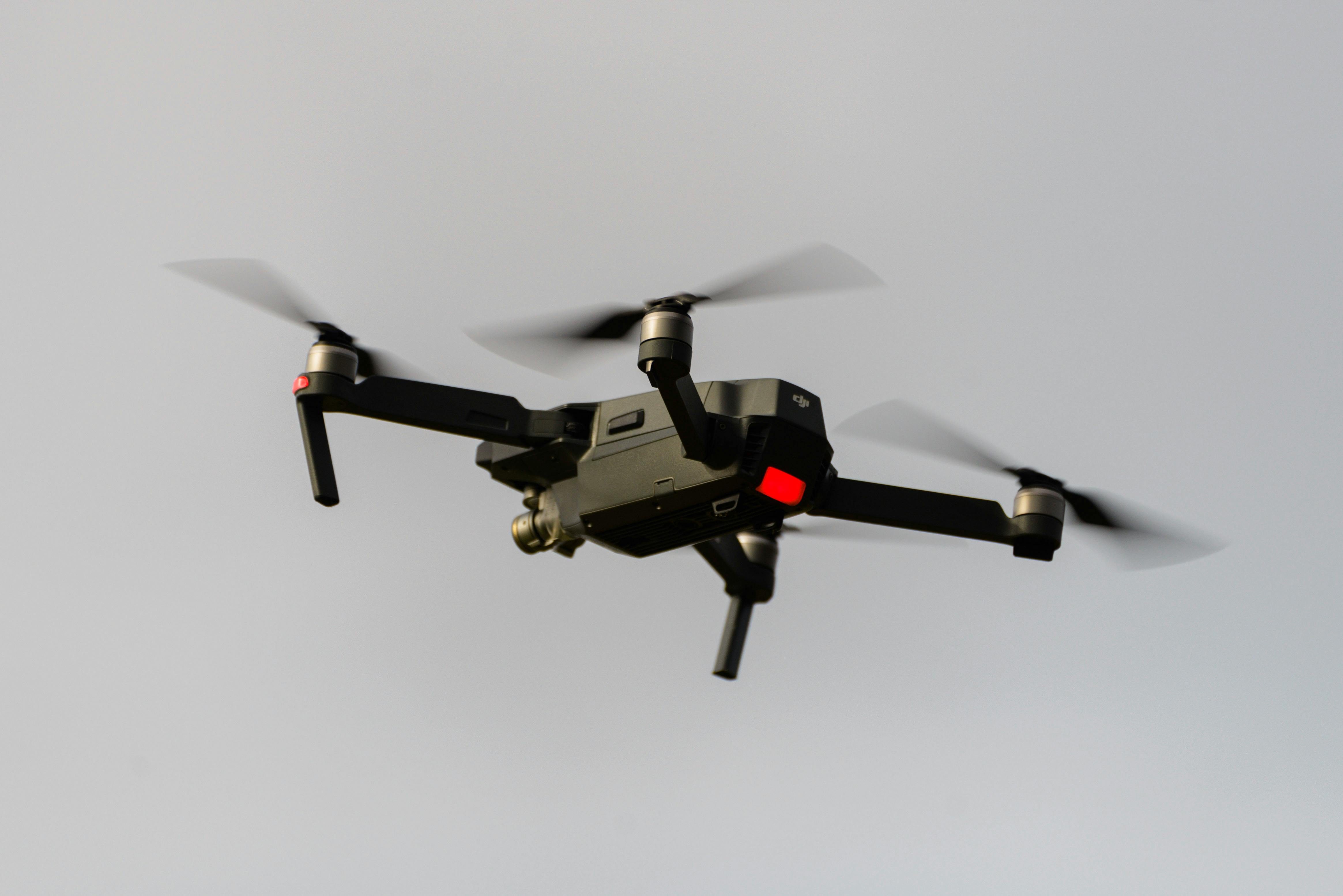
Access challenging or dangerous sites safely with our certified drone pilots and advanced UAV fleet, delivering data where traditional methods can't reach.
State-of-the-art drone LiDAR, high-resolution cameras, and real-time processing delivering detailed topographic maps, 3D models, and volumetric analysis.
HR Surveyors provides specialized aerial survey services for Australia's renewable energy sector, combining CASA-certified drone operations with licensed surveying expertise. Our renewable energy surveys support wind farm development, solar farm construction, and transmission infrastructure projects with accurate topographic data, corridor mapping, and asset inspection capabilities. With offices in Victoria, Queensland, Western Australia, and South Australia, we provide national coverage for renewable energy developers.
Advanced LiDAR and aerial surveys for wind farm development including micro-siting, turbine foundation positioning, and infrastructure mapping. Our drone LiDAR penetrates vegetation for accurate ground models essential for wind farm design and construction.
Comprehensive aerial surveying for solar farm development from greenfield site assessment through to construction monitoring. Our topographic surveys support array layout, grading plans, and infrastructure integration with survey-grade accuracy.
Aerial mapping for renewable energy transmission infrastructure including wind farm collector systems, solar farm grid connections, and transmission line routes. Our corridor surveys deliver terrain data, vegetation clearance, and asset locations.
Aerial inspections of wind turbine blades, towers, and infrastructure using high-resolution cameras and thermal imaging. Our CASA-certified operations provide safe, efficient turbine inspections reducing downtime and safety risks.
Topographic surveys for wind resource assessment and micro-siting studies. Our LiDAR data provides accurate terrain models for wind flow modeling and optimal turbine positioning.
Regular aerial surveys for solar farm construction progress including earthworks quantification, array installation tracking, and infrastructure verification. Our monitoring supports quality control and payment claims.
Aerial surveying for battery energy storage system (BESS) development including site assessment, topographic mapping, and construction monitoring across diverse locations in the National Electricity Market.
Aerial surveying support for hydroelectric projects and emerging renewable technologies including pumped hydro assessment and innovative renewable energy installations across varied Australian terrains.
Our team has experience surveying wind farms across Australia including Golden Plains Wind Farm in Victoria and various wind energy projects in development stages. We understand the specific requirements for:
Comprehensive aerial surveying support for utility-scale solar and renewable energy transmission infrastructure:
Explore our portfolio of successful projects demonstrating our expertise and precision delivery across diverse challenges.


Includes Beckenham, Carlisle, Queens Park, Cannington, and Oats Street Stations


Ready to see your project delivered with the same precision and expertise?
Start Your ProjectDiscover complementary surveying services often combined with this solution for comprehensive project delivery.
LiDAR surveys for renewable energy projects including wind farm micro-siting and solar farm mapping.
Full-service drone surveying for renewable energy developers across Australia.
Construction monitoring for renewable energy infrastructure including transmission and battery storage.
Many clients choose to combine multiple surveying services for comprehensive project coverage and enhanced value delivery.
Get professional aerial surveys for your renewable energy project. Our licensed surveyors and CASA-certified drone operations support wind farms, solar farms, and transmission infrastructure across Australia.
Get Renewable Energy Survey Quote