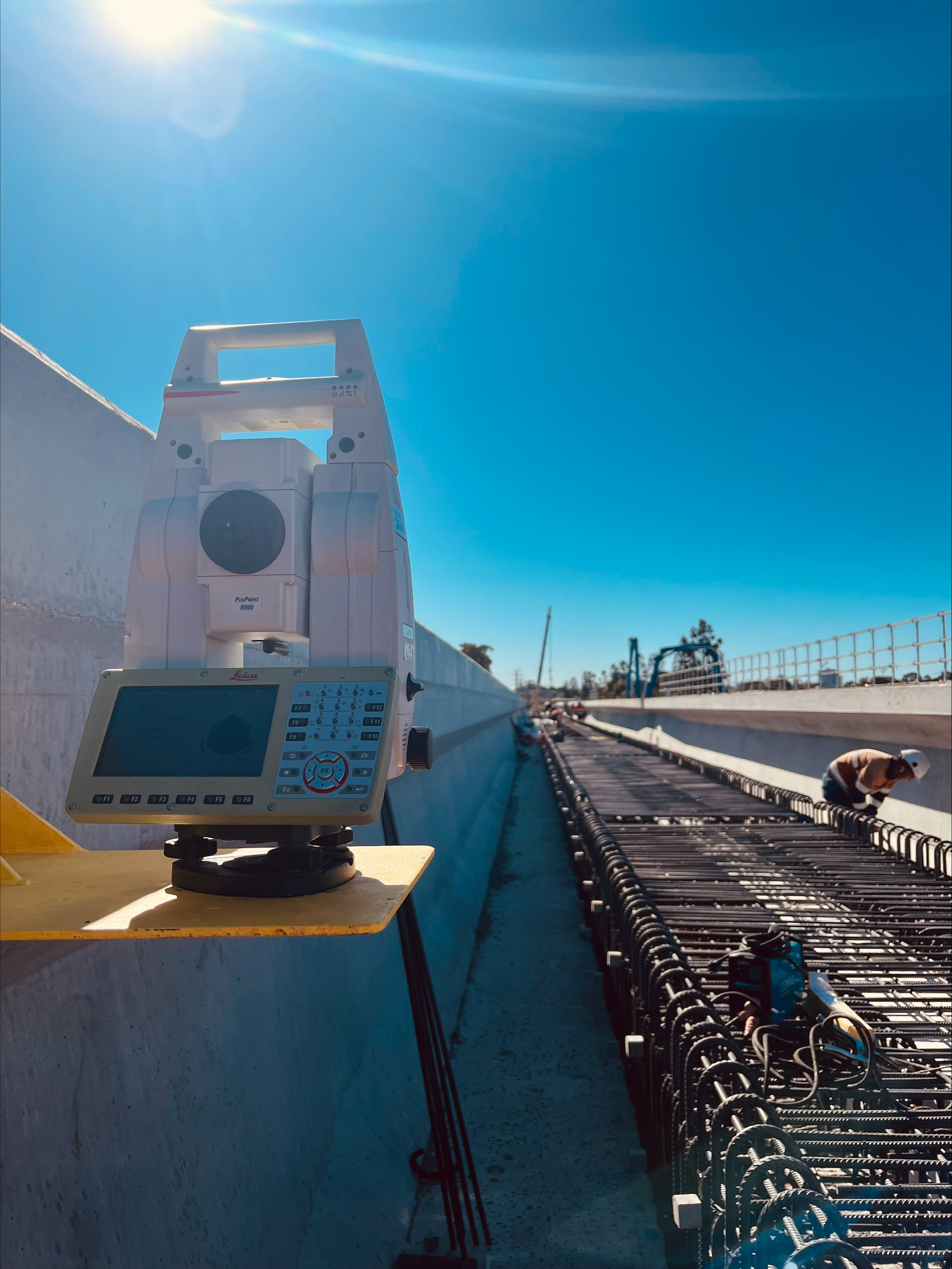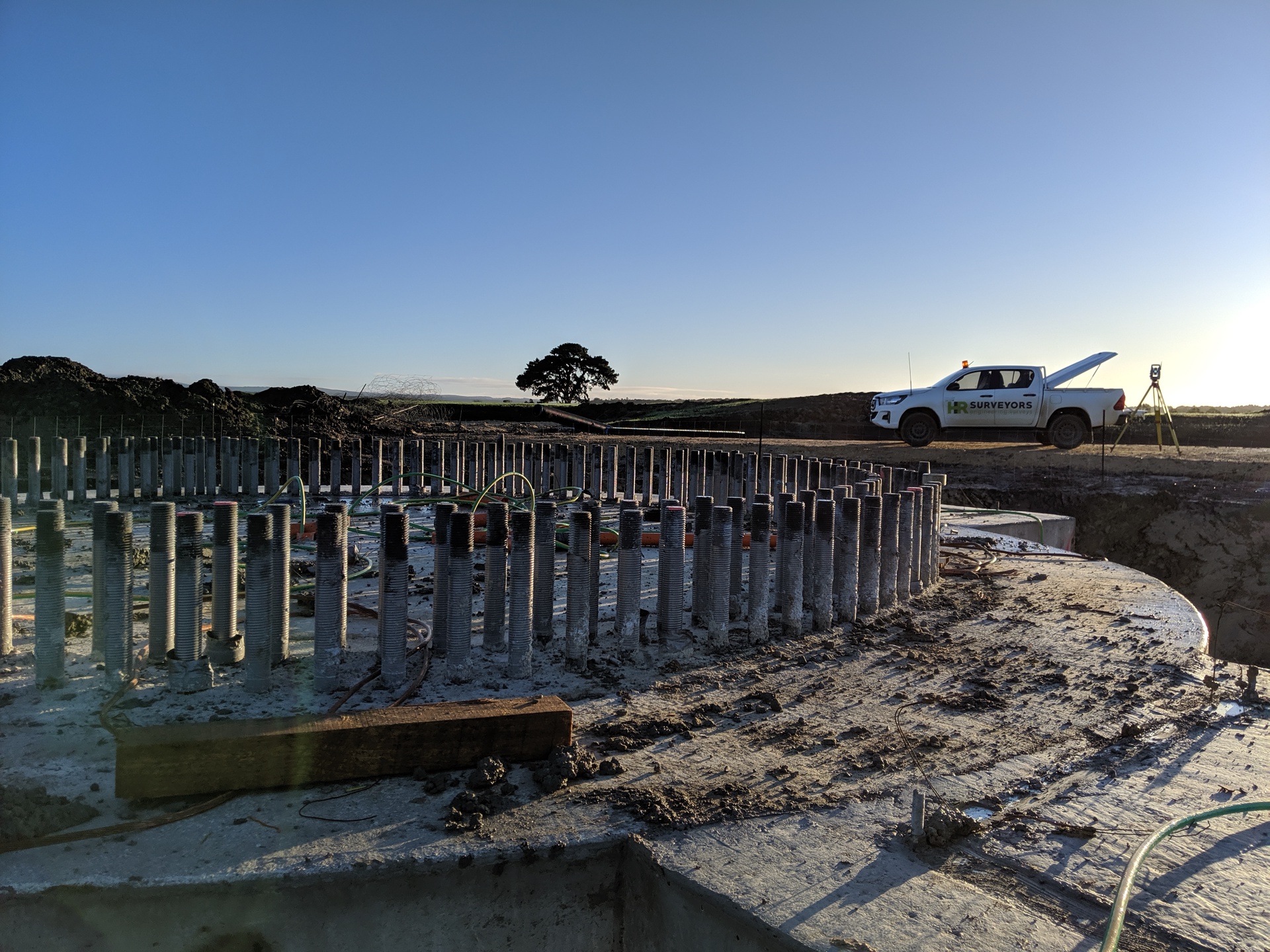
Engineering survey support for South Australia's resources, renewables and Spencer Gulf and mid-north infrastructure. From our Edinburgh North office we mobilise crews for set-out, drone volumetrics, conformance and as-built data on regional SA sites.
Experience the difference of working with Australia's leading surveying professionals. Precision Delivered since 2012.
Since 2012, we've delivered precision engineering surveys for Australia's most complex infrastructure projects, from high-rise developments to major civil works.
With 5 strategic office locations and 70+ qualified professionals, we provide comprehensive engineering surveying services across all major Australian markets.
Advanced 3D scanning, UAV LiDAR, and real-time GPS systems ensure millimetre accuracy for your engineering projects, reducing risks and delays.
South Australia's resources and renewables build-out, from the Upper Spencer Gulf to the mid-north, is generating sustained engineering and infrastructure survey demand. HR Surveyors provides engineering survey support for these regional projects from our office at 28 Peachey Road, Edinburgh North, backed by 70+ qualified professionals and 12+ years of practice since 2012. We deliver set-out and control, CASA-compliant drone volumetrics and surface mapping, conformance reporting and as-constructed data, all tied to MGA2020/AHD under ISO 9001. This is construction and infrastructure survey support for resources, energy and heavy-civil sites, not cadastral or boundary work.
We establish control networks and set out civil and facility works for regional SA resources, energy and infrastructure sites. Control tied to MGA2020/AHD keeps survey crews, machine-guided plant and design models aligned across large and remote work fronts.
Our CASA-compliant RePL/ReOC drone operations capture volumetrics, surface mapping and progress data efficiently across broad-area sites. Combining UAV LiDAR and photogrammetry with ground control delivers accurate volumes and terrain models for stockpiles, earthworks and site progress.
We provide conformance reporting and as-constructed data handling for major regional projects, validated against design and datum. Reliable conformance and handover documentation supports principal contractors and asset owners through staged delivery and project close-out.
Regional-scale control and volumetrics suitable for resources, renewables and heavy-civil sites
RTK GNSS, Leica total stations, digital levels and UAV LiDAR/photogrammetry platforms
MGA2020/AHD control with CASA-compliant RePL/ReOC drone operations, under ISO 9001
We provide construction and infrastructure survey support, including control networks, set-out for civil and facility works, drone volumetrics and surface mapping, conformance reporting and as-constructed data. This suits resources, wind, solar, battery storage and heavy-civil sites across regional South Australia. Everything is tied to MGA2020/AHD under ISO 9001, with drone work flown under CASA-compliant RePL/ReOC operations. This is engineering-spatial work for construction and infrastructure delivery, not cadastral or legal-boundary surveying, which we do not provide.
On broad-area regional sites we pair UAV LiDAR and photogrammetry with ground survey control. The drone captures surface and volumetric data quickly across large areas, while ground control and total-station or GNSS work tie that data to the correct MGA2020/AHD datum and verify accuracy where it matters. The combination gives efficient site-wide coverage for volumes, terrain models and progress, alongside precise control for set-out and conformance. CASA-compliant operations keep the aerial capture safe and legal on resources and energy sites.
Yes. Our Edinburgh North office coordinates South Australian work and regional mobilisation, including Spencer Gulf and mid-north sites. With 70+ professionals across five offices we can resource crews, drone capture and data processing to fit regional project programs, including staged and remote work fronts. Demand across these resources and renewables projects is building, and we plan mobilisation around site access, timing and program stages. Contact us with your project location and scope for a free, no-obligation discussion.
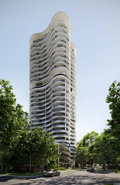
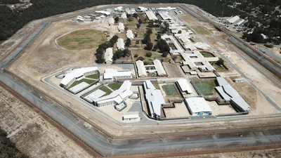
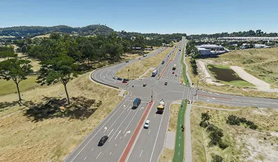
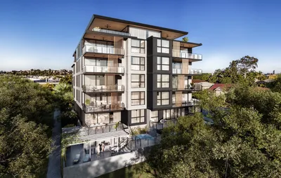
Explore our portfolio of successful projects demonstrating our expertise and precision delivery across diverse challenges.


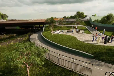
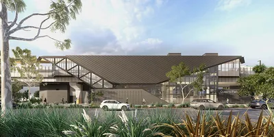
Includes Beckenham, Carlisle, Queens Park, Cannington, and Oats Street Stations
Ready to see your project delivered with the same precision and expertise?
Start Your ProjectDiscover complementary surveying services often combined with this solution for comprehensive project delivery.
Construction and infrastructure engineering surveying for Adelaide and South Australian projects.
Survey support for wind, solar and battery storage projects, including drone mapping and conformance.
Control, set-out and as-constructed data for heavy-civil and infrastructure works across SA.
Many clients choose to combine multiple surveying services for comprehensive project coverage and enhanced value delivery.
Join thousands of satisfied clients who trust HR Surveyors for their most important projects. Get your free consultation today and discover why we're Australia's leading surveying professionals.