How drone surveying works, what it costs, and when to use it instead of traditional methods
12+
Years Experience
CASA
Approved
Advanced
LiDAR Tech
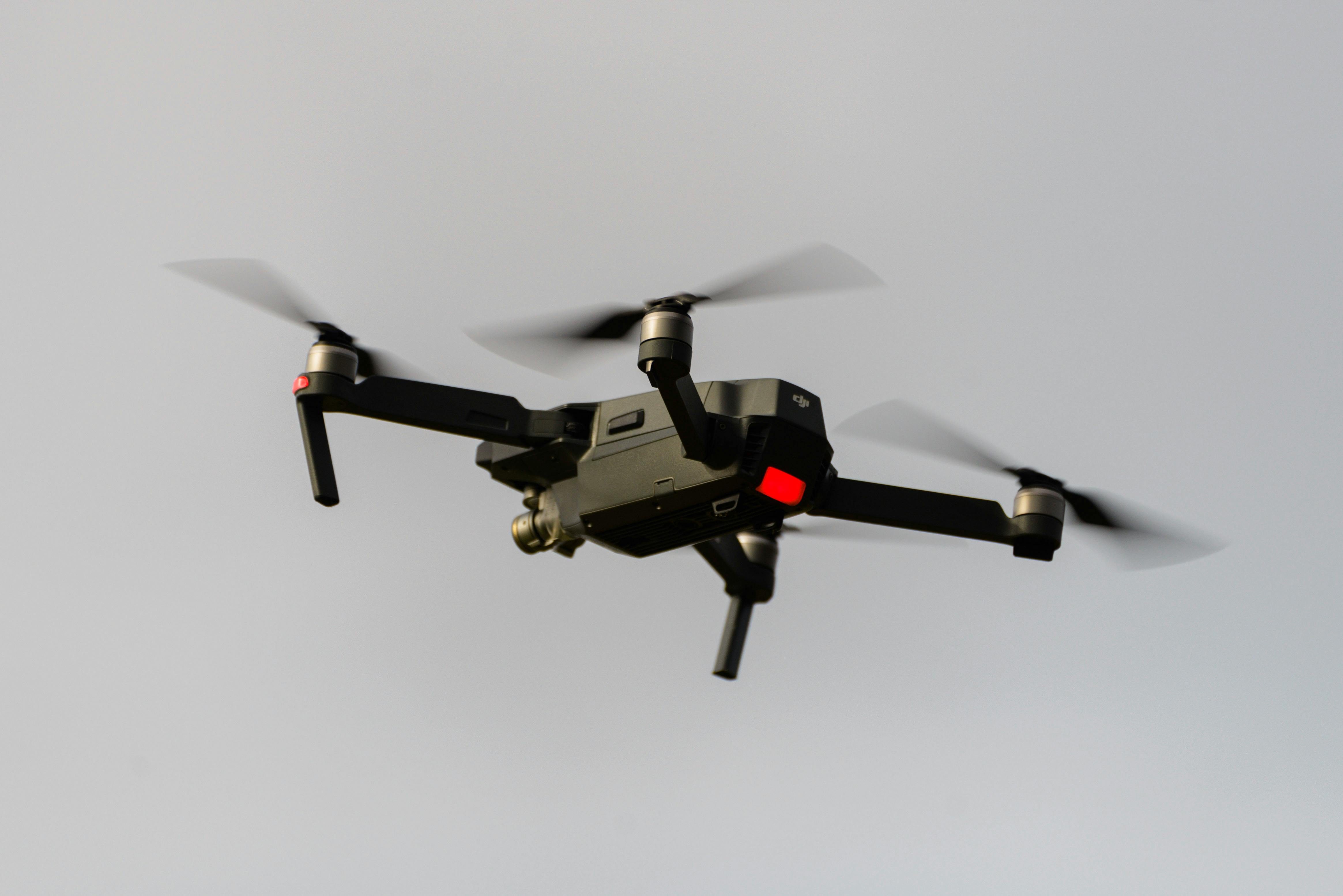
Advanced drone technology delivering precision surveying across Australian projects
Drone surveying uses unmanned aerial vehicles (UAVs) equipped with cameras or LiDAR sensors to capture spatial data from the air. Surveyors process this data to produce accurate maps, 3D models, and measurements for construction, mining, and infrastructure projects.
In Australia, commercial drone operations must comply with CASA (Civil Aviation Safety Authority) regulations. Professional operators hold Remote Pilot Licences (RePL) or operate under Remote Operator's Certificates (ReOC). Read our complete drone surveying guide for a full technical breakdown, or learn about our team qualifications.
Drone-mounted cameras capture overlapping images that software stitches together to create orthomosaics, digital surface models, and 3D point clouds. Achieves 2–5cm accuracy with ground control points.
LiDAR-equipped drones emit laser pulses to generate dense point clouds. They penetrate vegetation to capture ground terrain, achieving 1–3cm vertical accuracy. Ideal for forested sites and detailed terrain modeling.
Specialized software processes raw drone data into survey-ready deliverables: orthomosaic maps, digital elevation models, contour lines, volumetric calculations, and 3D models for engineering applications.
Our professional drone surveying methodology combines state-of-the-art UAV technology with LiDAR systems and high-resolution imaging to deliver comprehensive aerial data collection and analysis. This integrated approach provides accurate topographical surveys, detailed aerial documentation, and precise 3D modeling capabilities, fully integrated within our comprehensive UAV surveying services framework.
Captures ground terrain beneath vegetation canopy. Produces digital elevation models, contour maps, and volumetric calculations for earthworks and mining applications.
High-resolution orthomosaic maps for site documentation, progress monitoring, and design comparison. Imagery can be georeferenced for CAD and GIS integration.
Detailed terrain and structure models for visual analysis, cut/fill calculations, and project planning. Useful for client presentations and design verification.
Monthly earthworks volume tracking, progress documentation, and as-built surveys for subdivision and commercial projects.
Stockpile volume measurements, pit progression monitoring, and rehabilitation tracking for resource operations.
Road and rail corridor surveys, bridge inspection, and pipeline route documentation.
Comprehensive insights into professional drone surveying methodology and applications across Australian projects.
Read Professional Guide →Meet our specialized drone surveying professionals and their technical qualifications for Australian UAV operations.
Meet Our Specialists →Explore our comprehensive drone surveying services and technology integration capabilities.
View UAV Services →Need a drone survey for your Australian project? Contact HR Surveyors to discuss your requirements. We provide quotes based on site size, sensor requirements, and turnaround time.
$500–$1,500 per survey
$1,500–$5,000 per survey
$5,000+ per survey