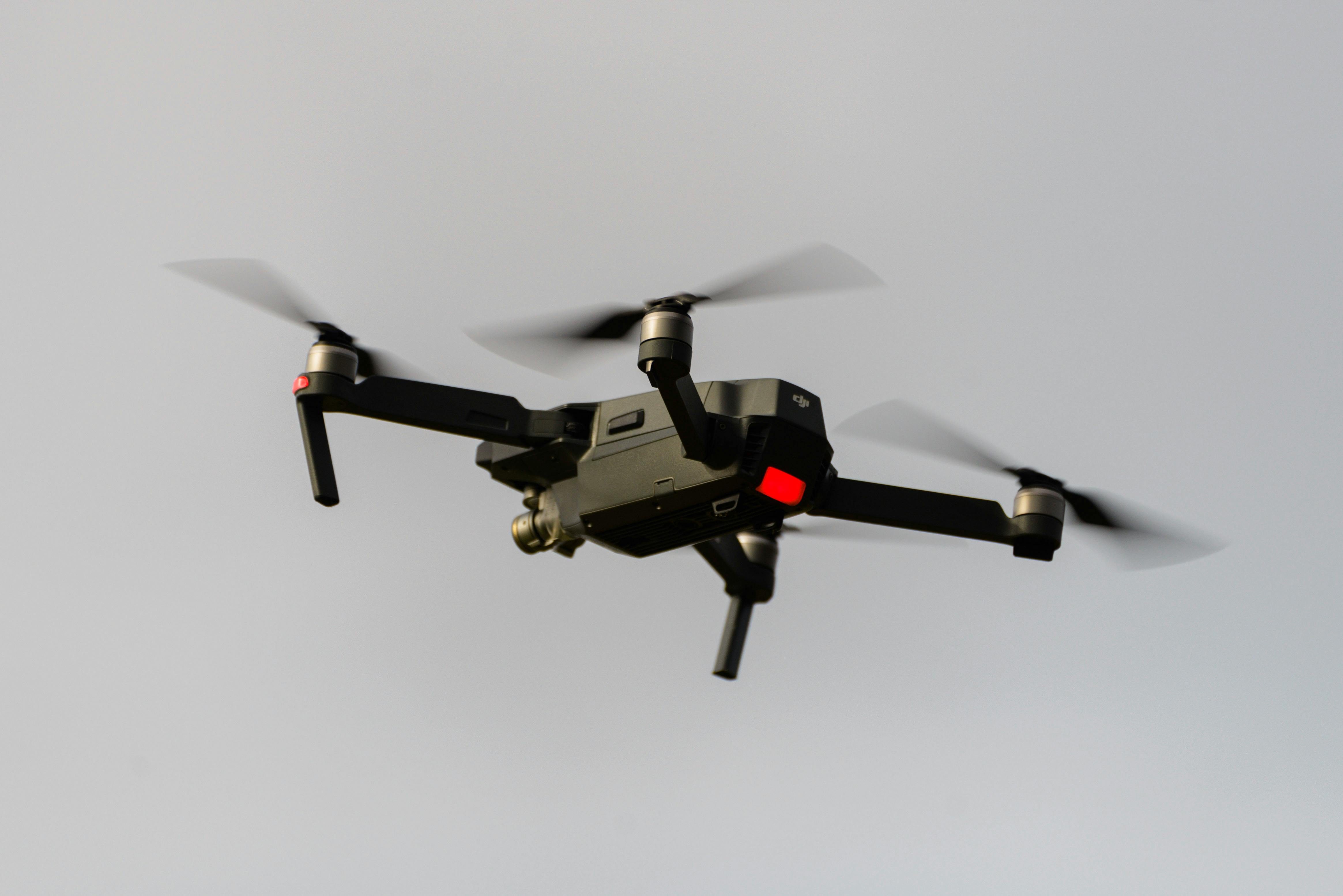
Our professional drone surveying melbourne services deliver high-precision aerial mapping and data collection for engineering, construction, and mining projects. Using advanced UAV technology with LiDAR capabilities, we provide accurate topographical surveys, volumetric calculations, and detailed 3D terrain models.
Experience fast, accurate, and cost-effective surveying solutions from our local Melbourne team.
Our team provides expert drone surveying melbourne for construction site monitoring projects throughout Melbourne.
Our team provides expert drone surveying melbourne for mining and quarry operations projects throughout Melbourne.
Our team provides expert drone surveying melbourne for infrastructure development projects throughout Melbourne.
Our team provides expert drone surveying melbourne for environmental assessment projects throughout Melbourne.
Our team provides expert drone surveying melbourne for land development and planning projects throughout Melbourne.
Professional surveying services across Melbourne and Eastern Victoria. Our Clayton office serves the Greater Melbourne area with comprehensive engineering and construction survey solutions.
Contact our local Melbourne team for a consultation and discover how our surveying expertise can help with your next project.
Request a Quote