Advanced drone contour mapping services delivering precise topographic data and 3D terrain models. Our UAV technology provides accurate elevation mapping, contour generation, and detailed terrain analysis for construction, mining, and environmental projects.
Experience the difference of working with Australia's leading surveying professionals. Precision Delivered since 2012.
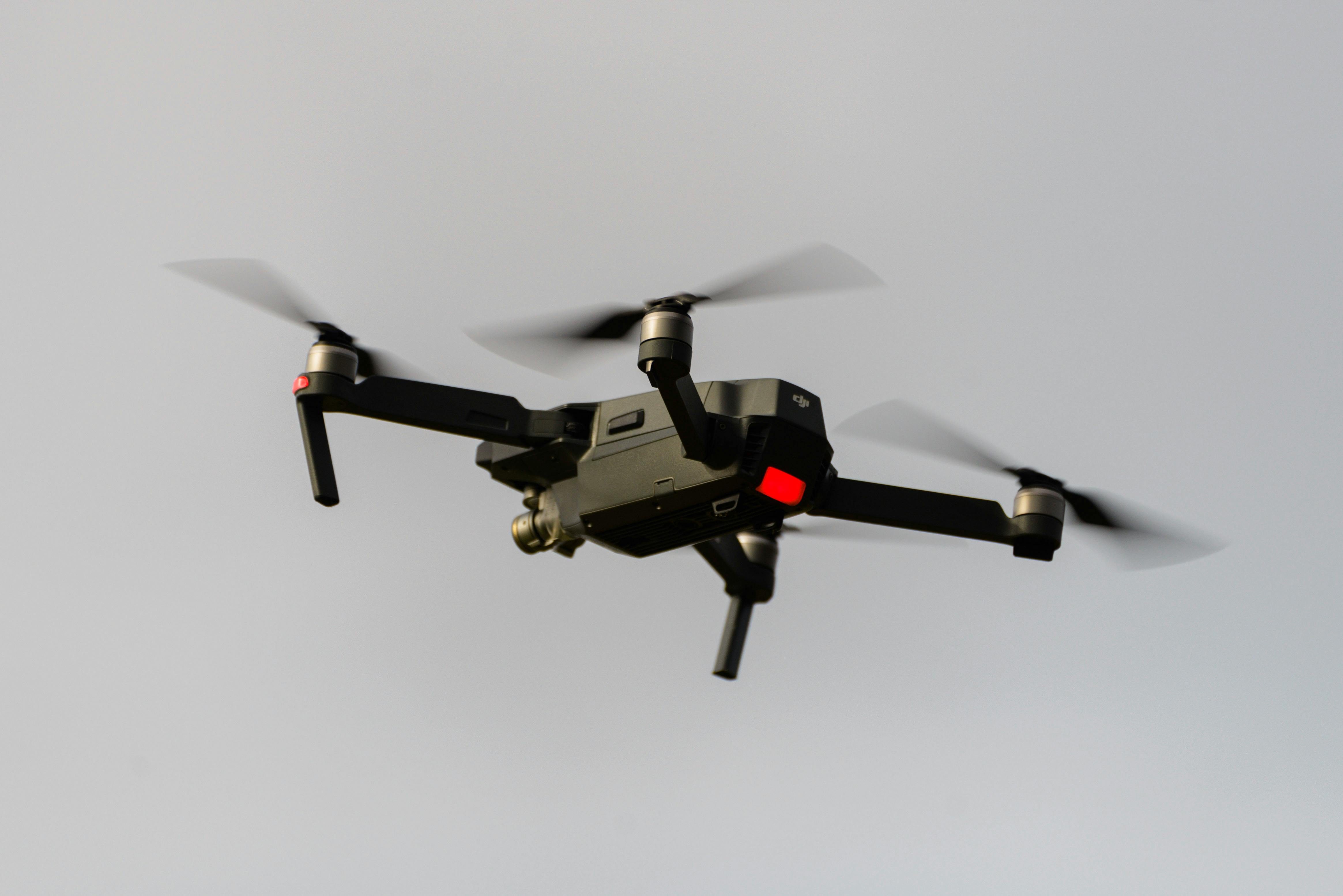
Pioneering drone surveying in Australia with advanced LiDAR and photogrammetry capabilities for rapid, accurate data collection across any terrain.
Access challenging or dangerous sites safely with our certified drone pilots and advanced UAV fleet, delivering data where traditional methods can't reach.
State-of-the-art drone LiDAR, high-resolution cameras, and real-time processing delivering detailed topographic maps, 3D models, and volumetric analysis.
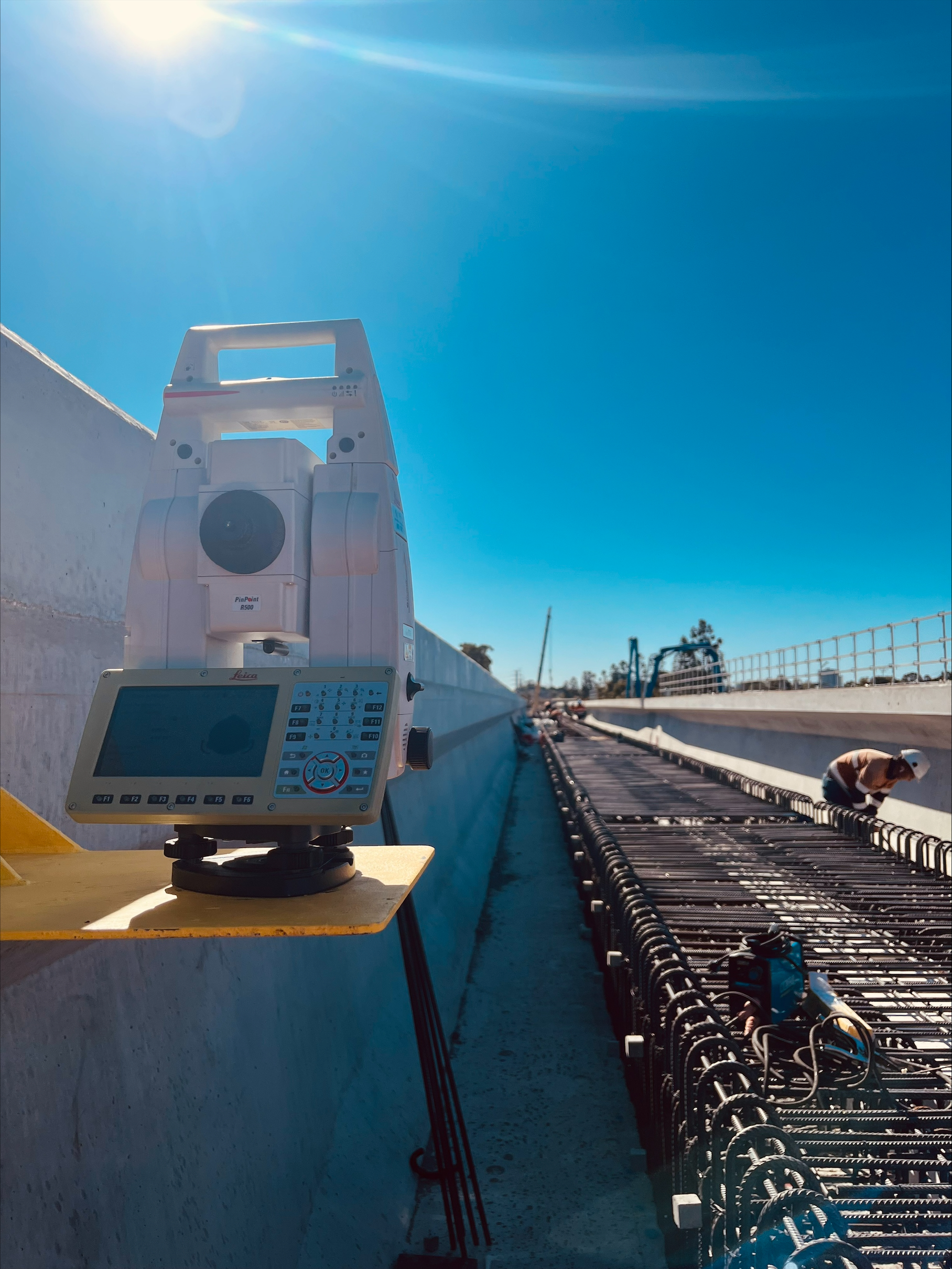
HR Surveyors provides professional contour mapping services using advanced drone technology and UAV LiDAR systems. Our contour map drone services deliver accurate topographic data, detailed elevation models, and precise contour mapping for construction planning, mining operations, environmental assessments, and land development projects. Using state-of-the-art UAV platforms with RTK GPS accuracy, we generate high-resolution contour maps and 3D terrain models that provide essential information for project planning and design.
High-precision topographic mapping using advanced drone technology. Our UAV systems capture detailed elevation data across large areas, generating accurate contour maps and digital terrain models for construction planning and land development projects.
Comprehensive 3D terrain modeling services using drone LiDAR and photogrammetry. We create detailed elevation models, slope analysis, and volumetric calculations essential for earthworks planning, drainage design, and site development.
Professional contour map generation with customizable contour intervals and detailed elevation analysis. Our drone-based contour mapping provides the accuracy needed for engineering design, flood modeling, and environmental impact assessments.
Centimeter-level vertical accuracy with RTK GPS correction
Professional UAV platforms, LiDAR sensors, high-resolution cameras
Survey-grade accuracy meeting Australian standards
Explore our portfolio of successful projects demonstrating our expertise and precision delivery across diverse challenges.


Includes Beckenham, Carlisle, Queens Park, Cannington, and Oats Street Stations


Ready to see your project delivered with the same precision and expertise?
Start Your ProjectTransform your project planning with precise drone contour mapping. Our UAV technology delivers the accurate topographic data and 3D terrain models essential for successful project outcomes.