Australia's construction drone survey specialists with CASA-certified UAV operations and licensed surveyors. We deliver construction progress monitoring, earthworks volumetrics, and as-built documentation for building and infrastructure projects across all Australian states with regular survey cycles and verified accuracy.
Experience the difference of working with Australia's leading surveying professionals. Precision Delivered since 2012.
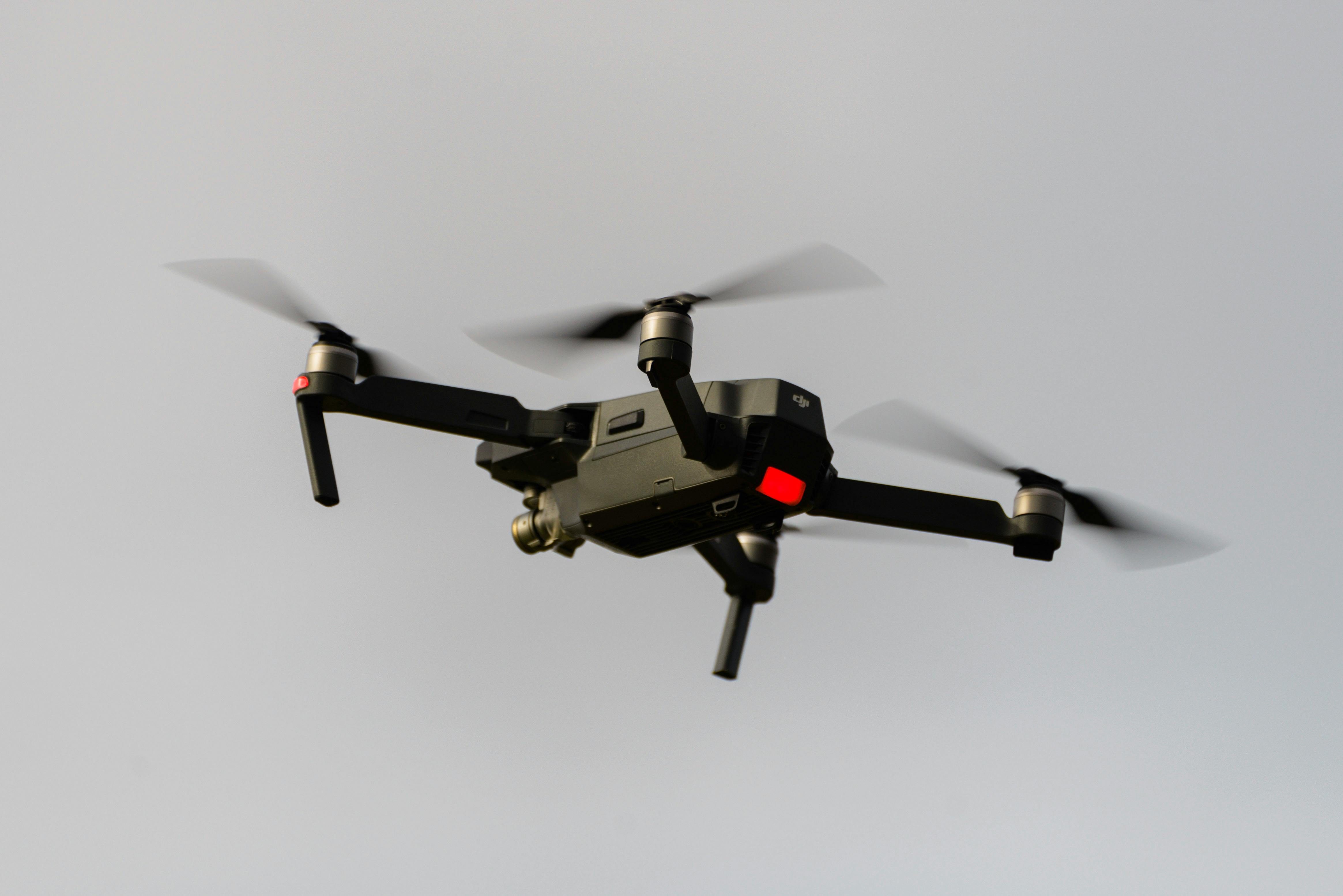
Pioneering drone surveying in Australia with advanced LiDAR and photogrammetry capabilities for rapid, accurate data collection across any terrain.
Access challenging or dangerous sites safely with our certified drone pilots and advanced UAV fleet, delivering data where traditional methods can't reach.
State-of-the-art drone LiDAR, high-resolution cameras, and real-time processing delivering detailed topographic maps, 3D models, and volumetric analysis.
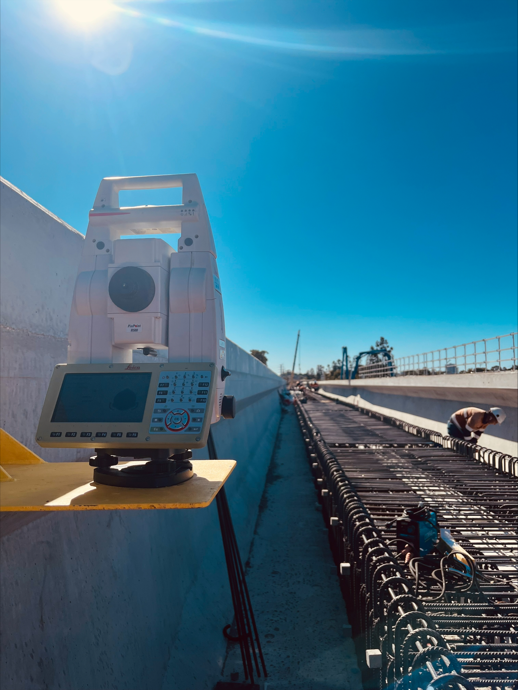
HR Surveyors provides professional construction drone survey services across Australia, combining CASA-certified UAV operations with licensed surveying expertise for verified accuracy in construction documentation. Our drone surveys support construction progress monitoring, earthworks quantification, and as-built verification for high-rise buildings, infrastructure projects, and residential developments. Unlike standalone drone operators, our licensed surveyors integrate aerial data with traditional set-out and survey methods for comprehensive project documentation.
Regular aerial surveys for construction progress documentation including photo and video progress records, orthophoto mapping, and 3D site models. Our drone monitoring supports stakeholder communication, progress claims, and project management with professional survey verification.
Earthworks volume monitoring and quantification for construction projects including cut/fill analysis, imported material tracking, and earthworks reconciliation. Our regular aerial surveys support accurate earthworks management without disrupting site operations.
Comprehensive site surveying for construction planning and monitoring including topographic surveys, site analysis, and construction layout verification. Our drone operations deliver rapid data collection for large and complex construction sites.
As-built documentation using drone photogrammetry and LiDAR for construction completion records. Our surveys deliver accurate 3D models and documentation for practical completion and asset handover.
Aerial monitoring of high-rise construction projects including floor-by-floor progress, facade documentation, and site logistics mapping. Our drone surveys capture building progress from unique angles supporting project management and marketing.
Drone surveying for infrastructure construction including roads, bridges, railways, and utilities. Our aerial surveys support corridor mapping, earthworks monitoring, and construction verification for major infrastructure projects.
Earthworks monitoring for civil construction including subdivision earthworks, bulk excavation, and landscaping. Our regular drone surveys provide accurate volume tracking and progress documentation throughout earthworks phases.
Aerial surveying for residential development projects including estate earthworks, lot titling support, and infrastructure verification. Our drone operations efficiently monitor large residential developments.
Explore our portfolio of successful projects demonstrating our expertise and precision delivery across diverse challenges.


Includes Beckenham, Carlisle, Queens Park, Cannington, and Oats Street Stations


Ready to see your project delivered with the same precision and expertise?
Start Your ProjectDiscover complementary surveying services often combined with this solution for comprehensive project delivery.
Comprehensive drone surveying for construction with progress monitoring and as-built documentation.
Earthworks and material stockpile surveys for construction projects with volumetric tracking.
Traditional engineering surveys integrated with drone monitoring for comprehensive construction support.
Many clients choose to combine multiple surveying services for comprehensive project coverage and enhanced value delivery.
Get accurate construction surveys from licensed surveyors with CASA-certified drone operations. We deliver progress monitoring, earthworks quantification, and as-built documentation for construction projects across Australia.
Get Construction Survey Quote