Professional utility surveys in Newtown for construction, development, and infrastructure projects. Underground service detection and subsurface mapping with precise location and depth measurements.
Our utility surveys in Newtown provide comprehensive underground service detection for safe construction, development, and infrastructure projects.
Power line detection
Locate underground electrical cables, power lines, and electrical infrastructure with electromagnetic detection and Ground Penetrating Radar (GPR).
Pipeline detection
Professional detection of gas pipes, water mains, sewer lines, and other underground utilities with precise depth and location measurements.
Fiber optic location
Locate telecommunications cables, fiber optic lines, and data infrastructure to prevent service disruption during excavation work.
Drainage mapping
Map underground stormwater systems, drainage pipes, and stormwater infrastructure for development and construction planning.
Subsurface imaging
Advanced GPR technology for non-invasive subsurface investigation, detecting utilities that cannot be found with electromagnetic methods.
CAD deliverables
Detailed utility mapping with CAD drawings, as-built documentation, and comprehensive reports for project planning and compliance.
Our utility surveys in Newtown utilize the latest detection technology for accurate and comprehensive underground service location.
Professional electromagnetic detection systems locate metallic utilities including electrical cables, water pipes, and gas lines. Our equipment provides precise location and depth measurements for safe excavation planning.
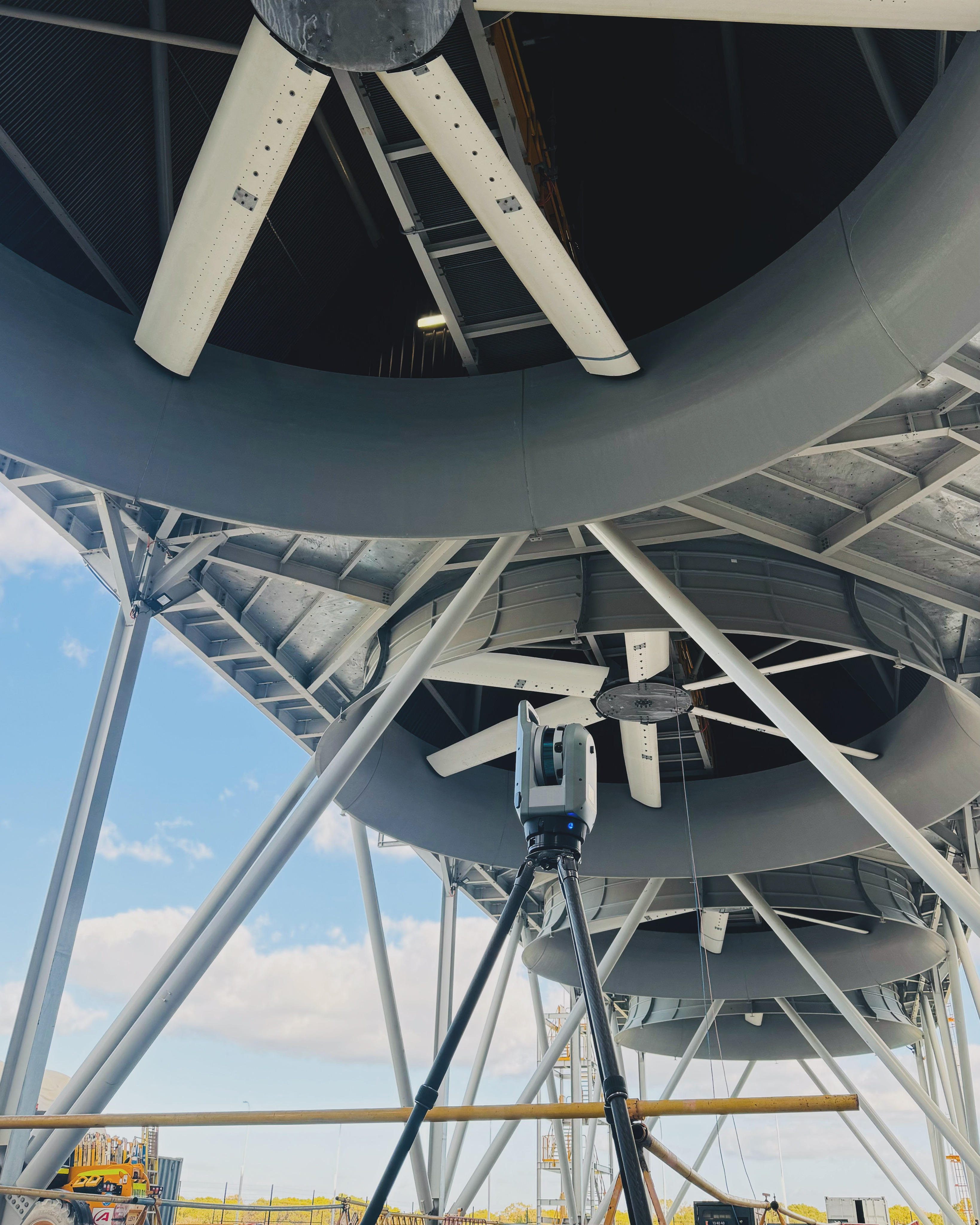
GPR technology provides non-invasive subsurface imaging to detect non-metallic utilities, underground storage tanks, and objects that cannot be found with electromagnetic methods.
All utility locations are referenced to survey control networks with high-precision GPS, ensuring accurate positioning within the project coordinate system.
Comprehensive documentation includes CAD drawings, utility location reports, depth measurements, and recommendations for safe excavation and construction.
Professional utility surveys support various project types in Newtown, ensuring safe construction and development with comprehensive underground service information.
Utility surveys are essential for safe construction in Newtown, preventing utility strikes during excavation and foundation work.
Infrastructure projects require comprehensive utility mapping for road upgrades, utility relocations, and streetscape improvements.
Development projects in Newtown benefit from detailed utility surveys for planning, design, and compliance with local regulations.
Rapid utility surveys support emergency response situations, helping locate underground services during utility strikes or service disruptions.
Utility surveys are essential for construction safety and project success. They prevent utility strikes during excavation, ensure worker safety, avoid costly project delays, and ensure compliance with local regulations. Professional utility surveys provide precise location and depth information for all underground services.
Professional utility surveys detect electrical cables, gas pipes, water mains, sewer lines, telecommunications cables, fiber optic lines, stormwater systems, drainage pipes, and other underground infrastructure. Advanced detection methods ensure comprehensive coverage of all utility types.
Utility surveys achieve high accuracy with precise location measurements typically within ±50mm horizontally and ±100mm vertically, depending on ground conditions and utility type. GPS integration ensures accurate positioning within project coordinate systems for construction planning.
Utility surveys use electromagnetic detection for metallic utilities, Ground Penetrating Radar (GPR) for non-metallic services, signal transmitters for active line tracing, and GPS for precise positioning. Multiple detection methods ensure comprehensive utility coverage.
Survey duration depends on site size and complexity. Residential utility surveys typically take 2-4 hours, while commercial or industrial sites may require a full day or more. Emergency surveys can be completed rapidly with same-day results available.
Let us bring precision to your next engineering challenge.
Get in Touch →