Precision DTM and Feature Surveys for development and construction projects across the Cranbourne region.
A Digital Terrain Model (DTM) is a crucial step in the planning of any development project in Cranbourne, whether for a new subdivision or major construction endeavor. From our office at 12 Distribution Circuit, Huntingdale, we provide essential data that forms the foundation for accurate design before construction begins, ensuring your project is built on a framework of precision.
Our expertise in 3D surfaces enables us to create highly accurate Digital Terrain Models tailored to your project's specific requirements in the Cranbourne area. By converting machine control files, localizations, and leveraging advanced survey data, we develop comprehensive DTMs that form the foundation for accurate design and construction.
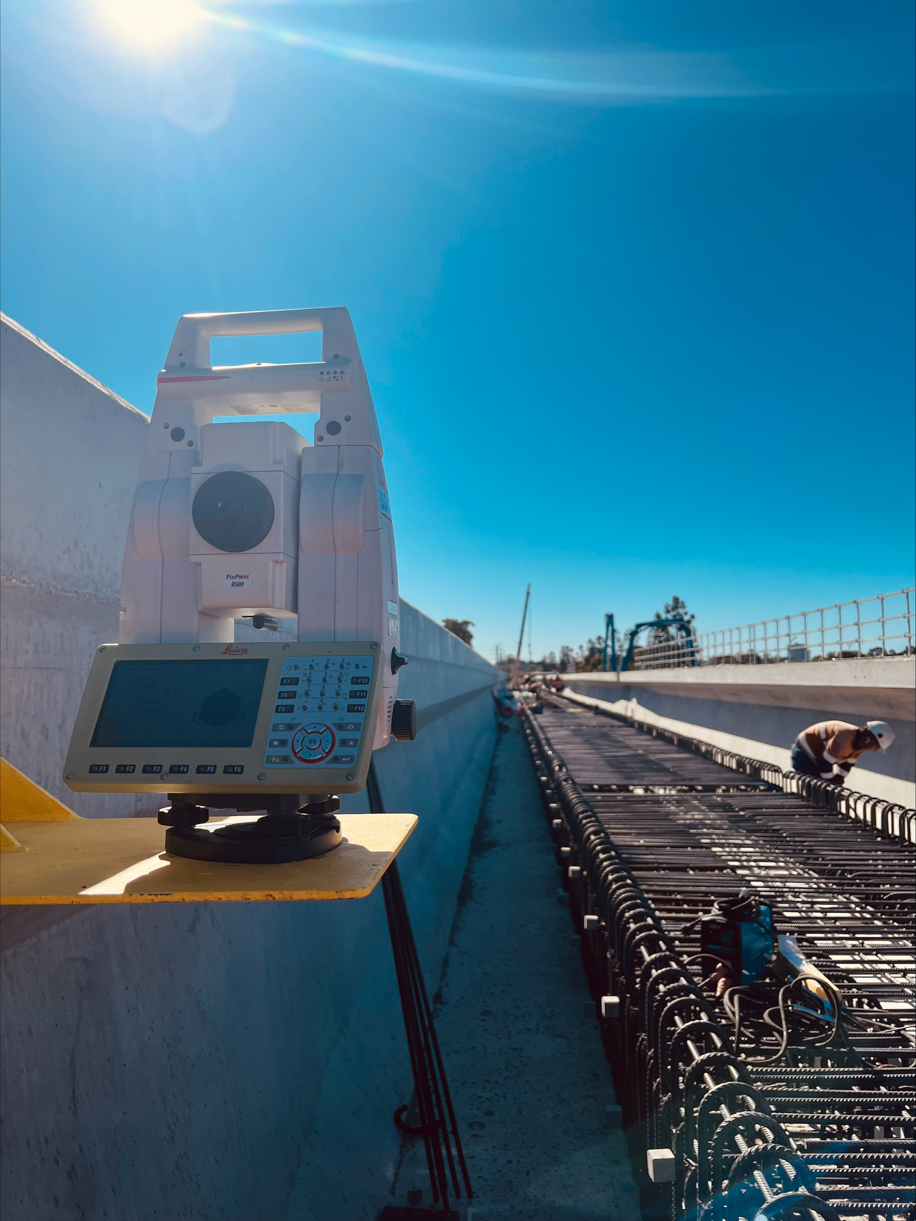
A Feature and Level survey is a crucial first step for creating an accurate DTM. We establish precise survey control to a local datum or MGA/AHD from the outset, ensuring continuity and adherence to standards throughout every aspect of the development process in Cranbourne.
By deploying advanced UAVs and LiDAR technology, we capture high-resolution aerial imagery and point cloud data. This allows us to efficiently survey large or complex sites in the Cranbourne region, providing a rich dataset for creating detailed and accurate digital terrain models.
We design intricate 3D drainage systems and other models for machine control. The DTMs we produce integrate seamlessly with on-site GPS-guided machinery, ensuring earthworks and construction activities are carried out with maximum precision and efficiency.
Yes. We deliver Digital Terrain Model surveys for projects in the Cranbourne region, supported by feature and level surveys and advanced UAV & LiDAR data capture.
Establishing precise survey control and conducting feature and level surveys are crucial first steps before generating the DTM.
Yes. We design 3D data for machine control so on‑site GPS‑guided machinery can work from accurate surface models.
12 Distribution Circuit, Huntingdale
Let us bring precision to your next engineering challenge.
Get in Touch →