Total Stations vs GNSS Accuracy: Understanding Survey Equipment and Their Best Applications
Surveying is a critical component of construction, engineering, and land development projects. To achieve the highest level of accuracy, surveyors rely on advanced tools such as Total Stations and GNSS (Global Navigation Satellite System) technology. While both are indispensable in modern surveying, each has unique strengths and limitations that make them suitable for specific tasks.
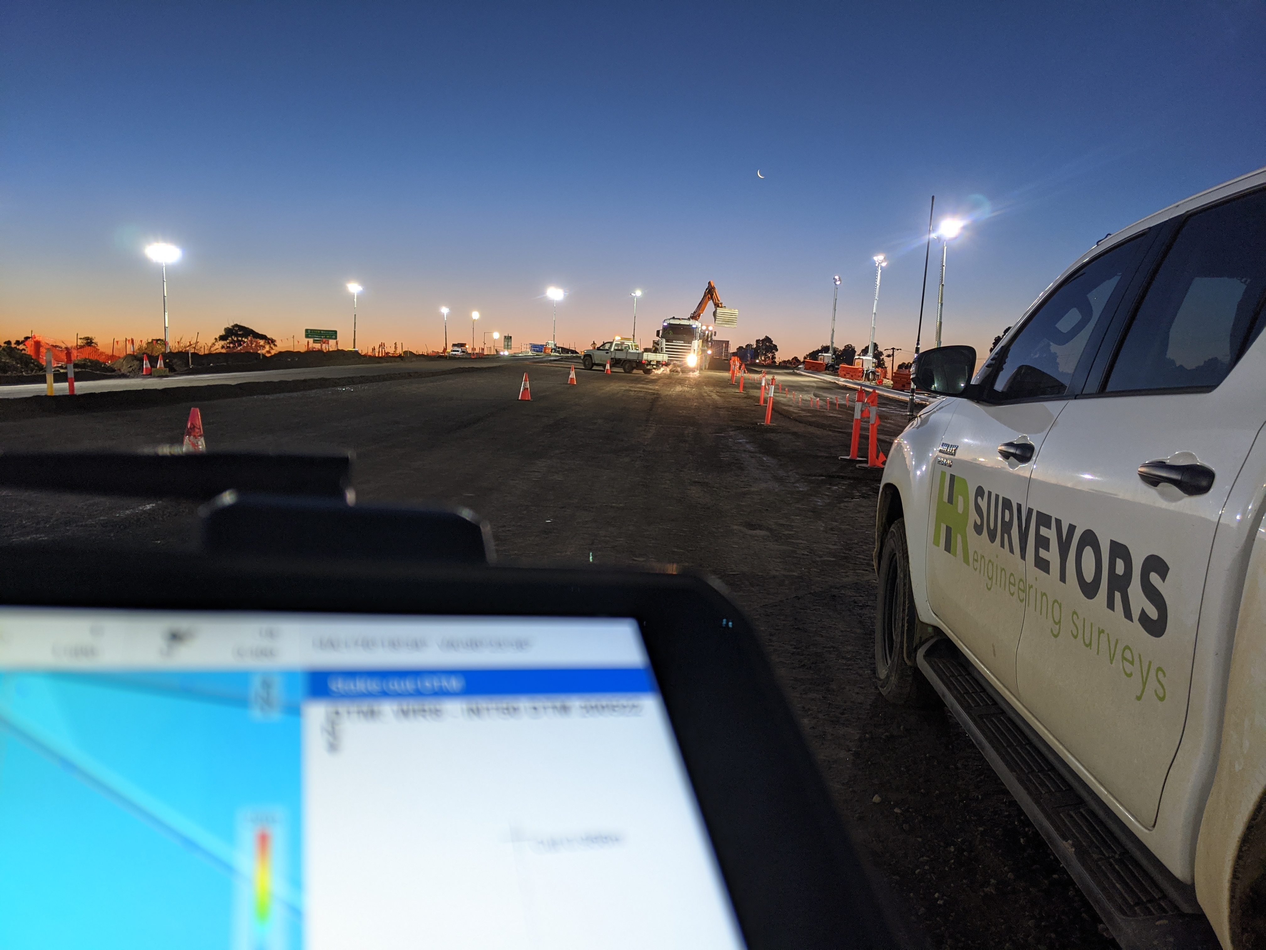
At HR Surveyors, we utilize both Total Stations and GPS systems strategically to deliver precise results tailored to project requirements. Dive deep into the world of Total Station surveying on our dedicated page, explore our comprehensive total station equipment guide, or read on to compare it with GNSS technology.
What is a Total Station?
A Total Station is an advanced surveying instrument that combines an electronic theodolite (for measuring angles) with an electronic distance measurement (EDM) device. It calculates precise coordinates by measuring angles and distances from a fixed location.
Key Features of Total Stations:
- High Precision: Millimeter-level accuracy, ideal for detailed measurements
- Angle and Distance Measurements: Simultaneously measures angles and distances to calculate coordinates
- Line-of-Sight Requirement: Requires a clear view between the instrument and the target (often a prism)
Applications:
- Construction setouts (e.g., building corners, road alignments)
- Boundary surveys requiring high precision
- Topographic surveys in smaller or obstructed areas
However, the accuracy of Total Stations rely heavily on the stability of its setup and the quality of the survey control points being used. Without reliable control points–fixed reference markers on site–it becomes impossible to establish accurate measurements.
What is GNSS in Surveying?
In surveying, GNSS refers to satellite-based positioning systems that determine coordinates using signals from multiple satellites such as GPS (US), GLONASS (Russia), Galileo (Europe), and Beidou (China). Modern GNSS surveying equipment often uses multiple constellations simultaneously for maximum accuracy and reliability.
Key Features of GPS Systems:
- Global Coverage: Works over large distances without requiring line-of-sight between points
- Centimeter-Level Accuracy: Achieved with RTK corrections in ideal conditions
- Fast Data Collection: Efficient for large-scale mapping projects
- Resilience to Changing Site Conditions: Effective even when survey control points are lost or compromised during earthworks
Applications:
- Earthworks during infrastructure or subdivision projects where site conditions change frequently
- Large-scale land surveys (e.g., subdivisions or agricultural mapping)
- Infrastructure projects like highways or pipelines
Accuracy Comparison: Total Stations vs GPS
| Feature | Total Station | GPS (RTK) |
|---|---|---|
| Accuracy | Millimeter-level precision | Centimeter-level precision |
| Range | Limited by line-of-sight (a few hundred meters) | Virtually unlimited with satellite visibility |
| Suitable environment | Obstructed sites or indoor areas | Open areas with clear sky access |
| Setup Time | Longer; requires careful calibration on a stable surface | Faster setup but dependent on satellite signals |
| Limitations | Relies on stable survey control; affected by atmospheric refraction | Signal drift or loss in remote areas e.g. canyons, forests, tunnels |
When to Use Total Stations vs GPS?
Choosing between Total Stations and GPS depends on the project’s specific needs:
Use Total Stations When:
- High Precision is Essential: For tasks requiring millimeter-level accuracy, such as construction layouts or boundary surveys
- Obstructed Areas: Ideal for sites where GNSS signals are blocked (e.g., dense urban areas or indoor environments)
- Detailed Measurements: Best for small-scale projects requiring precise angle and distance data, such as building setouts or topographic mapping in confined spaces
Use GPS When:
- Site Conditions Are Changing: During earthworks or other infrastructure projects, survey control points may be lost or compromised due to excavation or grading activities
- Large Areas Need Coverage: Perfect for surveying vast landscapes like subdivisions or agricultural fields
- Time Efficiency is Key: Faster data collection makes it ideal for large-scale projects like highway construction or infrastructure mapping
How HR Surveyors Utilizes These Tools
At HR Surveyors, we combine the strengths of both Total Stations and GPS technology to ensure optimal results for every project:
- For construction setouts in housing estates, we rely on Total Stations to achieve millimeter-level precision when marking building corners or road alignments
- For large-scale subdivision mapping, we use RTK-enabled GPS systems to efficiently cover extensive areas while maintaining centimeter-level accuracy
- By integrating both tools, we adapt to challenging site conditions—whether it’s an obstructed urban environment or an expansive rural landscape. Learn more about total station applications across different project types.
Common Misconceptions About Survey Equipment
Many clients ask about the differences between these tools, often assuming that one is universally better than the other. In reality:
- Both tools are highly accurate but excel in different scenarios based on environmental factors and project requirements
- GPS is not inherently less accurate than Total Stations; RTK corrections can achieve comparable precision under ideal conditions
- Total Stations are not outdated; modern robotic models streamline workflows by enabling single-person operation
Understanding these nuances helps developers make informed decisions about their projects while ensuring cost-effective solutions.
Conclusion
Both Total Stations and GPS systems are essential tools in modern surveying, each offering unique advantages tailored to specific project needs. At HR Surveyors, we leverage these technologies strategically to deliver precise results—whether you’re developing a new subdivision or managing a complex construction project.