Drone LiDAR and Traditional Ground Surveying: The Hybrid Workflow for Australian Projects
Drone LiDAR can cover massive land areas in a single flight and penetrate light vegetation better than photogrammetry ever could. But on most of our jobs across Victoria, Queensland, Western Australia and South Australia, we can’t rely on the drone data alone.
Our team at HR Surveyors combines drone LiDAR technology with traditional ground surveying. The result? The dataset that is both fast to capture and accurate enough for design, construction or as-built sign-off.
We call this the hybrid approach has become standard on larger or more complex sites because our clients need confidence in the final numbers. In the following sections, we will walk through exactly how we do it, when it makes sense, and when it doesn’t.
If you’re new to drone surveying, start with our earlier overview: Professional Drone Surveying: An Australian Perspective
Table of Contents
- The 9-Step Hybrid Workflow We Actually Follow
- Choosing the Right Approach
- Real Examples from Our Recent Jobs
- Why the Hybrid Approach Matters on Australian Sites
- FAQs
The 9-Step Hybrid Workflow We Actually Follow
This is how a typical hybrid job runs from first conversation to final handover. We keep the steps simple and in the order they actually happen:
1. Define outputs and tolerances
We start by sitting down with the client and clarifying exactly what the survey needs to deliver. Is it for design, construction monitoring, as-built or volumetric reporting? We lock in the required deliverables such as surface model or DTM, contours at a certain interval, CAD features and breaklines, or a simple volume report. We also confirm the accuracy class and datum (usually MGA2020 and AHD). Getting this right at the start stops rework later.
2. Site feasibility and method selection
Next we assess the site. Drone LiDAR handles the broad open areas quickly and gives consistent coverage. Ground survey takes care of project control, independent check points, and any features the drone might soften or miss completely. For instance, things like hard edges, drainage inverts where we can reach them, tie-ins to existing structures, or areas under overhangs. This is where we decide if pure LiDAR will do the job or if hybrid is the way to go.
3. Compliance and approvals
Before anyone steps on site we handle all the paperwork. Our team holds the necessary CASA ReOC and the pilots hold RePL. We work under our approved operations manual. We run airspace checks, get any controlled-airspace approvals, and sort landowner permissions. We also put together the site-specific safety plan, and how we’ll work around other trades. Skipping this step is not an option.
4. Establish survey control
The ground team goes in first. Then, we establish or verify the control network tied to the project datum. We set independent check points that will later validate the LiDAR data. These points are surveyed with total station or GNSS to a higher order than the drone will achieve. This becomes a benchmark for the whole dataset.
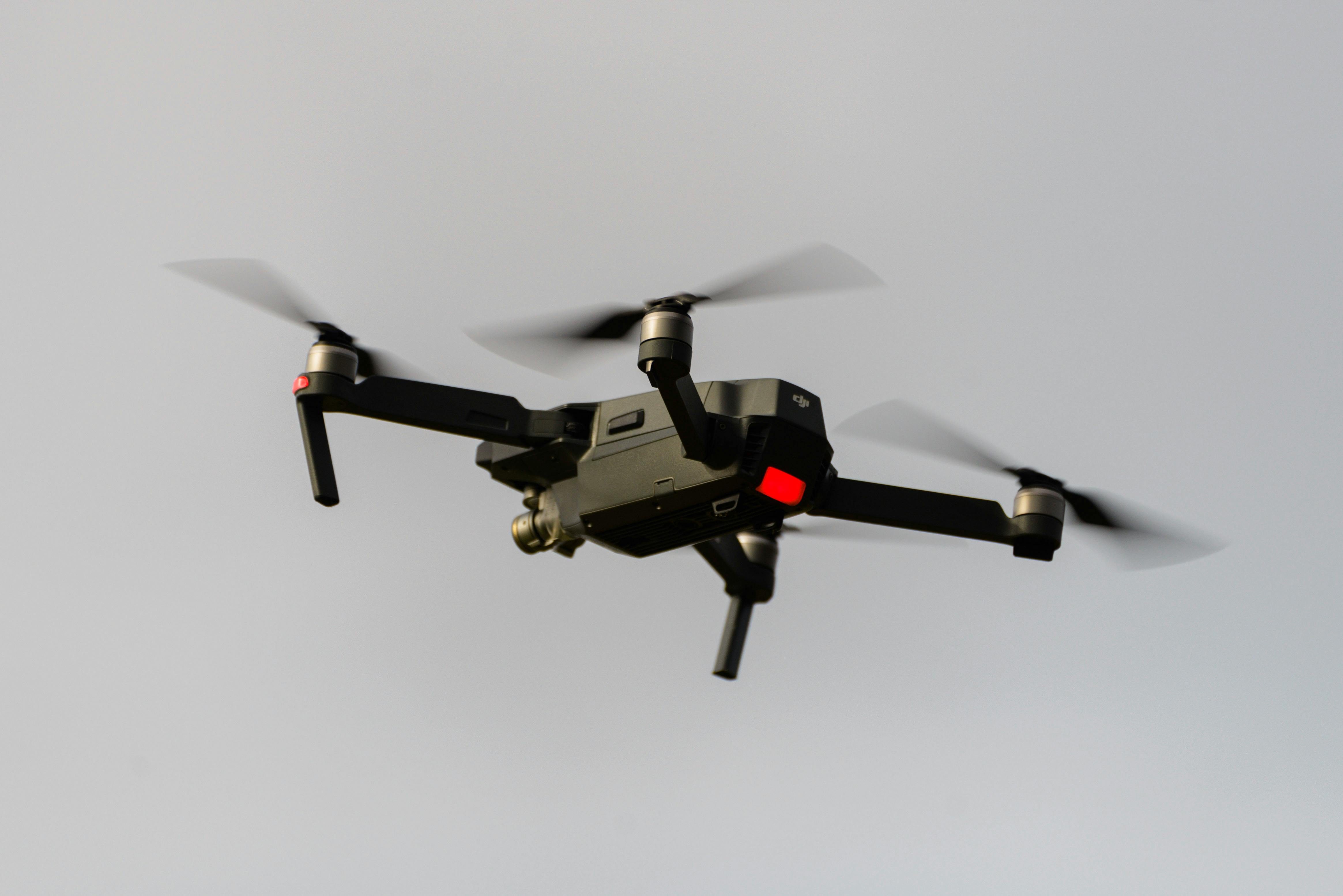
5. Drone LiDAR capture
With control in place, the drone team flies. We complete pre-flight checks, coordinate with site personnel, and fly safe patterns to hit the required point density. We often add a few cross-lines for extra overlap and QA. Flights are kept short and safe, under the 30-minute limit per battery, to keep everything within visual line of sight.
6. Process the LiDAR data
Back at the office we process the raw flight data. Trajectory adjustment uses PPK or RTK as appropriate. We generate the point cloud, align the strips, and run basic classification to separate ground from non-ground points. This gives us a clean base to work from.
7. Ground validation and critical feature pickup
This is when the hybrid approach makes the difference. We compare the LiDAR point cloud against our independent check points and record the actual accuracy achieved. Then the ground surveyors go back out and pick up any critical features the drone couldn’t resolve cleanly. It could be things like drainage inverts, kerb lines, building corners, or anything under dense canopy. We then merge these into the dataset so nothing important gets smoothed over.
8. Build the final deliverables
We combine the LiDAR surface with the ground-surveyed features to create the final model. Contours, breaklines and CAD layers are added exactly as specified. We also prepare a short QA summary that lists the control method, check-point results and the accuracy statement. Everything gets benchmarked against the original scope.
9. Final review and handover
One last close-out check against the client’s naming conventions, file formats, layering and metadata. Once that’s clean we issue the package, we’re available for questions after handover.
Choosing the Right Approach
Pure LiDAR, hybrid, or full traditional ground survey—which one actually fits your project’s needs? Here’s a simple framework to help you guide that decision.
LiDAR-only works well when:
- The site is relatively open and large
- You mainly need a surface model or contours for volumes or broad topo
- Ground returns are reliable and safety or access is an issue (steep batters, active plant areas, remote sites)
- You can still do basic validation with check points
Hybrid (LiDAR plus targeted ground survey) is recommended when:
- The client needs both a solid surface and high-confidence detail on key features
- There are design tie-ins, pavement edges or drainage structures that matter
- Vegetation or built-up areas mean the drone alone won’t capture everything cleanly
- You want documented independent verification and a clear QA summary for sign-off
Traditional ground survey only makes sense when:
- The site is small or very complex
- Heavy canopy or structures block LiDAR performance
- The scope is feature-heavy with tight tolerances (detailed set-out or as-built)
- Drone flight restrictions or site rules make it impractical
Here’s the table we often share with clients:
| Survey Method | Best Suited For | Main Advantages | Limitations | Common Australian Projects |
|---|---|---|---|---|
| LiDAR-only | Large open sites needing surface/contours/volumes | Fast coverage, less time in hazardous areas | Can miss hard edges, inverts, heavy canopy | Stockpile volumes, broad mining topo, remote exploration |
| Hybrid (LiDAR + ground) | Projects needing speed plus detailed features | Reliable surface and verified critical detail, full QA | Slightly longer field time | Highway upgrades, subdivisions, wind-farm sites, wharves |
| Traditional ground | Small/complex sites with tight tolerances | Every element positively surveyed | Slower on large areas, more exposure to hazards | Detailed construction set-out, CBD as-builts |
Real Examples from Our Recent Jobs
Port of Hastings, Victoria
We flew LiDAR at low tide to capture as much of the ocean floor and foreshore as possible ahead of new wharf construction. The drone gave excellent coverage across the intertidal zone. The ground team then picked up the existing structures, tie-ins and critical levels that the drone couldn’t resolve in shallow water. The hybrid dataset let the designer work with accurate levels right up to the proposed wharf footprint.
Pakenham Highway Upgrade, Victoria
On this 24 km highway and adjoining properties section, we used LiDAR for the broad surface model needed for the new water main design. The ground surveyors followed up and captured all the drainage inverts, pavement edges and service tie-ins. The client received a complete model that integrated directly into their civil design software without extra processing.
Point Henry Earthworks, Victoria
We flew weekly LiDAR surveys to track cut and fill volumes on an active site. The drone gave fast, safe coverage across the whole area. Ground checks at the end of each week validated the volumes and picked up any new structures. The contractor used the reports for monthly progress claims and the numbers matched their own measurements within the expected tolerance.
In each case the hybrid method saved time on site and gave the client a deliverable they could hand straight to their engineers or certifiers.
Why the Hybrid Approach Matters on Australian Sites
Australian projects often span big distances, varied terrain and tight safety rules. Pure drone data looks impressive but can fall short when it comes to legal sign-off or detailed design. Combining LiDAR with ground survey can deliver datasets that meet MGA2020 requirements and can be signed off by a registered surveyor. This is crucial for council approvals, construction contracts and any future disputes.
We also reduce time crews spend in hazardous zones such as steep batters, active traffic areas or unstable ground. The drone handles the open ground and we only put people where they need to be for the detail that matters.
FAQs
How many ground control points do you need?
Usually 8-10 well-distributed independent check points plus the main control network. More on very large or complex sites—upwards of 16 on larger sites.
Can we use basic locating data instead of full survey pickup?
While independent ground checks are recommended for anything that affects design or volumes, the level of survey pickup can be scaled to your project requirements and risk tolerance.
What accuracy should I expect in practice?
In open areas: ±30-50mm vertical accuracy. In dense or vegetated areas: ±50-100mm vertical accuracy.
In terms of volumes and stockpiles and surfaces, if you completed a traditional survey the volume would be approximately 3-10% accurate, but if you flew a drone the volume accuracy would be closer to 1-3%.
Does this work under canopy?
LiDAR penetrates light to moderate vegetation better than photogrammetry, but very dense canopy still needs ground pickup. We tell clients upfront what to expect. A drone usually requires open airspace—if you flew over a canopy it would measure the top of the canopy.
How long does a hybrid survey take compared with traditional?
This depends on the size of the project. Traditional surveys are usually a lot more man hours in the field, but shorter or similar office time. Hybrid surveys significantly reduce field time while maintaining comparable office processing time.
Wrapping Up
The hybrid approach isn’t about choosing the latest technology for efficiency. It’s about using the right tool for each part of the job so the final dataset is fast, safe and accurate enough for real Australian projects. We’ve refined this workflow over years of experience and it works consistently across mining, infrastructure, renewables and subdivision work.
If you have a project coming up and want to talk through whether pure LiDAR, hybrid or traditional ground survey is the best fit, our teams in Melbourne, Geelong, Brisbane, Perth and Adelaide are here to help. Drop us a line with a few details about the site and we’ll give you a clear recommendation and quote.
Ready to start your next project? Contact HR Surveyors specialists today to discuss your requirements and ensure precision delivery for your surveying needs.